- New Jersey Route 120
-
Route 120
Paterson Plank Road 
Route information Maintained by NJDOT Length: 2.65 mi[1] (4.26 km) Existed: 1990s – present Major junctions South end:  Route 3 in East Rutherford
 CR 503 in East Rutherford
North end: 
 Route 17 / CR 120 in Carlstadt
Highway system New Jersey State Highway Routes
Interstate and US←  Route 109
US 122  →
→Route 120 is a state highway located in Bergen County, New Jersey, United States. It extends 2.65 mi (4.26 km) from an interchange with Route 3 in East Rutherford to another interchange with Route 17 in Carlstadt, where it continues to the west as County Route 120. NJ 120 serves the Meadowlands Sports Complex, which consists of MetLife Stadium, Meadowlands Racetrack, and the Izod Center. It heads north from Route 3 as a six-lane freeway through the sports complex to an interchange with the southern terminus of County Route 503. From here, Route 120 heads northwest along the northern edge of the sports complex as a four-lane divided at-grade Paterson Plank Road, passing through industrial and commercial areas.
In 1927, Route 3 was legislated along the Paterson Plank Road portion of present-day Route 120. It was eventually designated along the entire portion of current Route 120. In 1953, Route 3 was moved to its current freeway alignment, replacing Route S3, and a portion of Route 20 was designated to run from current Route 3 north to Paterson Plank Road while Paterson Plank Road was removed from the state highway system. The portion of Paterson Plank Road that lost its state highway status in 1953 gained it back in 1972, when it became an extension of Route 20 as a result of the construction of the Meadowlands Sports Complex. As this route was not connected to the mainline of Route 20, it was designated Route 120 by the 1990s. As a result of the construction of American Dream Meadowlands, the interchange between Route 3 and Route 120 is being improved. An overpass between eastbound Route 3 and northbound Route 120 was completed in 2009 and a flyover from southbound Route 120 to eastbound Route 3 is to be completed in 2010.
Contents
Route description
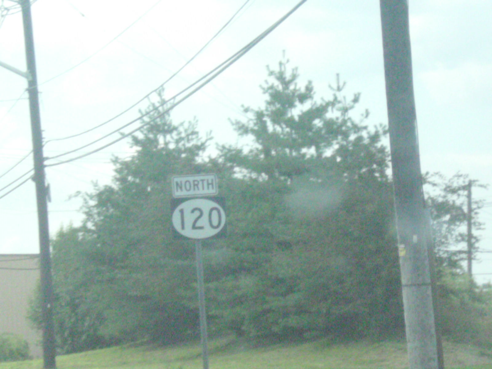
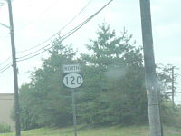 Shield for northbound Route 120.
Route 120 begins at an interchange with Route 3 in East Rutherford, heading to the north on a six-lane freeway with a 50 mph (80 km/h) speed limit.[1] The freeway heads north-northeast into the Meadowlands Sports Complex. Here, MetLife Stadium is on the west side of the road while the Izod Center and the construction site of American Dream Meadowlands are on the east side of the road.[2] Here, the route becomes a 40 mph (64 km/h) freeway that has two interchanges that provide access to the sports complex. The route comes to an interchange with the southern terminus of County Route 503 (Washington Avenue) and Paterson Plank Road, where Route 120 becomes a four-lane divided surface road that merges with Paterson Plank Road as it heads northwest along the border of Carlstadt to the northeast and East Rutherford to the southwest. Meanwhile, County Route 503 continues north-northeast to head into the eastern part of Carlstadt.[1][2]
Route 120 passes between the Meadowlands Racetrack and New Jersey Transit's Meadowlands Rail Line on the East Rutherford side of the road and commercial and industrial areas on the Carlstadt side of the road, intersecting with Gotham Parkway. The route has a southbound exit and entrance to the Meadowlands Sports Complex before it crosses Berrys Creek. Upon crossing the creek, Route 120 continues northwest through industrial and commercial areas, intersecting with Murray Hill Parkway.[2] A short distance past this intersection, the road becomes a four-lane undivided road that crosses New Jersey Transit’s Pascack Valley Line before coming to an interchange with Route 17.[1][2] Here, Route 120 ends and County Route 120 continues to the west as Paterson Avenue.[1]
County Route 120
After crossing the Passaic River into Bergen County, the road is called Paterson Avenue and designated as County Route 120, in Wallington, in a residential and light-density commercial area. The road becomes the border between Wallington to the north and East Rutherford to the south. At the end of Wallington, Paterson Avenue is the border between Carlstadt and East Rutherford for a short distance but then the road dips into East Rutherford to avoid a hill (the bypass, which goes over the hill, is called Hoboken Road). The road returns to the Carlstadt/East Rutherford border at Route 17 which it crosses over via an overpass, and is then designated as Route 120 and Paterson Plank Road for a distance.[3]
History
In the 1927 New Jersey state highway renumbering, Route 3 was legislated to run along the Paterson Plank Road portion of today’s Route 120 as part of its route between Secaucus and Greenwood Lake.[4][5] By 1947, Route 3 had been designated along the entire alignment of current Route 120.[6] When New Jersey renumbered its state highways in 1953, Route 3 was moved to a new freeway alignment that was Route S3. As a result of this realignment, the portion of the route between modern Route 3 and Paterson Plank Road became a portion of Route 20 while the section along Paterson Plank Road was removed from the state highway system.[7][8] Paterson Plank Road between County Route 503 and Route 17 joined the state highway system again as an extension of this portion of Route 20 in 1972 when the Meadowlands Sports Complex was slated to be built.[9] At this point, Route 20 had consisted of three disconnected segments. Since none of these segments were connected, this portion of road was redesignated Route 120 by the 1990s.[10][11]
With the construction of American Dream Meadowlands, several improvements are taking place to Route 120. The interchange with Route 3 is being reconstructed with an overpass between eastbound Route 3 and northbound Route 120 that was completed in May 2009 at a cost of $38.1 million.[12] Also, a flyover from southbound Route 120 to eastbound Route 3 is planned to be completed in early 2010 at a cost of $13 million.[13]
Major intersections
The entire route is in Bergen County.
Town Mile[1] Destinations Notes East Rutherford 0.00 Secaucus local streets Continuation beyond NJ 3 Route 3 – Clifton, Lincoln TunnelSouthern terminus of NJ 120 0.27
0.74Meadowlands Sports Complex access 1.03 CR 503 north (Washington Avenue) – MoonachieNorth end of freeway 1.58 Gotham Parkway 2.26 Murray Hill Parkway Carlstadt 2.65 Route 17 (11th Street) / CR 120 west (Paterson Avenue)Interchange, northern terminus of NJ 120 1.000 mi = 1.609 km; 1.000 km = 0.621 mi See also
 U.S. Roads portal
 New Jersey portal
References
- ^ a b c d e f "Route 120 straight line diagram" (PDF). New Jersey Department of Transportation. http://www.state.nj.us/transportation/refdata/sldiag/00000120__-.pdf. Retrieved 2009-06-30.
- ^ a b c d Google, Inc. Google Maps – overview of New Jersey Route 120 (Map). Cartography by Google, Inc. http://maps.google.com/maps?f=d&source=s_d&saddr=NJ-3+E+%26+Rte-3+E,+East+Rutherford,+Bergen,+New+Jersey+07073&daddr=40.824072,-74.073086+to:11th+street+and+route+120+carlstadt,+nj&geocode=FROmbgId6bKV-w%3B%3B&hl=en&mra=dpe&mrcr=0&mrsp=1&sz=13&via=1&sll=40.818065,-74.087495&sspn=0.057421,0.110035&ie=UTF8&ll=40.820435,-74.074974&spn=0.028709,0.055017&t=h&z=14. Retrieved 2009-06-30.
- ^ "County Route 120 Straight Line Diagram". Trenton, New Jersey: New Jersey Department of Transportation. 2009. pp. 1. http://www.state.nj.us/transportation/refdata/sldiag/02000120__-.pdf. Retrieved 07 December 2009.
- ^ State of New Jersey, Laws of 1927, Chapter 319.
- ^ Williams, Jimmy and Sharon. "1927 New Jersey Road Map". 1920s New Jersey Highways. http://www.jimmyandsharonwilliams.com/njroads/1920s/images/1927_routes.gif. Retrieved 2008-10-08.
- ^ United States Geological Survey (1946). Newark 1:250,000 quadrangle (Map). http://www.lib.utexas.edu/maps/topo/250k/txu-pclmaps-topo-us-newark-1947.jpg. Retrieved 2009-06-30.
- ^ 1953 renumbering. New Jersey Department of Highways. http://en.wikisource.org/wiki/1953_New_Jersey_state_highway_renumbering. Retrieved July 31, 2009.
- ^ "New Road Signs Ready in New Jersey". The New York Times. December 16, 1952. http://img123.imageshack.us/img123/6933/19521216newroadsignsreaiu6.jpg. Retrieved 2009-07-20.
- ^ State of New Jersey, Laws of 1972, Chapter 209.
- ^ State Farm Insurance (1983). State Farm Road Atlas (Map). Cartography by Rand McNally.
- ^ Rand McNally (1996). United States-Canada-Mexico Road Atlas (Map).
- ^ Brennan, John (May 1, 2009). "newstracker: Road, Rail improvements on TRACK for xanadu project". The Record.
- ^ Brennan, John (November 17, 2008). "Sports complex rail, roads racing to the finish line". The Record.
External links
Categories:- State highways in New Jersey
- Transportation in Bergen County, New Jersey


Wikimedia Foundation. 2010.