- Mount Ritter
-
Mount Ritter 
Mount Ritter (left) from the John Muir Trail, July 2006Elevation 13,149 ft (4,008 m) [1][2] Prominence 3,957 ft (1,206 m) [2] Parent peak Red Slate Mountain[3] Listing SPS Emblem peak[4]
Highest point in Madera County[2]Location Location John Muir Wilderness,
Madera County, California, USARange Sierra Nevada, Ritter Range Coordinates 37°41′22″N 119°11′57″W / 37.6893780°N 119.1990298°WCoordinates: 37°41′22″N 119°11′57″W / 37.6893780°N 119.1990298°W[5] Topo map USGS Mount Ritter Geology Type Metavolcanic rock Age of rock Cretaceous Climbing First ascent 1872 by John Muir[6] Easiest route Snow/rock scramble Mount Ritter is located in the Sierra Nevada, in Madera County of California, in the Western United States. It is in the Ansel Adams Wilderness of the Inyo and Sierra National Forests. Mount Ritter is the 16th highest mountain peak of California.
Contents
Geography
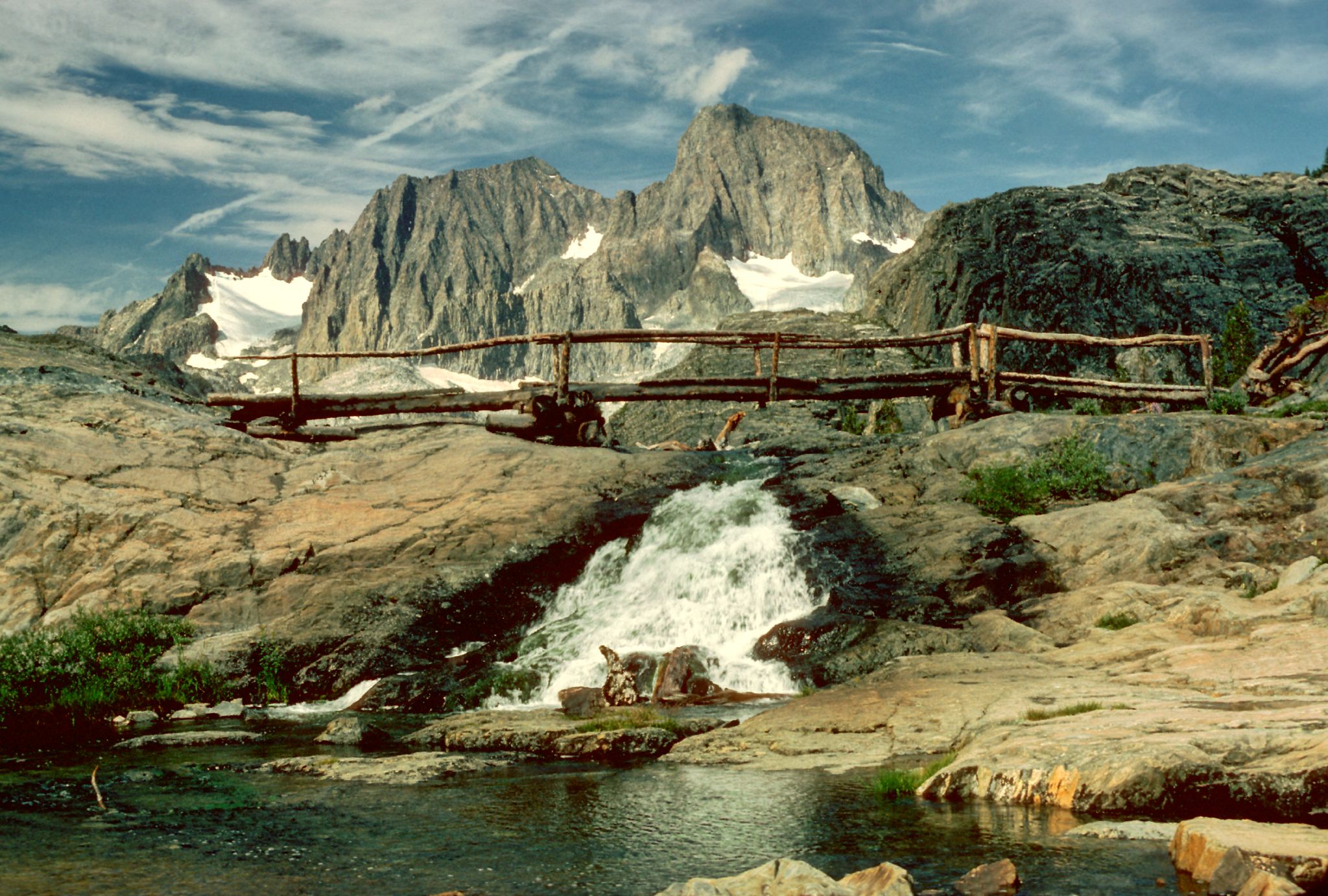
Mount Ritter is made of a strikingly dark rock, and is quite prominent due to its height (over 13,000 ft) and isolation.[2] It is in the middle of the Ritter Range, which includes Banner Peak and the Minarets. The prominent and memorable shape of the Ritter-Banner pair is visible from high elevations far to both north and south along the Sierras.
The mountain is named for Carl Ritter, who had been a teacher of Josiah Whitney, chief of the California Geological Survey, when he was a student in Berlin during the 1840s.[7]
See also
- Ritter Range
- California 4000 meter peaks
- List of highest points in California by county
- Mountain peaks of California
- Mountain peaks of the United States
- Mountain peaks of North America
- Thirteener
References
- ^ The NGVD 29 elevation of 13,140 feet was converted using VERTCON to the NAVD 88 elevation of 13,149 feet.
- ^ a b c d "Mount Ritter, California". Peakbagger.com. http://www.peakbagger.com/peak.aspx?pid=2626. Retrieved 2009-08-09.
- ^ "Ritter, Mount". LoJ.com. http://listsofjohn.com/PeakStats/Climbers.php?Id=16797. Retrieved 2011-06-01.
- ^ "Sierra Peaks Section List". Angeles Chapter, Sierra Club. http://angeles.sierraclub.org/sps/spslist.pdf. Retrieved 2009-08-09.
- ^ "Mount Ritter". Geographic Names Information System, U.S. Geological Survey. http://geonames.usgs.gov/pls/gnispublic/f?p=gnispq:3:::NO::P3_FID:1659516. Retrieved 2009-08-09.
- ^ Muir, John. "Mount Ritter". The Mountains of California. http://www.sierraclub.org/john_muir_exhibit/writings/mount_ritter.html. Retrieved 2009-08-09.
- ^ Browning, Peter (1986). Place Names of the Sierra Nevada. Berkeley: Wilderness Press. p. 183. ISBN 0-89997-047-8.
External links
- "Mount Ritter". SummitPost.org. http://www.summitpost.org/page/363. Retrieved 2011-06-01.
- "Aerial View of Ritter, Banner, and Surrounding Peaks". http://www.timberlinetrails.net/MrRitterAerial.html. Retrieved 2011-06-01.
Categories:- Mountains of Madera County, California
- Inyo National Forest
- Sierra National Forest
- Mountains of the Ansel Adams Wilderness
- Madera County, California geography stubs
Wikimedia Foundation. 2010.