- Nangamangalam
-
் Nangamangalam — village — Coordinates 13°13′N 79°06′E / 13.21°N 79.1°ECoordinates: 13°13′N 79°06′E / 13.21°N 79.1°E Country India State Andhra Pradesh District(s) Chittoor Population 2,661 (2001[update]) Time zone IST (UTC+05:30) Area
• 300 metres (980 ft)
Nangamangalam (Telugu: నంగమంగళం, Tamil: நங்கமங்களம்) is a village in the Chittoor district of Andhra Pradesh in India.
Contents
Location and accessibility
It is situated close to the Tamil Nadu border at the junction of the Katpadi - Tirupati railway line and the Chennai - Mumbai National Highway (NH 4). The village is well connected to Chittoor and Vellore with frequent bus services. The nearest Railway station is Bommasamudram in Andhra Pradesh, which is around a kilometre away from the village, connecting the village with Katpadi, in Tamil Nadu, and Tirupati, in Andhra Pradesh.
History
The village supposedly came up around 500 years back when a few people belonging to Reddy community from Guntur and Nellore came and settled here, an area under the rule of Bomminayaka who ruled Vellore.
Administration
The village comes under the Gudipala Mandal of Chittoor District and falls under the Vepanjeri assembly constituency and Chittoor parliamentary constituency.
Demographics
The village has two parts - the Christian part and the Hindu part - separated by half a kilometre. Majority of the residents in the Christian part are Protestant Christians and they predominantly speak Tamil. Present at the center of this part is a Church of South India (CSI) Church which comes under the CSI Vellore Diocese. Residents in the Hindu part of the village speak Telugu. It has two temples for,one for Dharmaraja, and Ramalayam.
The table below shows the demographic details of Nangamangalam.[1]
Description Count Households 737 Total Population 2,661 Male population 1,275 Female Population 1,386 Population under 6 years 315 Boys Under 6 Years 158 Girls Under 6 Years 157 Total Literates 1,710 Total Illiterates 951 Economy
Agriculture is the main source of occupation and income. Sugarcane, Groundnut, Rice, Coconut etc... are cultivated. State Bank of India has a branch office in Nangamangalam with an ATM center[2]. Few villagers also work as teachers and bank staff in the nearby cities of Vellore, Chittoor and Chennai. Over the years large proportion of the residents, especially those well educated, have migrated to bigger cities in search of better job and educational opportunities.
Surrounding regions
There are a few hillocks nearby and a rain-fed stream runs on the periphery of the village. Nearby Nangamangalam, there is a Sri Remkambal Temple (www.nangamanglam.com). Sacred hillock named Zion Hill, on top of which there is a sacred Chapel. Every year, an annual Christian festivity takes place here, for which hundreds of people throng from the nearby areas. There is also a temple for Amavar-Renukamba present in a nearby hillock.
Nangamangalam.com ==Gallery==
-
Bnr.jpg
A street in Nangamangalam
-
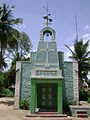
The CSI Church in Nangamangalam
-

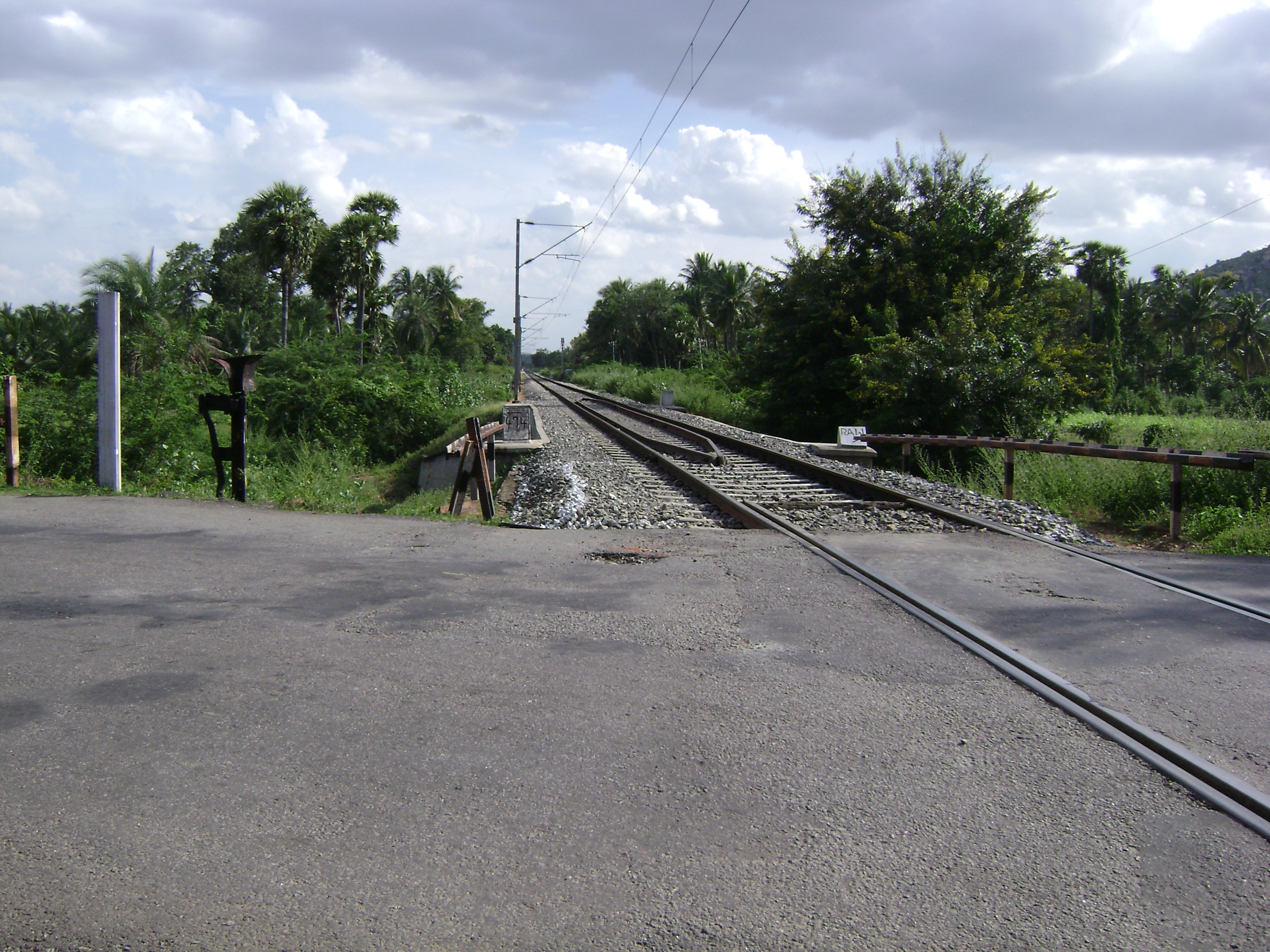
Junction of NH4 and Katpadi - Tirupati railway line
-
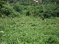
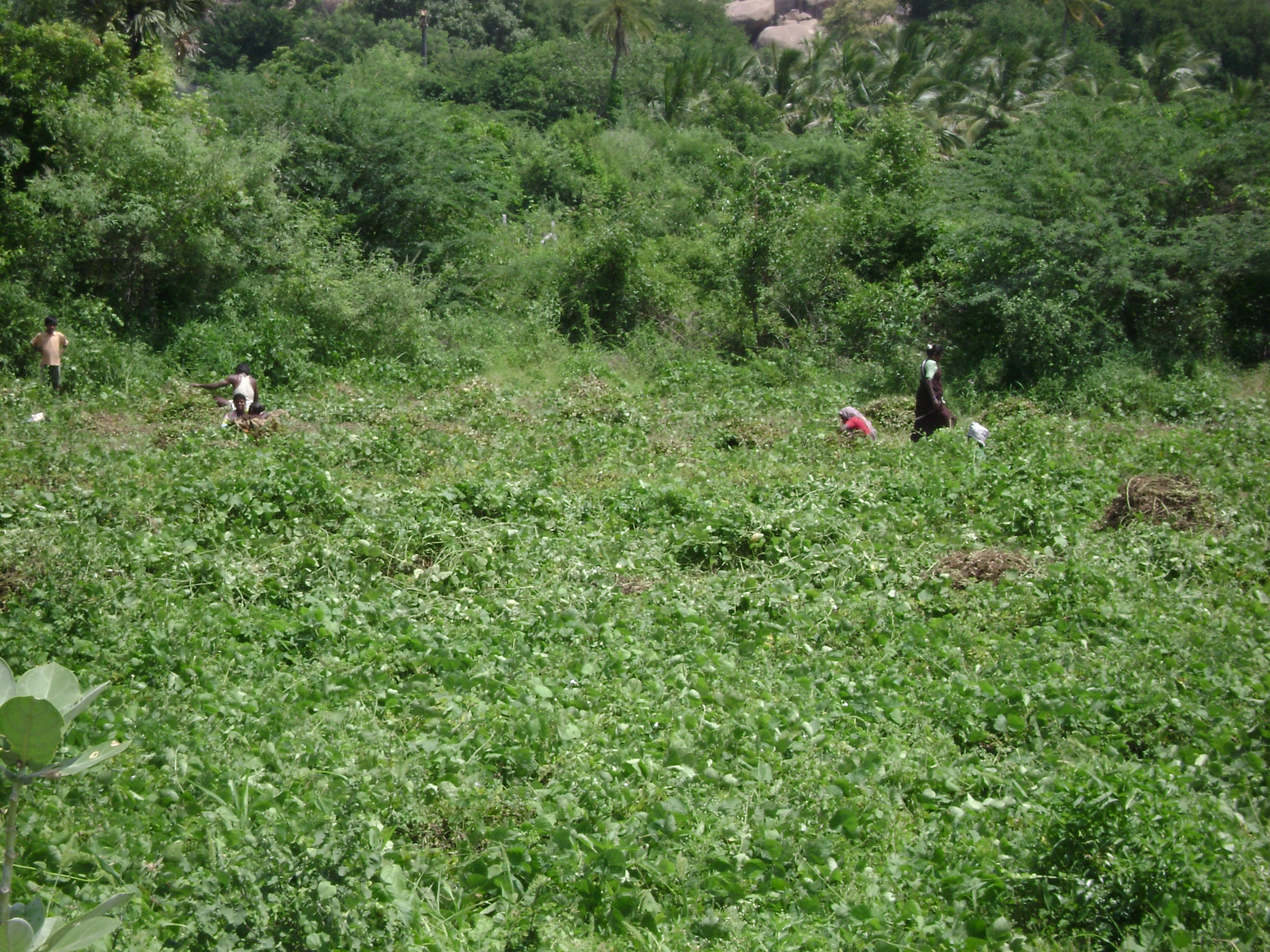
Villagers working in a field
References
- ^ "Population data for Nangamangalam". OurVillageIndia.org. 2007. http://ourvillageindia.org/Place.aspx?PID=30263. Retrieved 2009-02-19.
- ^ [1]
Categories:- Villages in Chittoor district
-


Wikimedia Foundation. 2010.