- Massachusetts Route 21
-
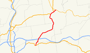
Route 21
Route information Length: 13.73 mi[1] (22.10 km) Major junctions South end:  US 20 in Springfield
 Route 141 in Springfield
 I-90 in Ludlow
 US 202/Route 181 in Belchertown
North end:  Route 9 in Belchertown
Highway system Massachusetts State Highway Routes
←  Route 20A
Route 22  →
→Route 21 is a south–north state highway in Massachusetts that runs between Springfield and Belchertown.
Route description
The route begins at U.S. Route 20 in the Indian Orchard section of Springfield. It heads north, intersecting with Route 141 before crossing the Chicopee River into Ludlow. Once in Ludlow, the road continues in a northeasterly direction. It passes under the Massachusetts Turnpike, with access to that road via Exit 7. It continues through town, passing south of the Springfield Reservoir before heading northward into Belchertown. In Belchertown it shares a concurrency with U.S. Route 202, which ends at Route 181. From there Route 21 makes its final short trek to its current terminus at Route 9.
Prior to the completion of the Quabbin Reservoir, Route 21 extended further northward. It passed through the former town of Enfield, then northward along the Swift River into Greenwich and the northern end of Dana before heading through the current town of Petersham and into Athol, where it terminated at what is now Route 2A. The southern portion of the road (Old Enfield Road) is still accessible in Belchertown. The northern trunk follows Pleasant Street and New Sherborn Road in Athol, then the Monson Turnpike (Turnpike Road) in Petersham, where the road had an intersection with Route 122. Much of the route south of this intersection lies within the Quabbin Reservoir State Reservation.[2]
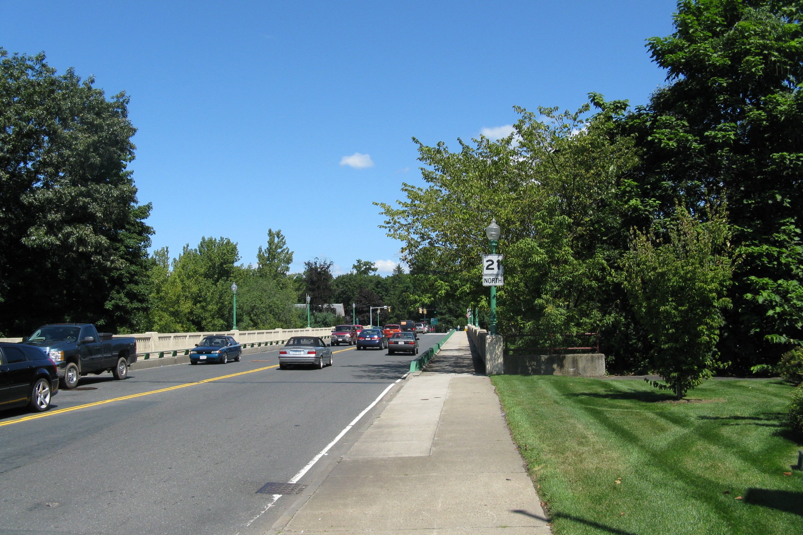
 Northbound entering Ludlow
Junction list
County Location Mile Roads intersected Notes Hampden Springfield 0.0 U.S. Route 20
Route 141Southern terminus of Routes 21 & 141; southern end of concurrency with Route 141 1.2 Route 141Northern end of concurrency with Route 141 Ludlow 2.3 I-90Mass Pike Exit 7 Hampshire Belchertown 12.0 U.S. Route 202Southern end of concurrency with US 202 13.0 U.S. Route 202
Route 181Northern end of concurrency with US 202; northern terminus of Route 181 13.73 Route 9Northern terminus of Route 21 (Signed as U.S. Route 21) References
- ^ Executive Office of Transportation, Office of Transportation Planning - 2007 Road Inventory
- ^ Tougias, Michael. Quabbin: A History and Explorers Guide. Yarmouth Port, Massachusetts: On Cape Publications, 2002, p.48.
Categories:- Numbered routes in Massachusetts


Wikimedia Foundation. 2010.