- New York State Route 348
-
NYS Route 348
Fiske Road 
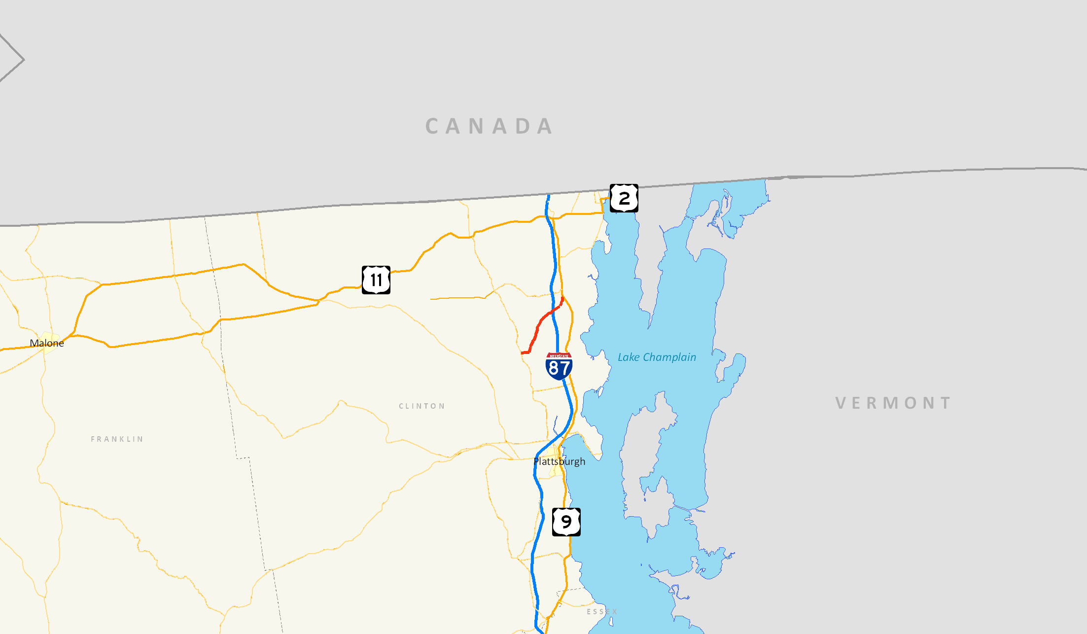
Map of Clinton County and vicinity with NY 348 highlighted in redRoute information Maintained by NYSDOT Length: 6.26 mi[3] (10.07 km) Existed: 1930[1] – January 7, 1980[2] Major junctions South end:  NY 22 in Chazy
North end:  US 9 in Chazy
Location Counties: Clinton Highway system Numbered highways in New York
Interstate • U.S. • N.Y. (former) • Reference • County←  NY 347
NY 349  →
→New York State Route 348 (NY 348) was a state highway located within the town of Chazy in Clinton County, New York, United States. It stretched for 6.2 miles (10 kilometers) from NY 22 in the hamlet of West Chazy to U.S. Route 9 (US 9) in the hamlet of Chazy and passed under the Adirondack Northway (Interstate 87 or I-87). NY 348 did not intersect any state routes or pass through any communities other than those at each of its termini.
When NY 348 was originally assigned as part of the 1930 renumbering of state highways in New York, it began in West Chazy and ended in the village of Champlain. The route was extended northeastward to Rouses Point by 1931, then truncated to the hamlet of Chazy in the early 1960s. NY 348 ceased to exist entirely in 1980, at which time its former routing became County Route 24 (CR 24).
Contents
Route description
NY 348 began at an intersection with Route 22 and West Church Street in the hamlet of West Chazy,[4] located 2 miles (3.2 km) east of Flat Rock State Forest.[5] The route headed eastward, intersecting with local roads. After crossing a pair railroad tracks, Route 348 turned to the northeast towards Chazy at an intersection with Ketchum Bridge Road and Stratton Hill Road. As the highway headed to the northeast, it passed through rural sections of Clinton County, full of farms and forests.[4]
 1956 USGS quad in Rouses Point showing the northward extension of NY 348.
Further northeast, Route 348 passed Kinsey Road. The highway then paralleled Route 22 as it continued to the northeast. Route 348 then intersected Slosson Road just after 2 miles (3 km). It then intersected with Clark Street and Ridge Road before turning to the east. A little time later, Route 348 crossed over the Adirondack Northway (I-87) with no access to the expressway. Route 348 ended shortly afterward at US 9 in Chazy just north of the Little Chazy River.[4]
History
NY 348 was assigned as part of the 1930 renumbering of state highways in New York. At the time, it began at NY 22 in the hamlet of West Chazy and ended at US 11 in the village of Champlain. NY 348 had an overlap with US 9 from Chazy to what is now NY 9B in the town of Champlain. Here, US 9 forked to the east and followed the length of modern NY 9B to Rouses Point.[1] NY 348 was extended east to Rouses Point along US 11 and what is now NY 276 by the following year.[6]
In the mid-1940s, US 9 was rerouted to follow its modern alignment through Champlain, creating a lengthy overlap between NY 348 and US 9 from Chazy hamlet to Champlain village.[7][8] The overlaps with both US 9 and US 11 were eliminated in the early 1960s after NY 348 was truncated on its northern end to its junction with US 9 in Chazy.[9][10]
NY 348 was removed from the state highway system in 1980. The designation officially ceased to exist on January 7, 1980,[2] and ownership and maintenance of the route was transferred from the state of New York to Clinton County on April 1, 1980, as part of a highway maintenance swap between the two levels of government.[11] The former routing of NY 348 was redesignated as CR 24.[12]
The bridge that carried NY 348 over the Little Chazy River just south of its junction with US 9 in Chazy was rehabilitated in 1995, 80 years after its initial construction in 1915.[13]
Major intersections
The entire route was in Chazy, Clinton County.
Mile[3] Destinations Notes 0.00 NY 22Hamlet of West Chazy 6.26 US 9Hamlet of Chazy 1.000 mi = 1.609 km; 1.000 km = 0.621 mi References
- ^ a b Standard Oil Company of New York (1930). Road Map of New York (Map). Cartography by General Drafting.
- ^ a b New York State Department of Transportation (January 2009) (PDF). Official Description of Highway Touring Routes, Bicycling Touring Routes, Scenic Byways, & Commemorative/Memorial Designations in New York State. https://www.nysdot.gov/divisions/operating/oom/transportation-systems/repository/2009%20tour-bk.pdf. Retrieved July 23, 2009.
- ^ a b Clinton County, New York (2007). "2007 Pavement Inventory & Condition Rating" (PDF). http://www.clintoncountygov.com/Departments/Highway/2007%20PAVEMENT%20CONDITION.pdf. Retrieved February 20, 2008.
- ^ a b c Google, Inc. Google Maps – overview map of former NY Route 348 (Map). Cartography by Google, Inc. http://maps.google.com/maps?hl=en&rlz=1T4ADBF_enUS232US232&q=from:+Fiske+Rd+%4044.820619,+-73.508473+to:+Fiske+Rd+%4044.825025,+-73.493692+to:Fiske+Rd+%4044.885902,+-73.435690&um=1&ie=UTF-8&sa=N&tab=il. Retrieved January 4, 2008.
- ^ "Eastern Adirondacks / Lake Champlain – Region 5". New York State Lands. New York State Department of Environmental Conservation. http://www.dec.ny.gov/outdoor/7798.html. Retrieved July 2, 2010.
- ^ Kendall Refining Company (1931). New York (Map). Cartography by H.M. Gousha Company.
- ^ Esso (1942). New York with Pictorial Guide (Map). Cartography by General Drafting.
- ^ State of New York Department of Public Works. Official Highway Map of New York State (Map). Cartography by General Drafting (1947–48 ed.).
- ^ Esso (1962). New York with Sight-Seeing Guide (Map). Cartography by General Drafting.
- ^ Sinclair (1964). New York and Metropolitan New York (Map). Cartography by Rand McNally and Company.
- ^ New York State Legislature. "New York State Highway Law § 341". http://public.leginfo.state.ny.us/menugetf.cgi?COMMONQUERY=LAWS. Retrieved July 23, 2009.
- ^ New York State Department of Transportation (1979). Beekmantown Digital Raster Quadrangle (Map). 1:24,000. http://www.nysgis.state.ny.us/gisdata/quads/drg24/dotpreview/index.cfm?code=b51. Retrieved July 23, 2009.
- ^ Clinton County, New York (2007). "Clinton County Highway Department 2007 Bridge Inventory & Condition Rating" (PDF). http://www.clintoncountygov.com/Departments/Highway/2007%20BRIDGE%20CONDITION.pdf. Retrieved February 20, 2008.
External links
Categories:- Former state highways in New York
- Transportation in Clinton County, New York


Wikimedia Foundation. 2010.