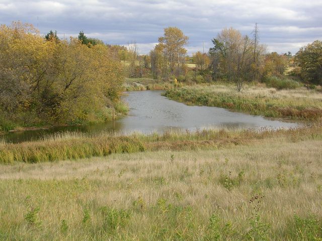
- Muskrat River
-
Muskrat River River 
Country Canada Province Ontario County Renfrew Municipalities Pembroke, Whitewater Region (township) Tributaries - left Indian River, Mud Creek, Snake River - right Buttermilk Creek Source Edmunds Lake - location Township of Whitewater Region - elevation 164 m (538 ft) - coordinates 45°33′48″N 76°43′58″W / 45.56333°N 76.73278°W Mouth Ottawa River - location Pembroke - elevation 110 m (361 ft) - coordinates 45°49′45″N 77°06′49″W / 45.82917°N 77.11361°W 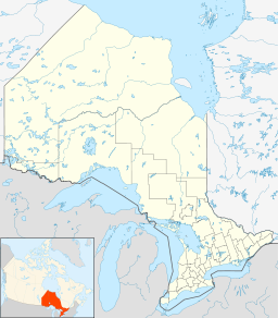
 Location of the mouth of the Muskrat River in Ontario.
The Muskrat River is a river in Renfrew County, Ontario, Canada that flows into the Ottawa River at the city of Pembroke.
Contents
Course
The river begins at Edmunds Lake, one of the Champlain Trail Lakes and near the community of Garden of Eden, and heads northwest through other Champlain Trail lakes to reach the largest, Jeffrys Lake. It continues northwest, loops under Ontario Highway 17, and takes in the right tributary Buttermilk Creek just before reaching Muskrat Lake at the community of Cobden. There, the left tributary Snake River joins. The river exits the lake near the community of Meath Hill, and continues northwest, looping west and east again under Ontario Highway 17 while taking the left tributary Mud Creek at Mud Lake, and then takes in the left tributary Indian River before reaching its mouth at the Ottawa River at Pembroke.
Economy
The river once provided hydroelectric power for Pembroke.[citation needed]
Ecology
In the fall, thousands of swallows gather at the mouth of this river before continuing their migration south.[citation needed]
Tributaries
- Indian River (left)
- Mud Creek (left)
- Snake River (left)
- Buttermilk Creek (right)
References
- "Muskrat River". Geographical Names Data Base. Natural Resources Canada. http://geonames.nrcan.gc.ca/search/unique_e.php?id=FCFRS&output=xml. Retrieved 2010-07-13.
- "Toporama - Topographic Map Sheets 31F10, 31F11, 31F14". Atlas of Canada. Natural Resources Canada. http://atlas.nrcan.gc.ca/site/english/maps/topo/map. Retrieved 2010-07-13.
Categories:- Rivers of Ontario
- Geography of Renfrew County, Ontario
- Eastern Ontario geography stubs

Wikimedia Foundation. 2010.