- Malltraeth
-
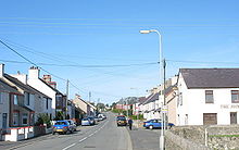 Malltraeth main street
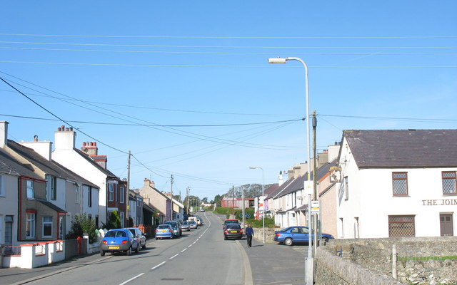
Malltraeth (origin: Mall (corrupt, blasted, desolate, + Traeth (beach)) is a small village in the southwest of Anglesey, in the area of Bodorgan. It is now at the end of a large bay, which used to extend much further inland, almost creating a second sea strait in the area (the Menai Strait broke through following the end of the ice age).
After several abortive attempts, a 1 km-long 'cob' or dyke was completed across it during the 19th century, allowing land reclamation behind it. Despite this, the land remains very wet and prone to flooding, much of it of great natural and scientific importance as a result. The former salt marsh creeks are still visible on aerial photography and evident as shallow depressions in the fields. Coal mining occurred for a time in the underlying Carboniferous rock strata and the subsidence of these workings resulted in the lakes "Llynnau Gwaith-glo".
The village has two pubs: The Royal Oak and The Joiners. It also had a village Post Office shop, but this closed as a victim of the Royal Mail's making deep cuts in local post offices. A mainline railway runs just a few hundred metres north of the town, but there is no station. The nearest stations are Bodorgan, which offers limited local journeys, along with Bangor and Holyhead, which offer more frequent access to longer distance travel to most parts of Wales, England, and Scotland
The long-established Meyrick landowning family of Bodorgan are located within the area, and are the owners of the Anglesey Racing Circuit near Aberffraw. Older still is the ancient standing stone found on the northern edge of the village.
For live weather and webcam view from Malltraeth, and links to aerial and ground photographs of the area and surroundings, please visit fotonix.co.uk
Malltraeth Marsh
The reclaimed land is called Malltraeth Marsh, through which runs the Afon Cefni, which was canalised in 1824. The marsh is a Site of Special Scientific Interest and is particularly renowned for its bird life, beautifully captured in Charles Tunnicliffe's paintings, which form the resident gallery at Oriel Ynys Môn, near Llangefni. There is an RSPB reserve in the marsh area.
References
- The Place Names of Anglesey, 2004. G J Jones & Tomos Roberts.
External links
Coordinates: 53°11′35″N 4°23′16″W / 53.19308°N 4.38775°W
Categories:- Villages in Anglesey
- Sites of Special Scientific Interest in West Gwynedd
- Royal Society for the Protection of Birds reserves in Wales

Wikimedia Foundation. 2010.