- Mount Zeil
-
Mount Zeil 
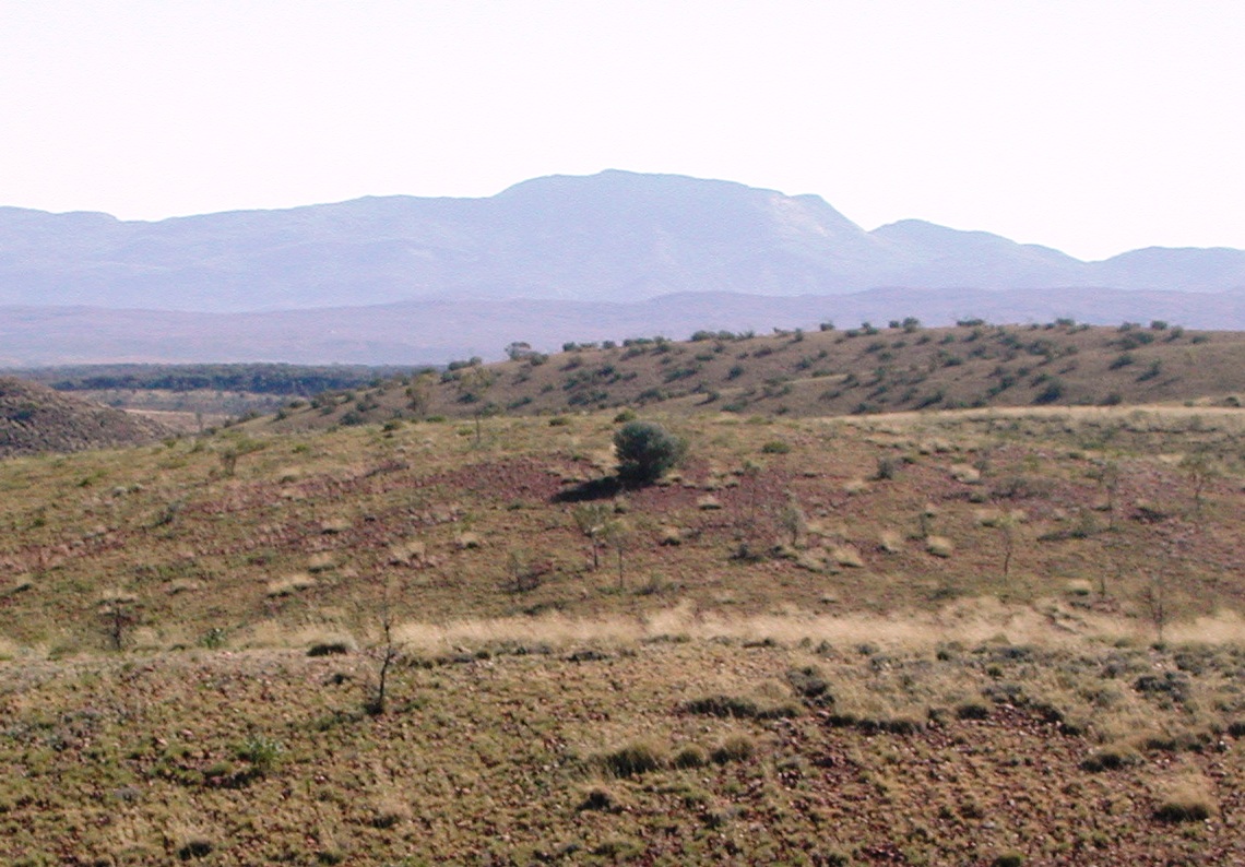
Mount Zeil viewed from the southElevation 1,531 m (5,023 ft) AHD Location Location Northern Territory, Australia Range MacDonnell Ranges Coordinates 23°22′59″S 132°22′59″E / 23.383°S 132.383°ECoordinates: 23°22′59″S 132°22′59″E / 23.383°S 132.383°E 
 Mount ZeilMount Zeil (Northern Territory)
Mount Zeil (1,531 m[1] / 5,023 ft) is a mountain situated in the western MacDonnell Ranges in Australia's Northern Territory. It is the highest peak in the Northern Territory, and the highest peak in Australia west of the Great Dividing Range (Eastern Highlands).
It is believed that Mount Zeil was named during or following Ernest Giles' 1872 expedition, probably after Count Zeil, who had recently distinguished himself with geographic explorations in Spitsbergen; a footnote in Giles' published journal implies that the naming was instigated by his benefactor Baron Ferdinand von Mueller[2].
The indigenous name for Mount Zeil in the Western Arrernte language is Urlatherrke, referring to the ayeparenye caterpillars[3].
See also
References
- ^ "Mount Zeil". Gazetteer of Australia online. Geoscience Australia, Australian Government. http://www.ga.gov.au/bin/gazd01?rec=116870.
- ^ Northern Territory Place Names Register. Retrieved 1 October 2007
- ^ hermannsburgschool.com. Retrieved 4 January 2007
External links
Categories:- Mountains of the Northern Territory
- Northern Territory geography stubs

Wikimedia Foundation. 2010.