- Via Francigena
-

The Via Francigena is an ancient road between Rome and Canterbury, passing through England, France, Switzerland and Italy. In mediaeval times it was an important road and pilgrimage route. To pilgrims headed south, it was the Via Romea; to those headed north, the Via Francigena.
Contents
The pilgrimage to Rome
The Via Francigena was the major medieval pilgrimage route to Rome from the north; even today pilgrims travel this route, but in far fewer numbers than the Way of St. James (Camino de Santiago). The route was first documented as the "Lombard Way", and was first called the "Frankish Route", the Iter Francorum, in the Itinerarium sancti Willibaldi of 725, recording the travels of Willibald, bishop of Eichstätt in Bavaria. The Via Francigena is first mentioned in the Actum Clusio, a parchment of 876 in the Abbey of San Salvatore al Monte Amiata (Tuscany).[1] At the end of the 10th century Sigeric the Serious, the Archbishop of Canterbury, used the Via Francigena to and from Rome to be consecrated by the Pope;[2] he recorded his route and his stops on the return journey,[3] but nothing in the document suggests that the route was then new. Other itineraries include those of the Icelandic traveller Nikolás Bergsson (in 1154) and Philip Augustus of France (in 1191).[4] Two somewhat differing maps of the route appear in manuscripts of Matthew Paris, Historia Anglorum, from the 13th century.
In 1985 the Italian archaeologist of roads, Giovanni Caselli, retraced the itinerary as described by Archbishop Sigeric. The Welshman Rhodri Mawr in AD 880 and his grandson Howell the Good in 945 are both known to have visited Rome towards the end of their lives, but it is not known whether they went by land or by the dangerous and pirate-infested sea route via Gibraltar. Reports of journeys before Sigeric can only be apocryphal. We may be quite certain that the Benedictine St Thierry, known as William of St Thierry, used the roads towards Rome on several occasions at the end of the 11th century. The return journey by sea was likely to be easier, thanks to the prevailing south-westerly winds, but tacking down to the Mediterranean would have made a very long journey indeed. A statement that a historical figure "died in Rome" may have been a historical falsity, but a metaphorical truth.
The Via Francigena was not a single road, like a Roman road, paved with stone blocks and provided at intervals with a change of horses for official travellers. Rather, it comprised several possible routes that changed over the centuries as trade and pilgrimage developed and waned. Depending on the time of year, political situation, and relative popularity of the shrines of saints along the route, travellers may have used any of three or four crossings of the Alps and the Apennines. The Lombards financed the maintenance and defence of the section of road through their territories as a trading route to the north from Rome, avoiding enemy-held cities such as Florence. Unlike Roman roads, the Via Francigena did not connect cities, but relied more on abbeys.
Today
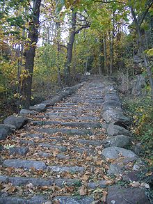
Today some pilgrims still follow in Sigeric's ancient footsteps to Rome on foot, on horseback or by bicycle. However, they are far fewer than on the Way of St. James pilgrims' route to Santiago de Compostela in Spain.[5] Consequently there is far less in the way of accommodation and other facilities for pilgrims along the route. Pilgrims in Italy often camp out rather than staying in hotels (which would prove very expensive over the weeks of the journey) though stays in pensions are a mid-priced option.
Walkers could choose to walk along the Eurovelo EV5 cycling route (named the 'Via Francigena') when this is finished. However, it varies substantially from the route given by the VF Association.
Recent developments
In 1994 the Via Francigena was designated a European Cultural Route by the Council of Europe.
In November 2005, Italian politician Romano Prodi announced that he would revitalize the Via Francigena if elected Prime Minister in the 2006 election.
On 11 August 2007 a group of 27 cyclists, including several members of Canterbury City Council, set out from Canterbury Cathedral to ride the Via Francigena to Rome in 16 days. This was a charity ride to raise money for the restoration of the cathedral and for other causes.[6]
In November 2009 the Italian government launched a project to recover the Italian leg of it. The object of the plan is to recover the entire route (disjointed parts of which are already signposted) “not only in spiritual and religious terms but also in terms of the environment, architecture, culture, history, wine and cuisine and sport.” The initiative was promoted by the Region of Tuscany, which hosts 400km of the Via, and which presented a plan detailing the low environmental impact infrastructures to be created. The plan[7] will be shared with other local authorities located along the route as an encouragement to carry out similar recovery work. Tuscany has also announced cooperation with the Opera Romana Pellegrinaggi (ORP), the Vatican’s organisation for encouriging pilgrimages
Itinerary
The 80 stages in Sigeric's itinerary averaged about 20 km a day, covering some 1700 km; they have helped to identify the route.
Having crossed the English Channel to Calais, or, following Sigeric's example to Wissant, still called Sumeran (Sombres) by Sigeric, a pilgrim bound for Rome might stay in Gisne (Guines), Teranburh Thérouanne, Bruaei (Bruay), Atherats (Arras), Reims, Châlons-sur-Marne, Bar-sur-Aube, Langres, Besançon, Pontarlier, Lausanne and Saint-Maurice, then travel over the Great St. Bernard Pass to Aosta, Ivrea, Vercelli, Pavia, Fidenza, Aulla, Luni, Lucca, San Gimignano, Poggibonsi, Siena, San Quirico, Bolsena, Viterbo and Sutri before reaching Rome. One of the best-known places on the Via Francigena is the Passum Padi in the municipality of Senna Lodigiana, where Sigeric crossed the Po River. Today a monument marks the spot.45°07′51″N 9°33′16″E / 45.13083°N 9.55444°E
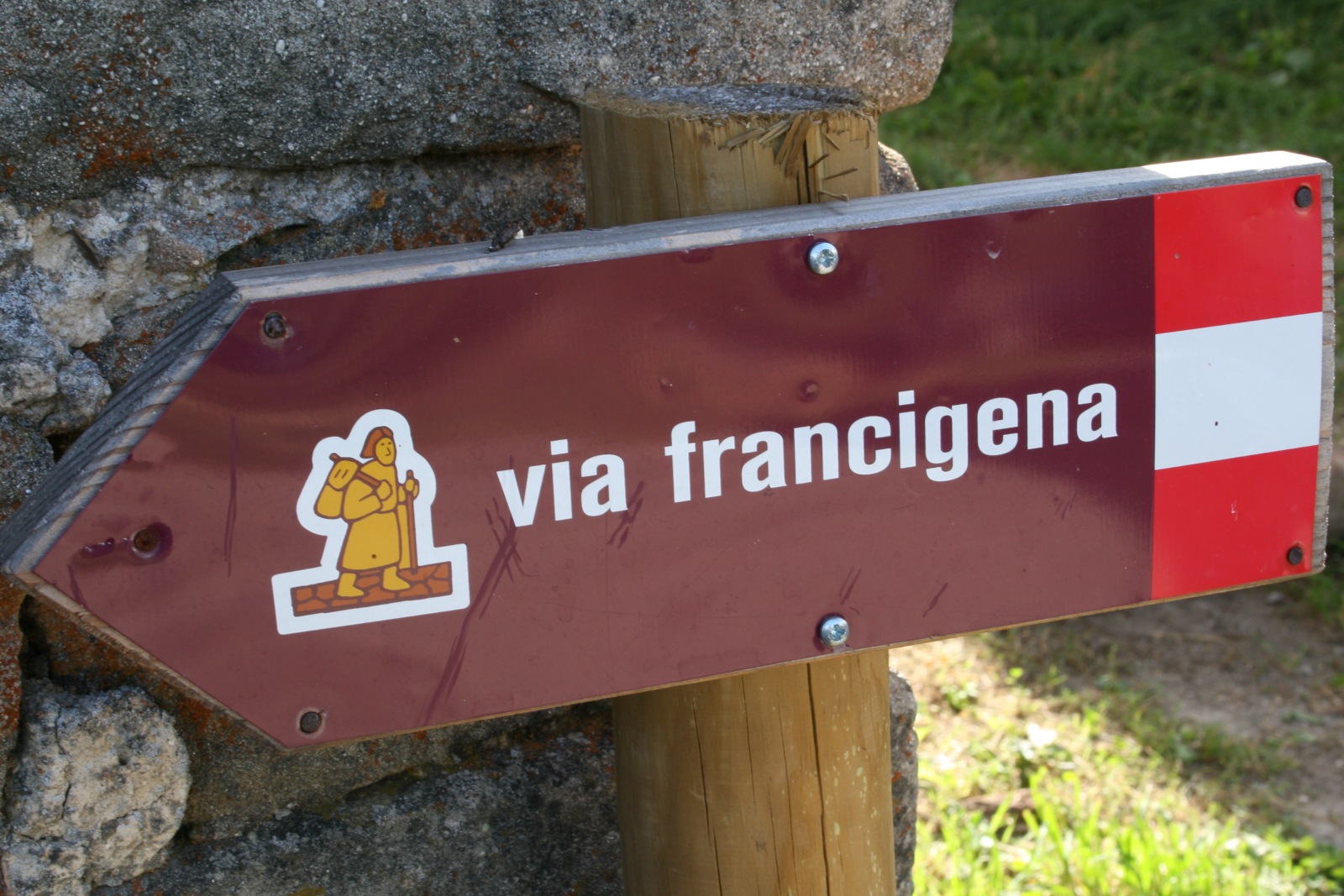
The Via Francigena Association Guide - Vademecum[8] - provides a comprehensive list.
Sources
- Kerschbaum & Gattinger, Via Francigena - DVD- Documentary of a modern pilgrimage to Rome, ISBN 3200005009, Verlag EUROVIA, Vienna 2005
- Trezzini, La Via Francigena. Vademecum dal Gran San Bernardo a Roma La Via Francigena. Vademecum dal Gran San Bernardo a Roma (Association Via Francigena) 2000
- Adelaide Trezzini-AIVF. San Pellegrino sulle Via Francigene. Ed. Gangemi Cod. ISBN 88-492-1607-6
- Adelaide Trezzini-AIVF. Topofrancigena da Canterbury a Roma (2004-2007) Ed. Ass. int. Via Francigena
- Adelaide Trezzini-AIVF. Guide-Vademecum da Canterbury a Roma. Ed.2002-03
- Adelaide Trezzini-AIVF. Dormifrancigena da Canterbury a Roma.2006 + 2007 Ed. Ass. int. Via Francigena
See also
- Way of St. James
- Valdorcia
- Ponte della Maddalena - a river crossing en route.
- Order of the Holy Sepulchre - The Order of the Holy Sepulchre was one such order of Pilgrimage providing Hospices on the Vía. (The road to Jerusalem lay through Rome, as it still does for the intrepid.)
External links
- Canterbury City Council local info on the route through the UK
- Italian Ministry of Cultural and Heritage Multiple language site of the official route in Italy including roadbooks, GPS and maps
- La Via Francigena website for Italy in Italian & English
- The Magazine of the Great Cultural Route of Europe in Italian/English
Via Francigena associations
- Association Internationale Via Francigena Active since 1997 promoting cultural and tourist awareness of the Via Francigena to Roma
- Confraternity of Pilgrims to Rome United Kingdom pilgrim association providing information on the Via Francigena
- European Association of Vie Francigene Information on the route through Italy
- Dutch Association Dutch Association of pilgrims walking or biking to Rome
- Via Francigena Association in Switzerland
- EUROVIA Austrian pilgrim Association supporting pilgrims to Rome (German/English/Italian)
Related routes
- La Francigena in Garfagnana Route between Aulla and Lucca through the Garfagnana in Italy in Italian
- La Via Degli Abati di Bobbio or Abbots Way Route from Bobbio to Pontremoli in Italy in Italian
- Via Francigena di San Francesco Route from Roma to Rieti.
- Via Francigena Appia Pedemontana Route from Roma to Formia
- Map based on OpenStreetMap
References
- ^ Via Francigena: history (PDF)
- ^ Hindley, Geoffrey A Brief History of the Anglo-Saxons: The beginnings of the English nation (New York: Carroll & Graf) 2006:294-295.
- ^ The transcript, formerly in the Cottonian Library, is now in the British Library (Cotton Tiberius B.v., folios 34 and 35; On-line map of Sigeric's route[dead link]
- ^ Nikolás is noted in F. P. Magoun, Jr., "The Italian Itinerary of Philip II (Philippe-Auguste) in the Year 1191", Speculum 17.3 (July 1942:367-376) p. 367 note 2.
- ^ [1]
- ^ [2]
- ^ 128-page PDF in Italian, with plans and pictures
- ^ La Via Francigena. Vademecum dal Gran San Bernardo a Roma
Categories:- Via Francigena
- Hiking trails in Europe
- European Cultural Routes
- Christian pilgrimages

Wikimedia Foundation. 2010.