- Major Deegan Expressway
-
"New York State Route 1B" redirects here. For the original alignment of NY 1B in downstate New York, see New York State Route 1B (1932–1941).
Major Deegan Expressway
Route information Maintained by NYSDOT Length: 8.38 mi[1] (13.49 km) Major junctions South end:  I-278 in the Bronx
 I-95 in the Bronx
North end: 
 I-87 / Thruway at Westchester County line
Highway system Main route of the Interstate Highway System
Main • Auxiliary • BusinessNumbered highways in New York
Interstate • U.S. • N.Y. (former) • Reference • County←  NY 1A
NY 1A
NY 1X  →
→The Major Deegan Expressway (officially the Major William Francis Deegan Expressway) is a north–south expressway in the New York City borough of the Bronx. It is the southernmost 8.38 miles (13.49 km) of Interstate 87 (I-87), beginning at I-278 at the interchange of the Bruckner Expressway and the Triboro Bridge in the south Bronx and ending at the Westchester County line in Yonkers, where the New York State Thruway begins. In between, the Major Deegan Expressway winds through Van Cortlandt Park, intersects with I-95 (the Cross Bronx Expressway) near the George Washington Bridge, and passes by Yankee Stadium on its eastern flank.
The expressway was opened in 1956 and became part of I-87 when that highway was assigned as part of the creation of the Interstate Highway System in 1957. Commonly known as "The Deegan", it is named for William Francis Deegan, who was a Major in the Army Corps of Engineers and a Democratic political leader in New York City.
 Looking north at the Deegan from 138th Street
History
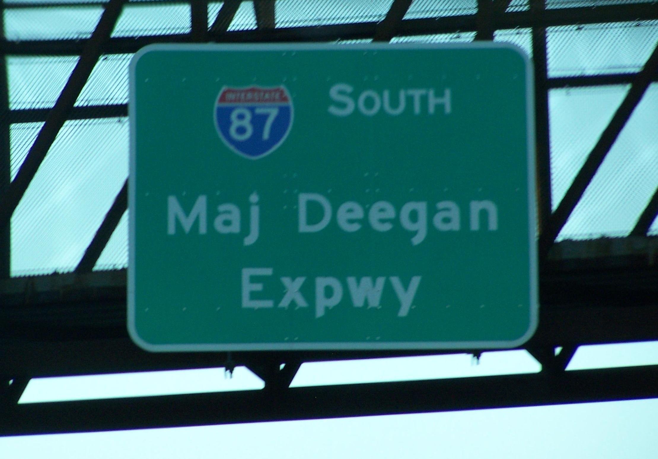
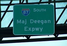 Overhead signage for the expressway
The origins of the Major Deegan Expressway date back to 1936 when the Regional Plan Association concluded that in order to relieve New York City's traffic problems, a limited-access, truck-accessible expressway should be built on the west side of the Bronx. This route would connect the brand-new Triborough Bridge to the proposed New York State Thruway in Westchester County. A 1.5 miles (2.4 km) section of the expressway from the bridge to the Grand Concourse was completed in April 1939. The highway was adorned with Whitestone-style light posts placed every 75 feet (23 m) of the 6-lane highway, each of which were 12 feet (3.7 m) in width.[2] The expressway was designated as NY 1B ca. 1941;[3][4][5] however, the designation was removed by 1947.[6]
In 1945, public works planner Robert Moses proposed extending the highway to the proposed Thruway. The plan began to come along in 1950,[2] as the lower part of Tibbets Brook—located alongside the New York and Putnam Railroad—was put underground to make room for the new highway.[citation needed] The present alignment was opened in 1956[2] and became part of I-87 when that highway was assigned as part of the creation of the Interstate Highway System in August 1957.[7]
In the wake of former New York Yankees player Joe DiMaggio's death on March 8, 1999, Governor George Pataki proposed renaming the Deegan Expressway to the "Joe DiMaggio Highway". However, New York City Mayor Rudolph Giuliani favored renaming the West Side Highway for DiMaggio instead.[8] A week later, Pataki agreed to Giuliani's proposal.[9]
Exit list
The entire route is in Bronx County (the Bronx).
Mile[1] Exit Destinations Notes 0.00 I-278 (Bruckner Expressway, Robert F. Kennedy Bridge) – New England, Long IslandSouthbound exit and northbound entrance 1 Brook Avenue No northbound exit 0.57 2 Willis Avenue – Third Avenue Bridge 1.20 3 Grand Concourse / East 138th Street – Madison Avenue Bridge 4 East 149th Street – 145th Street Bridge Northbound exit only 2.44 5 East 161st Street – Macombs Dam Bridge Yankee Stadium 6 East 153rd Street / River Avenue Yankee Stadium Northbound exit is via exit 5 3.43 7  I-95 / US 1 (Cross Bronx Expressway) – George Washington Bridge, Throgs Neck Bridge
Signed as exits 7N (north) and 7S (south) 8 West 179th Street Northbound exit and entrance 4.83 9 West Fordham Road – University Heights Bridge 5.93 10 West 230th Street 6.70 11 Van Cortlandt Park South 7.14 12 

 Henry Hudson Parkway south / Saw Mill Parkway north / Mosholu Parkway
Northbound exit and southbound entrance 7.55 13 East 233rd Street 14 McLean Avenue Northbound exit only; ramp accesses the service road in the Bronx but McLean Avenue is in Westchester County 8.38 I-87 / ThruwayContinuation into Westchester County References
- Notes
- ^ a b "2008 Traffic Data Report for New York State" (PDF). New York State Department of Transportation. June 16, 2009. p. 222. https://www.nysdot.gov/divisions/engineering/technical-services/hds-respository/NYSDOT_Traffic_Data_Report_2008.pdf. Retrieved November 17, 2009.
- ^ a b c Anderson, Steve. "Major Deegan Expressway (I-87)". NYCRoads. http://www.nycroads.com/roads/major-deegan/. Retrieved November 17, 2009.
- ^ Gulf Oil Company (1940). New York Info-Map (Map). Cartography by Rand McNally and Company.
- ^ H.M. Gousha Company (1941). New York (Manhattan and Brooklyn) (Map). Cartography by H.M. Gousha Company. http://www.nycroads.com/history/1941_metro-1/. Retrieved June 28, 2009.
- ^ H.M. Gousha Company (1941). New York (Bronx and Westchester) (Map). Cartography by H.M. Gousha Company. http://www.nycroads.com/history/1941_metro-4/. Retrieved June 28, 2009.
- ^ State of New York Department of Public Works. Official Highway Map of New York State (Map). Cartography by General Drafting (1947–48 ed.).
- ^ American Association of State Highway Officials (August 14, 1957). Official route numbering for the National System of Interstate and Defense Highways (Map).
- ^ McFadden, Robert D. (March 9, 1999). "Joe DiMaggio Highway? The Question Is Where". New York Times. http://www.nytimes.com/1999/03/09/nyregion/joe-dimaggio-highway-the-question-is-where.html. Retrieved November 17, 2009.
- ^ Levy, Clifford J. (March 17, 1999). "Pataki Agrees to DiMaggio Highway as Aides Talk of Rift". New York Times. http://www.nytimes.com/1999/03/17/nyregion/pataki-agrees-to-dimaggio-highway-as-aides-talk-of-rift.html. Retrieved November 17, 2009.
Expressways in New York City Manhattan–Bronx Bruckner (I-95/I-278) · Cross Bronx (I-95/I-295) · Major Deegan (I-87) · New England Thruway (I-95) · Sheridan (I-895) · Throgs Neck (I-695) · Trans-Manhattan (I-95)Brooklyn–Queens Staten Island Categories:- Expressways in New York City
- Robert Moses projects
- Interstate 87
- Transportation in the Bronx


Wikimedia Foundation. 2010.