- Ohio State Route 49
-
State Route 49
Route information Maintained by ODOT Length: 153.34 mi[1] (246.78 km) Existed: 1926 – present Major junctions South end:  US 35 in Dayton
 I-70 in Dayton


 OH TPK/I-80/I-90 near Columbia
North end:  M-49 near Cooney
Location Counties: Montgomery, Miami, Darke, Mercer, Van Wert, Paulding, Defiance, Williams Highway system Ohio highways
Interstates • U.S. Routes • State Routes←  SR 48
SR 48SR 51  →
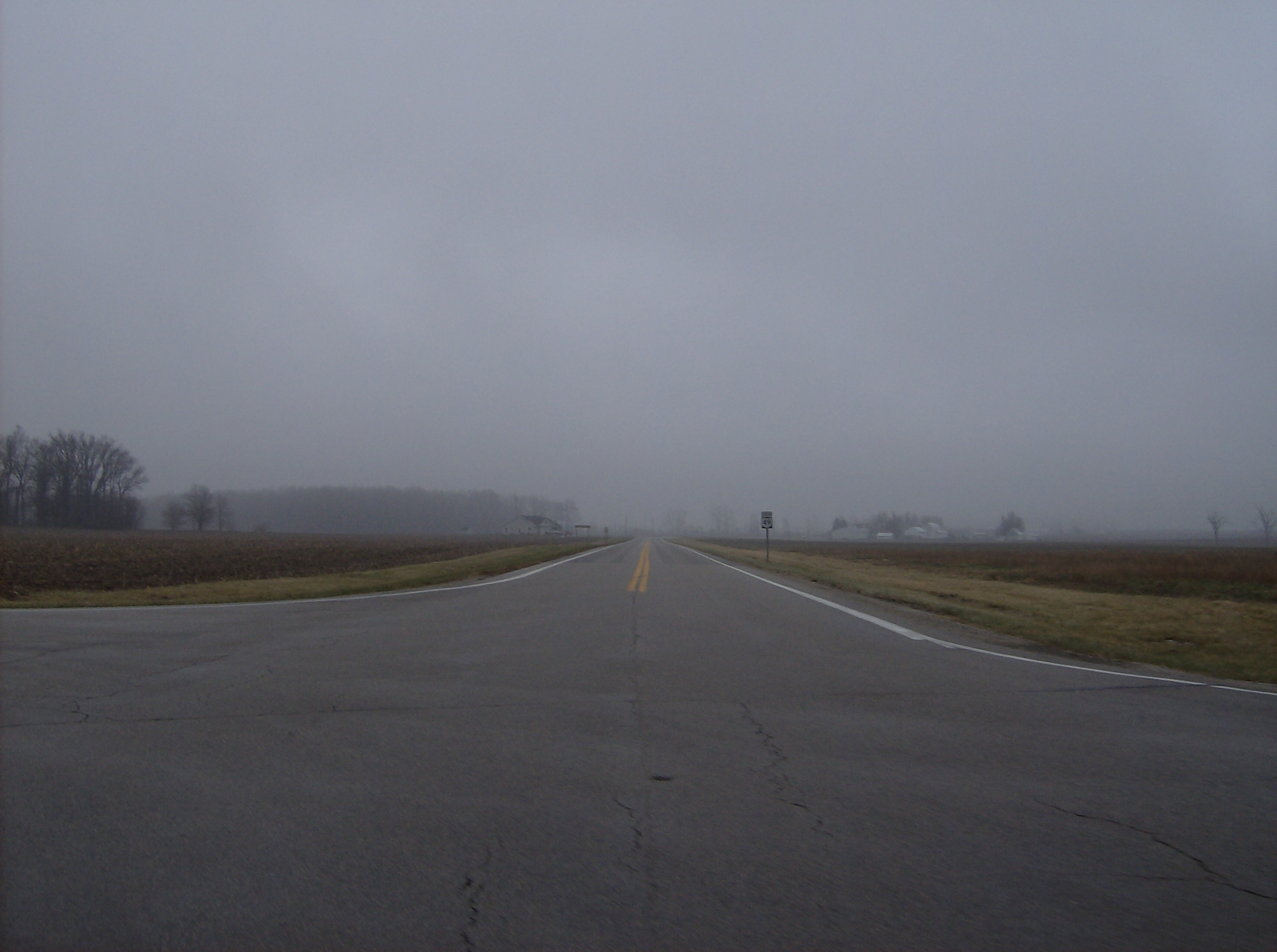
→ Along State Route 49 at its intersection with State Route 705 in northwestern Darke County
State Route 49 or SR 49 is a state highway in the western part of the U.S. state of Ohio. It begins at Drexel with US 35 and runs northwesterly to Greenville, and then runs roughly along near the western edge of the state near the Indiana state line to the Michigan state line where it meets with Michigan's M-49.
Route 49's southern terminus is west of Dayton, at the intersection of Williamson Street and 3rd Street. US 35 continues southward from this intersection as a limited-access expressway into downtown Dayton. Prior to 2000, State Route 49 followed Salem Street to a southern terminus in downtown Dayton.
Route 49 is concurrent with Interstate 70 for 1.5 miles between Dayton and Greenville.
Contents
Route description
History
Major intersections
References
- ^ Mileages retrieved from Technical Services Straight Line Diagrams unless otherwise noted.
External links
Categories:- State highways in Ohio
- Transportation in Montgomery County, Ohio
- Transportation in Miami County, Ohio
- Transportation in Darke County, Ohio
- Transportation in Mercer County, Ohio
- Transportation in Van Wert County, Ohio
- Transportation in Paulding County, Ohio
- Transportation in Defiance County, Ohio
- Transportation in Williams County, Ohio

Wikimedia Foundation. 2010.