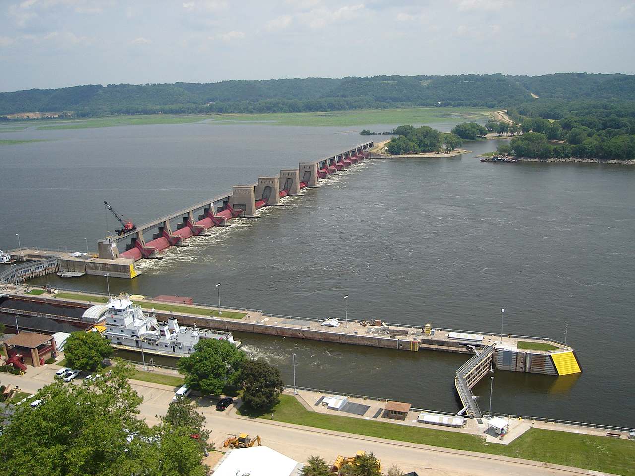
Lock and Dam No. 1 — Ford Lock and Dam. Location Minneapolis Saint Paul, Minnesota Coordinates … Wikipedia
Lock and Dam No. 19 — Infobox Dam dam name= caption=Mississippi River Lock and Dam number 19 official name= crosses= Upper Mississippi River reservoir=Pool 19 / Lake Cooper locale=Keokuk, Iowa Hamilton, Illinois maint= United States Army Corps of Engineers length=… … Wikipedia
Lock and Dam No. 15 — Infobox Dam dam name= caption=Lock and Dam No. 15 on the Mississippi River. View is from the Illinois side of the river looking across to Davenport, Iowa. official name= crosses= Upper Mississippi River reservoir=Pool 15 locale=Rock Island,… … Wikipedia
Lock and Dam No. 2 — Infobox Dam dam name= caption=Mississippi River Lock and Dam number 2. official name= crosses= Upper Mississippi River reservoir=Pool 2 locale=Hastings, Minnesota maint= United States Army Corps of Engineers length= convert|722|ft|m|1 (movable… … Wikipedia
Lock and Dam No. 24 — Infobox Dam dam name= caption=Mississippi River Lock and Dam number 24 official name= crosses= Upper Mississippi River reservoir=Pool 24 locale=Clarksville, Missouri maint= United States Army Corps of Engineers length= convert|1340|ft|m|1 height … Wikipedia
Lock and Dam No. 13 — Infobox Dam dam name= caption=Lock and Dam No. 13 on the Mississippi River. View is upriver to the north. official name= crosses= Upper Mississippi River reservoir=Pool 13 locale=Clinton, Iowa maint= United States Army Corps of Engineers length=… … Wikipedia
Lock and Dam No. 14 — Infobox Dam dam name= caption=Lock and Dam No. 14 on the Mississippi River. View is from the Iowa side looking across the river to Illinois. official name= crosses= Upper Mississippi River reservoir=Pool 14 locale=Le Claire, Iowa maint= United… … Wikipedia
Lock and Dam No. 10 — Infobox Dam dam name= caption=Mississippi River Lock and Dam number 10. official name= crosses= Upper Mississippi River reservoir=Pool 10 locale=Guttenberg, Iowa maint= United States Army Corps of Engineers length= convert|5447|ft|m|1 height=… … Wikipedia
Lock and Dam No. 17 — Infobox Dam dam name= caption=Mississippi River Lock and Dam number 17 official name= crosses= Upper Mississippi River reservoir=Pool 17 locale=New Boston, Illinois maint= United States Army Corps of Engineers length= convert|1121|ft|m|1 height=… … Wikipedia
Lock and Dam No. 21 — Infobox Dam dam name= caption=Mississippi River Lock and Dam number 21 official name= crosses= Upper Mississippi River reservoir=Pool 21 locale= maint= United States Army Corps of Engineers length= convert|1265|ft|m|1 (movable portion) height=… … Wikipedia
Lock and Dam No. 22 — Infobox Dam dam name= caption=Mississippi River Lock and Dam number 22 official name= crosses= Upper Mississippi River reservoir=Pool 22 locale=Saverton, Missouri maint= United States Army Corps of Engineers length= convert|1224|ft|m|1 (movable… … Wikipedia

