- Lock and Dam No. 14
Infobox_Dam
dam_name=
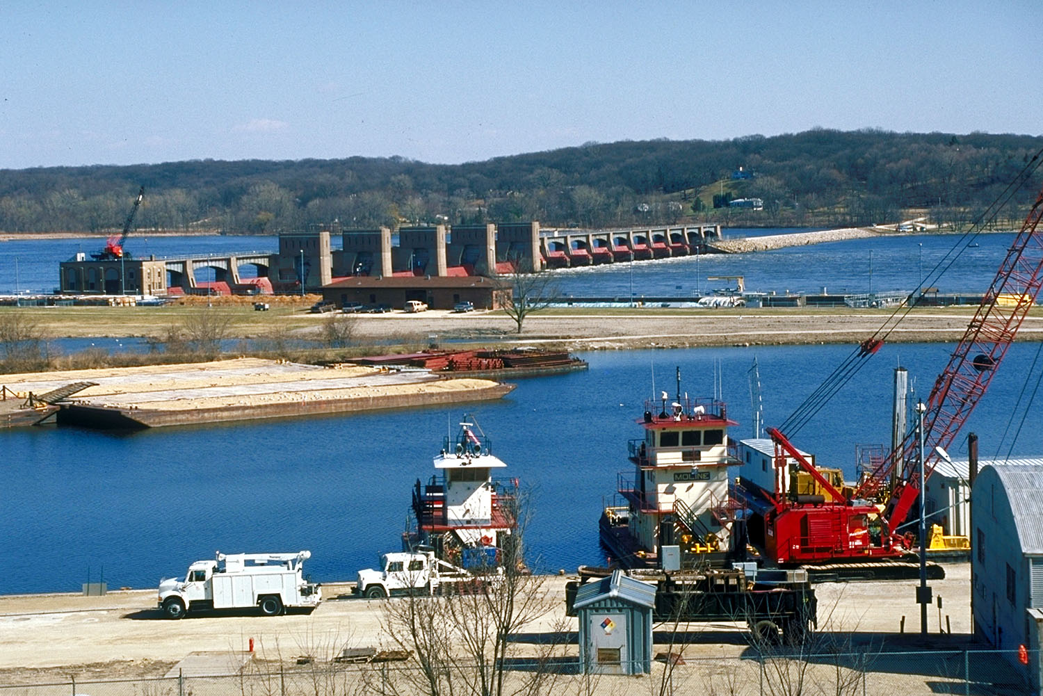
caption=Lock and Dam No. 14 on the Mississippi River. View is from the Iowa side looking across the river to Illinois.
official_name=
crosses=Upper Mississippi River
reservoir=Pool 14
locale=Le Claire, Iowa
maint=United States Army Corps of Engineers
length= convert|2700|ft|m|1
height=
width=
began=1921(6 ft project)
open=May 13 ,1938 (9 ft project)
closed=
reservoir_capacity=
reservoir_catchment=
reservoir_surface=
coordinates= Coord|41|34|21.75|N|90|23|54.02|W|type:city|display=inline
extra=Lock and Dam No. 14 is a lock and
dam located nearLe Claire, Iowa on theUpper Mississippi River aboveDavenport, Iowa andMoline, Illinois . The movable portion of the dam is convert|1343|ft|m|1 long and consists of 13tainter gate s and 4 roller gates. Connected to it is a convert|1127|ft|m|1 long non-submersible rock fill dike which extends to the Illinois side. The main lock is convert|110|ft|m|1 wide by convert|600|ft|m|1 long. The site on theNational Register of Historic Places as the Lock and Dam No. 14 Historic District (#04000174) listed in 2004 consisting of convert|3043|acre|km2|1, 1 building, 6 structures, and 2 objects. It was completed in two phases, the first as part of the six foot channel project from 1921 to 1924, which included a lock and canal bypassing a hazardous rapids. The second phase was part of the nine foot channel project from 1935 to 1939 and included the main dam and the current main lock.External links
* [http://hdl.loc.gov/loc.pnp/hhh.ia0183 Survey number HAER IA-25 - Mississippi River 9-Foot Channel, Lock & Dam No. 14, Upper Mississippi River, Le Claire vicinity, Scott County, IA]
Wikimedia Foundation. 2010.
