- Mahasamund district
-
Mahasamund district
महासमुन्द जिला
Location of Mahasamund district in ChhatisgarhState Chhatisgarh,  India
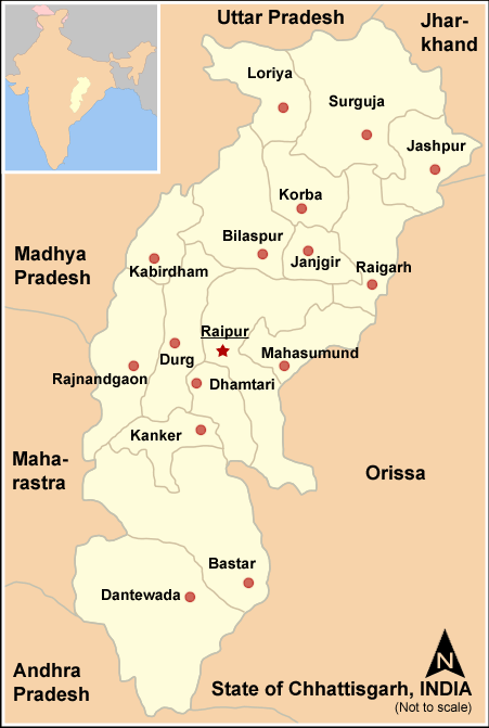
IndiaHeadquarters Mahasamund Area 3,902 km2 (1,507 sq mi) Population 860,176 (2001) Literacy 67.64 Official website Mahasamund District is an administrative district in Chhattisgarh state in eastern India. The city of Mahasamund is the district headquarters.
Contents
Geography
Mahasamund District covers an area of 3902.39 km² in the central eastern part of the Chhattisgarh. The district lies between 20°47' to 21°31'30" latitude and 82°00' and 83°15'45" longitude, surrounded by Raigarh District and Raipur District of Chhattisgarh and Nuapara District and Bargarh District of Orissa.
Granite rocks can be found in the Bagbahra, Basna and Pithora region. Rocks are predominantly Limestone of the Chhattisgarh group contemporary to the Cuddapah group of the Upper Pre-Cambrian age, consisting of limestone layers, shale, sandstone, or quartzite. Neo-granite, dolerite, and quartz in intrusive forms are also found in the district. Hence there is a great scope of intense mining activity.
Demographics
According to the 2011 census Mahasamund district has a population of 1,032,275,[1] roughly equal to the nation of Cyprus[2] or the US state of Rhode Island.[3] This gives it a ranking of 438rd in India (out of a total of 640).[1] The district has a population density of 216 inhabitants per square kilometre (560 /sq mi) .[1] Its population growth rate over the decade 2001-2011 was 20 %.[1] Mahasamund has a sex ratio of 1018 females for every 1000 males,[1] and a literacy rate of 71.54 %.[1]
The district has a tribal population of 28.9%. The tribes living in the district are Bhujia, Binjhwar, Dhanwar, Halba, Kamar, Kanwar, Kharai, Munda, Pardhi, Bahalia, Saur, Saharia, Sonar, Sanwara and Kharwar.[4]
Major languages spoken in this region are Chhattisgarhi, Hindi and Oriya.
See also
- Tourism in Chhattisgarh
Notes
- ^ a b c d e f "District Census 2011". Census2011.co.in. 2011. http://www.census2011.co.in/district.php. Retrieved 2011-09-30.
- ^ US Directorate of Intelligence. "Country Comparison:Population". https://www.cia.gov/library/publications/the-world-factbook/rankorder/2119rank.html. Retrieved 2011-10-01. "Cyprus 1,120,489 July 2011 est."
- ^ "2010 Resident Population Data". U. S. Census Bureau. http://2010.census.gov/2010census/data/apportionment-pop-text.php. Retrieved 2011-09-30. "Rhode Island 1,052,567"
- ^ "Demographic Condition". http://mahasamund.gov.in/adm.html. Retrieved 2006-09-22.
External links

Raigarh district Raipur district 
Bargarh district, Orissa  Mahasamund district

Nuapada district, Orissa Cities and towns in Mahasamund district Mahasamund Bagbahara · Basna · Mahasamund · Pithora · Saraipali
Cities and towns
in other districtsDistricts of Chhattisgarh Capital: Raipur Categories:- Districts of Chhattisgarh
- Mahasamund district
- Chhattisgarh geography stubs
Wikimedia Foundation. 2010.