- Walden, Ontario
-
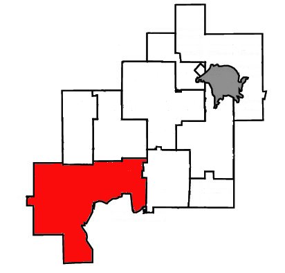
Walden — Community — Location of Walden within Greater Sudbury.
Country Canada 
Province Ontario 
City Greater Sudbury Ward 2 Incorporated January 1, 1973 Dissolved December 31, 2000 Government – City Councillor Jacques Barbeau – Governing Body Greater Sudbury City Council – MP Glenn Thibeault (NDP) – MPP France Gélinas (NDP) Population (1996)Statistics Canada – Total 10,292 Time zone EST (UTC−5) – Summer (DST) EDT (UTC−4) Postal Code FSA P0M, P3Y Area code(s) 705 Website Walden Community Action Network Walden (Canada 1996 Census population 10,292) was a town in the Canadian province of Ontario, existing from 1973 to 2000. Created as part of the Regional Municipality of Sudbury when regional government was introduced, the town was dissolved when the city of Greater Sudbury was incorporated on January 1, 2001. The name Walden continues to be informally used to designate the area.
Walden now constitutes most of Ward 2 on Greater Sudbury City Council, and is represented by councillor Jacques Barbeau. The entirety of Walden was also redistricted into the federal Sudbury electoral district as of the 2004 election, although it remains in the provincial constituency of Nickel Belt.
Contents
History
The town was created by amalgamating the township municipalities of Waters and Drury, Dennison & Graham with the unincorporated geographic townships of Lorne, Louise and Dieppe and parts of the unincorporated townships of Hyman, Trill, Fairbank, Creighton, Snider and Eden. The name "Walden" was chosen as an acronym of Waters, Lively and Dennison. Other names were suggested, but the final selection process had narrowed the naming options to Walden or Makada, an Ojibwe name for the town's Black Lake (makade in contemporary spelling).
Tom Davies, who later became chair of the Regional Municipality of Sudbury, was the first mayor of Walden as a town. Later mayors included Charles White, Terry Kett, Alex Fex and Dick Johnstone. Following Davies' retirement as chair of the regional municipality in 1997, Sudbury's city hall was renamed Tom Davies Square in his honour.
Prior to the municipal amalgamation, Walden was the largest town by land area in Canada.
Communities
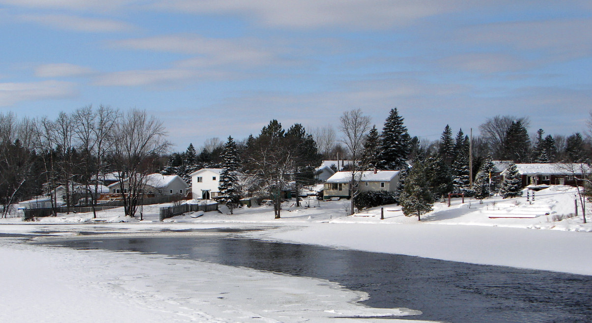
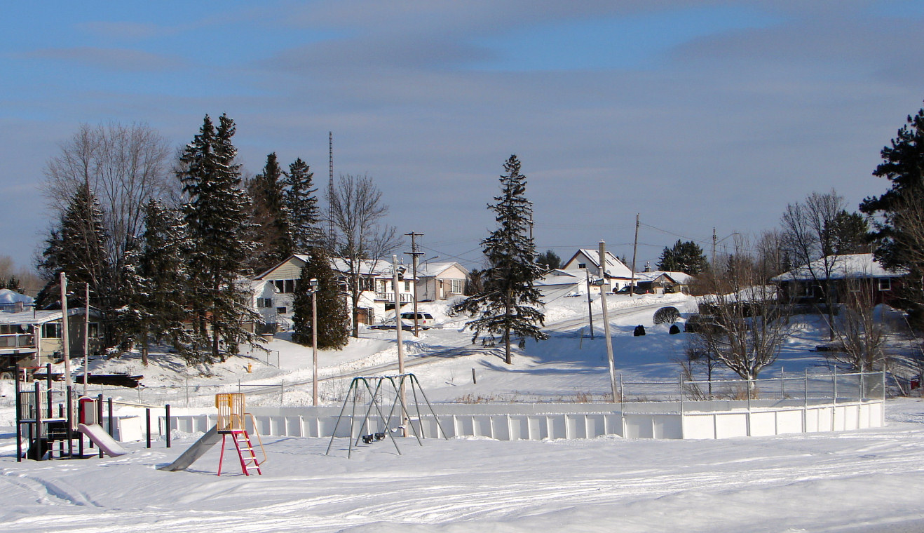
Lively
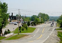 Lively
The administrative and commercial centre of Walden, Lively was established in the 1950s as a company townsite for employees of INCO's Creighton Mine facilities. It was named for an early settler, Charles Lively. Prior to the community's establishment, a few family farms were located in the area. The most notable of these, the Anderson Farm, is now a community museum. Lively's postal delivery and telephone exchange also include the Mikkola subdivision, located at the eastern terminus of Highway 17's freeway segment, and the Waters area.
From the intersection of Municipal Roads 24 and 55, Lively refers to the area extending north along MR 24, Mikkola refers to the area extending eastward along MR 55 toward the Highway 17 interchange, and Waters refers to the area extending westward along MR 55 toward Naughton.
Lively was the first area hit by the Sudbury tornado on August 20, 1970.
Lively is also home to the Walden area's branch of the Greater Sudbury Public Library.
Naughton
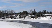 Naughton on Simon Lake
Originally established as McNaughtonville, Naughton is the birthplace of Boston Bruins legend Art Ross. In 1947, Ross donated the NHL trophy bearing his name awarded to the player scoring the most points during the season. Ross was also inducted into the Hockey Hall of Fame in 1945.
Naughton is also home to historical plaques commemorating Salter's Meridian, a survey line which resulted in the first known evidence of the Sudbury area's massive mineral deposits, and the Hudson's Bay Company's historic Whitefish Lake Trading Post.
Whitefish
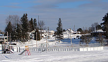 Whitefish
Whitefish is located approximately 14 kilometres west of Lively, near the western terminus of the Highway 17 freeway route. Whitefish's postal delivery and telephone exchange also include the community of Den-Lou and the Lake Panache area. Currently, the Ontario Ministry of Transportation is undergoing discussion in regards to extending the freeway through Den-Lou.
Beaver Lake
The name "Beaver Lake" refers, generally, to the westernmost end of the former Town of Walden, along Highway 17 in the geographic township of Lorne, west of Whitefish. Like many communities in Northern Ontario, the modern history of Beaver Lake started with the building of the Canadian Pacific Railway through the area in the late 1880s. With the discovery of nickel deposits bringing jobs and settlers to the Sudbury area, Finnish immigrants in particular settled in the Beaver Lake area, south of the CPR line between Sudbury and Sault Ste. Marie. Many roads in the area have Finnish names to this day.
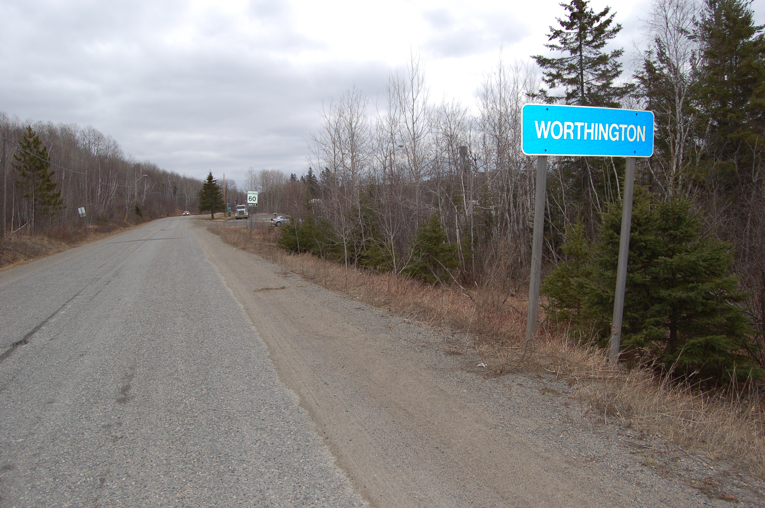
Worthington
 Worthington
Incorporated as a mining community in 1892, the original Worthington existed until October 4, 1927. At 5:50 a.m. that morning, a ground fault gave way, causing the mine and part of the town to collapse into a large chasm. Nobody died in the incident, however, as a mine foreman evacuated the town the previous evening after noticing abnormal rock shifts in the mine.[1]
With the mine no longer operational, the residents of Worthington moved to other mining communities in the area. However, the name Worthington was later reapplied to a newer townsite nearby. The original townsite is now under water.
Ghost towns
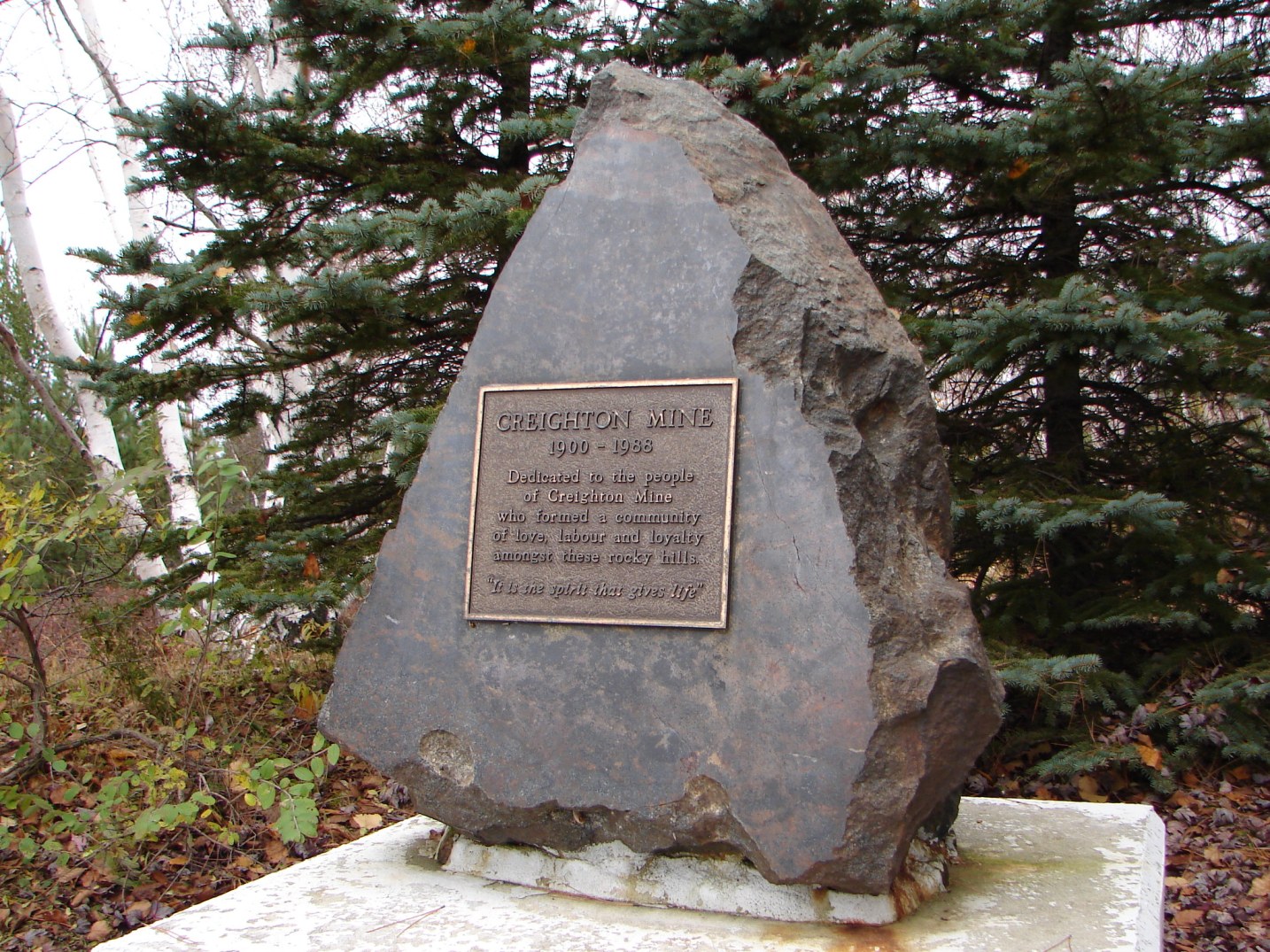
Creighton Mine
 Marker stone at former site of Creighton Mine.
Creighton Mine, also known as simply Creighton, is a ghost town located near the intersection of Municipal Road 24 and Highway 144. The community, established in 1900 as an Inco company town, took its name from the geographic township in which it is located, which was named by the province of Ontario in the 1880s for MPP David Creighton.
In 1986, the town was closed down. INCO deemed the cost of service upgrades (water, sewer, etc.) to be prohibitive, and all of the town's homes and businesses were torn down or moved to Lively. The historic paymaster's cabin from Creighton was moved to the Anderson Farm Museum. A few streets, sidewalks and building foundations can still be found in the area.[2] A monument, shown at right, was also placed in the community.
Creighton Mine is the largest Ontario community to have become a ghost town, although the mine itself is still operational.[3] The mine is also the site of the Sudbury Neutrino Observatory.
High Falls
High Falls is a ghost town located near the junction of the Spanish River with Agnew Lake, at the westernmost boundary of the city.
The town was incorporated in 1904, when a hydroelectric dam and power plant were built on the Spanish River. This power plant, owned and operated by a subsidiary of Inco, supplied electric power to many of the area's mining towns, and is still operational today.
The town was closely connected to the nearby community of Turbine. However, in the 1960s, many families began to move away from the community for economic reasons, and by 1975 the community was virtually abandoned. Homes were demolished or relocated, and by the mid-1980s the power plant was the only remaining vestige of the community.[4]
Victoria Mines
Prospected heavily in the 1880s and 1890s, a mine was established by the Mond Nickel Company in 1900. A smelter was also built on the site to the north of the Canadian Pacific Railway line, and a company town that housed anywhere from 300 to 600 people during its lifetime sprang up rapidly.
In the early 1910s, Mond Nickel moved its operations to the fledgling community of Coniston, east of Sudbury. Many of the buildings of Victoria Mines were moved to Coniston via the CP Rail line, including a Presbyterian church that remains standing. Only two buildings remain intact on the site, the town mostly left abandoned after the mine's closure in 1913. During its lifetime, the mine produced almost 620,000 tons of ore.
Victoria Mines is the birthplace of Hockey Hall of Famer, Hector "Toe" Blake.
Education
Lively is home to the Walden area's only public high school, Lively District Secondary School. Catholic high school students in Walden are bused into schools in the city's urban core, primarily to St. Benedict Catholic Secondary School for anglophones and Collège Notre-Dame for francophones.
Anglophone elementary school students are served by Walden Public School in Lively, R. H. Murray Public School in Whitefish, and the Catholic St. James Elementary School in Lively. A second Catholic elementary school, Our Lady of Fatima in Naughton, closed in 2006 after renovations at St. James meant that the latter school could now accommodate virtually all of Walden's demand for Catholic primary education. The Our Lady of Fatima building was subsequently acquired by Penguin Research Technologies, a mining technology firm conducting research and development in the field of telerobotics.[5]
George Vanier Public School in Lively and Jessie Hamilton Public School closed in 2009, and students attending both schools were split between the new Walden Public School and Lively District Secondary School.
Francophone elementary students attend École Saint-Paul in Lively.
Media
Walden formerly had a weekly community newspaper, the Walden Observer, which is no longer in production. Walden is otherwise served by citywide media, although its proximity to the North Shore region means that residents of Whitefish, Beaver Lake and Worthington also have access to several radio stations, including CJJM-FM in Espanola, CFRM-FM in Little Current and CKNR-FM in Elliot Lake, whose signals do not reach the main urban core of Sudbury, as well as Espanola-area rebroadcasters of Sudbury's CBCS-FM and CBON-FM.
Notable people
- France Gélinas, the current Member of Provincial Parliament for Nickel Belt, is a resident of Naughton.
- Toe Blake was inducted into the Hockey Hall of Fame as a coach and player.
- Former Canadian federal court judge and MP for the riding of Sarnia, Bud Cullen, was born in Creighton Mine on April 20, 1927.
References
External links
Neighbourhoods in Greater Sudbury, Ontario Old City of Sudbury • Capreol • Nickel Centre • Onaping Falls • Rayside-Balfour • Valley East • Walden • WanupCategories:- Neighbourhoods in Greater Sudbury
- Former municipalities in Ontario
- Populated places established in 1973
- Former towns in Canada
- Hudson's Bay Company trading posts
- Populated places disestablished in 2000

Wikimedia Foundation. 2010.