- Washermanpet
-
Washermenpet — suburb — Coordinates 13°06′47″N 80°17′19″E / 13.1131°N 80.2886°ECoordinates: 13°06′47″N 80°17′19″E / 13.1131°N 80.2886°E Country India State Tamil Nadu Planning Agency CMDA Time zone IST (UTC+05:30) Area
• 14 metres (46 ft)
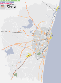
Washermanpet (Tamil: வண்ணாரபேட்டை) is located in northern part of Chennai, a city situated on the east coast of the southern India. The name comes from the fact that it used to be the washermen's enclave in Chennai, where many of the city's dhobi ghats used to be located. Prior to the development of T.Nagar and Purasawalkam, Washermanpet acted as the textile business hub of Chennai. It is also famous for jewellery shops and match box industries.
References
External links
- North Chennai's evolution: From squalor to high-rises, The Times of India
Washermanpet Next station east/north-east:
RoyapuramWest South Line, Chennai Suburban Next station west/west-south:
Vyasarpadi JeevaStop number: 3 KM from starting: 0 Stations of West South Line of Chennai Suburban Railway Chennai Beach · Royapuram · Washermanpet · Vyasarpadi Jeeva · Perambur · Perambur Carriage Works · Perambur Loco Works · Villivakkam · Korattur · Pattaravakkam · Ambattur · Tirumullaivayil · Annanur · Avadi · Hindu College · Pattabiram · Thiruninravur · Veppampattu · Sevvapet Road · Puttlur · Tiruvallur · Egattur · Kadambattur · Senjipanambakkam · Manavur · Thiruvalangadu · Mosur · Puliyamangalam · Arakkonam · Melpakam · Chitteri · Anavardhikhanpettai · Mahendravady · Sholinghur · Thalangai · Marudhalam · Walajah Road · Mukundarayapuram · Thiruvalam · Seevur · Katpadi · Vellore · Vellore Cantonment · Kaniyambadi · Kannamangalam · Sedarampattu · Arani, Tamil Nadu · Polur · Agaram Sibbandi · Turijapuram · Tiruvannamalai · Tandarai · Andampallam · Adhichchanur · Tirukkovilur · Mugaiyur · Ayandur · Mambalapattu · Teli, Tamil Nadu · Venkatesapuram · Villupuram Categories:- Chennai suburbs
- Chennai geography stubs
Wikimedia Foundation. 2010.


