- Margery Hill
-
Margery Hill 
Margery Hill cairnElevation 546 m (1,791 ft) Prominence c. 51 m Location Location South Yorkshire,  England
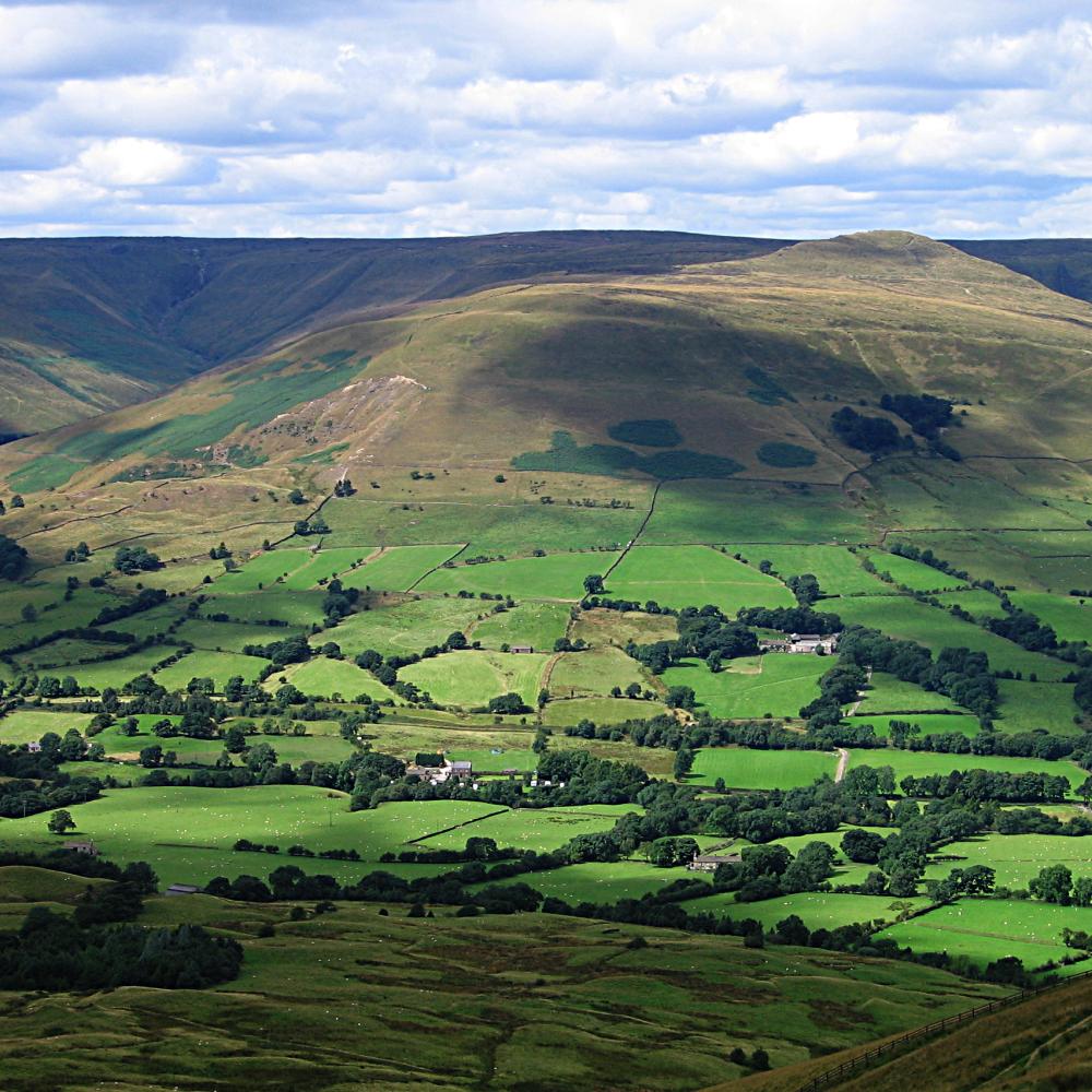
Range Peak District Coordinates 53°27′27″N 1°43′00″W / 53.4576°N 1.7167°WCoordinates: 53°27′27″N 1°43′00″W / 53.4576°N 1.7167°W OS grid SK189957 Margery Hill (pronounced /ˈmɑrɡəri/) is a 546-metre (1,791 ft) hill on the Howden Moors in South Yorkshire, England. It lies towards the northern boundary of the Peak District National Park, between Langsett Reservoir to the northeast and Howden Reservoir to the southwest. The area is managed by the National Trust as part of their High Peak Estate.
The summit cairn has recently been shown to be a Bronze Age burial mound, after the peat in the area was dated at a uniform age of around 3,500 years, indicating a constructed rather than natural origin.[1] The area has been designated a Scheduled Ancient Monument by English Heritage.
Margery Hill is the highest marked point within the boundaries of Sheffield. The land rises slightly to 548 metres (1,798 ft) about 1.5 kilometres (0.9 mi) to the south, near High Stones.
References
- ^ High Peak Estate, The National Trust. 'Margery Hill Cairn' (notice)
External links
Marilyns 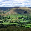
Other peaks Abney Low · Aleck Low · Allman Well Hill · Alport Height · Axe Edge Moor · Back Tor · Beeley Moor · Big Moor · Blake Low · Blakelow Hill · Bleaklow · Bole Hill (Peak District) · Bolehill (Peak District) · Britland Edge Hill · Brittain's Plantation · Brown Knoll · Bunster Hill · Burton Bole End · Calver Peak · Chrome Hill · Crook Hill · Dead Edge End · Derwent Edge · Durham Edge · Eccles Pike · Eldon Hill · Emlin · Eyam Moor - Sir William Hill · Fin Cop · Gautries Hill · Gibraltar Rocks · Grindslow Knoll · Harborough Rocks · Hare Edge Hill · Hartcliff Hill · Haven Hill · Hawks Low · The Height · Heights of Abraham · Higger Tor · High Field · High Low · High Neb · High Wheeldon · Higher Shelf Stones · Houndkirk Hill · Lees Moor · Longstone Moor · Lord's Seat · Lose Hill · Lost Lad · Low Moor · Mam Tor · Margery Hill · Merryton Low · Middleton Moor · Minninglow Hill · Nelson's Monument · Parkhouse Hill · Pike Low · Pikenaze Hill · The Roaches · Rock Hall (Peak District) · Shutlingsloe · Slipper Low · Snailsden Pike End · Snels Low · Stanage Edge · Stanton Moor · Tegg's Nose · Thorpe Cloud · Totley Moor · Ughill Height · Wardlow Hay Cop · West Nab · Wetton Hill · Whaley Moor · Wibben Hill · Win Hill · Wire Stone · Wolfscote HillList of peaks of the Peak District Categories:- Mountains and hills of the Peak District
- Mountains and hills of Yorkshire
- National Trust properties in South Yorkshire
- Hills and edges of South Yorkshire
- Sheffield
- Scheduled Ancient Monuments in South Yorkshire
- Archaeological sites in South Yorkshire
- South Yorkshire geography stubs

Wikimedia Foundation. 2010.