- M-36 (Michigan highway)
-
This article is about the state highway in Michigan; for other uses, see M36 (disambiguation)
M-36
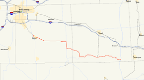
Route information Maintained by MDOT Length: 44.05 mi[2] (70.89 km) Existed: 1930[1] – present Major junctions West end:  US 127 at Mason
 M-52 near Millville
 M-106 at Gregory
East end:  US 23 near Whitmore Lake
Highway system Michigan State Trunkline Highway System
Interstate • US • State←  M-35
M-35M-37  →
→M-36 is a state trunkline route in the Lower Peninsula of the US state of Michigan that runs in a west–east direction from Mason to Whitmore Lake. The route connects US 127 south of Lansing and US 23 north of Ann Arbor
Contents
Route description
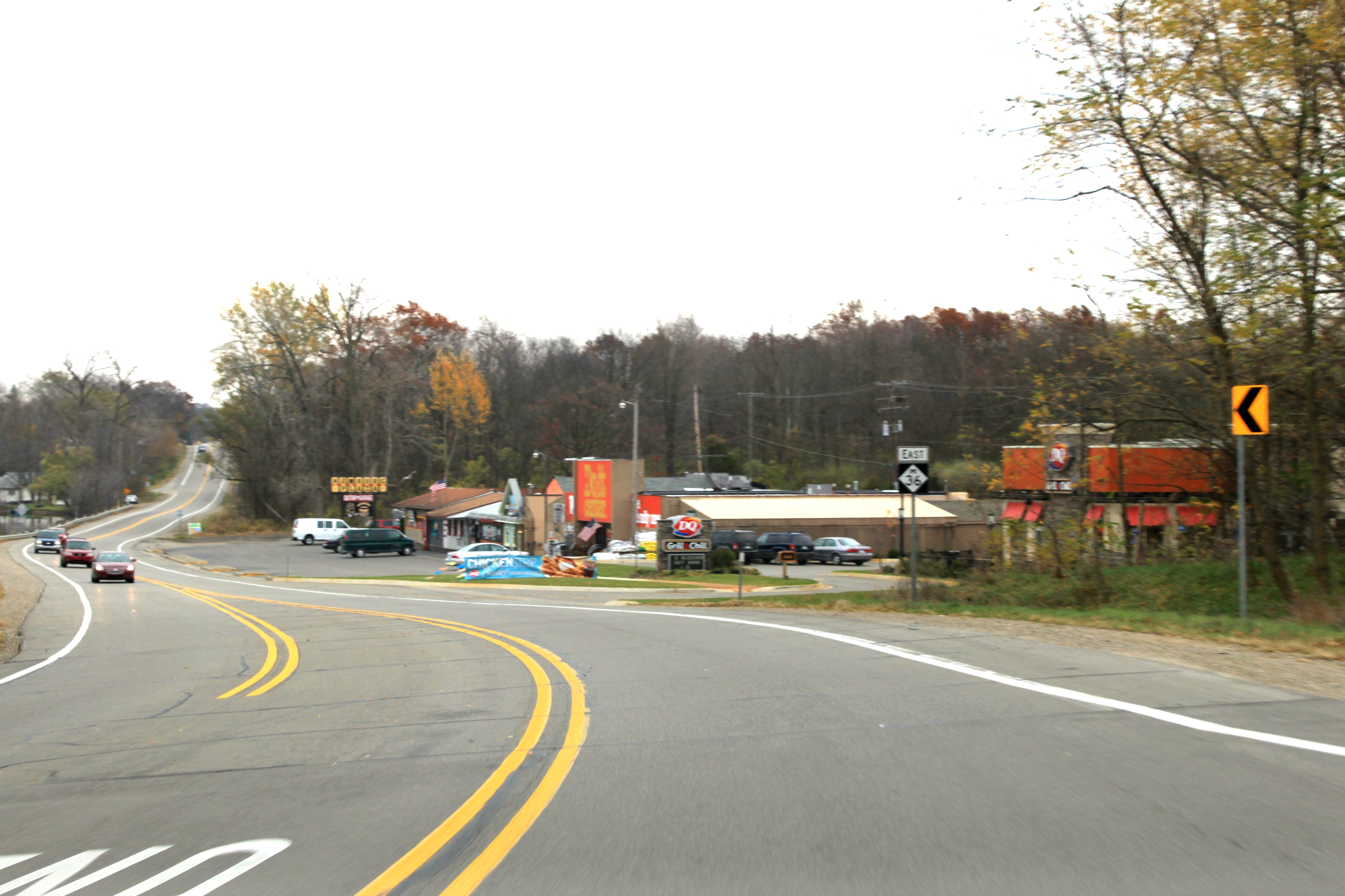
 M-36, Hamburg, facing east
M-36 starts at an interchange with US 127. M-36 follows Cedar Street southeast to Ash Street in Mason. Outside of Mason, Ash Street becomes Dansville Road, passing through Dansville where it is called Mason Street. Just south of White Oak Township Park in White Oak Township, M-36 turns south along M-52 through Millville. At Topping Road, M-36 turns east again north of Lowe Lake. Crossing into Livingston County where it becomes Plainfield Road, it then passes the Plainfield Cemetery and turns south to Gregory. As Main Street in Gregory, M-36 turns back east skirting the northern edge of Pinckney State Recreation Area and the south edge of the Timber Trace Golf Club. As Main Street in Pinckney, M-36 passes through the center of town. East of Pinckney, M-36 passes between Rush Lake and Bass Lake in the Pettysville area. M-36 ends as 9 Mile Road at exit 54 on US 23 in Whitmore Lake. This section of 9 Mile Road is one mile (1.6 km) north of the westernmost section of 8 Mile Road.
History
Original designation
In 1920, M-36 was routed along what is now M-24 between Pontiac and Burnside. This routing was truncated in 1928 to run between Lapeer and Imlay City. The rest became M-24.
Current designation
M-36 was designated along the current routing in 1930 over a former M-49 designation. Portions of M-49 not used in the new M-36 were given to M-92 or M-106. M-36 was extended westerly in 1946 over a former portion of US 127 to the new bypass around Mason. This former segment of US 127 was designated as BUS US 127/M-36 until the BUS US 127 designation was removed 1962. M-36 was realigned in the Pettysville area of Livingston County on September 29, 1967. The M-52 concurrency was formed in 1969 when M-52 was extended northerly to Webberville.
Major intersections
County Location Mile[2][3] Destinations Notes Ingham Mason 0.00 US 127Western terminus at exit 66 on US 127 White Oak Township 14.93 M-52 northNorthern end of M-52 concurrency Stockbridge Township 17.70 M-52 southSouthern end of M-52 concurrency Livingston Gregory 25.22 M-106Pinckney 33.14  D-19
D-19Whitmore Lake 44.05 US 23Eastern terminus at exit 54 on US 23 1.000 mi = 1.609 km; 1.000 km = 0.621 mi
Concurrency terminus • Closed/Former • Incomplete access • UnopenedReferences
- ^ Michigan Highways: Highways 30 through 39 Christopher J. Bessert, Accessed Aug 23, 2006
- ^ a b "Control Section/Physical Reference Atlas". Michigan Department of Transportation. 2001. http://mdotwas1.mdot.state.mi.us/public/maps/pr/. Retrieved January 25, 2008.
- ^ "MiGDL - Center for Geographic Information - Geographic Data Library". Michigan Department of Information Technology. May 2007. http://www.mcgi.state.mi.us/mgdl/?rel=thext&action=thmname&cid=14&cat=MI+Geographic+Framework+All+Roads+%28v7b%29. Retrieved February 25, 2008.
External links
Categories:- State highways in Michigan


Wikimedia Foundation. 2010.