- A63 road
-
A63 road
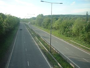
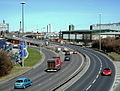
The A63(T) looking west from near BroughRoute information Part of  20
20Length: 58 mi (93 km) Major junctions From: Kingston upon Hull 


![]](/pictures/enwiki/52/4px-Motorway_Right.svg.png) M1 motorway
M1 motorway

 M62 motorway
 A15 road
 A165 road
To: Leeds Location Primary
destinations:Selby Road network Roads in the United Kingdom
Motorways • A and B road zonesThe A63 is a major road in Yorkshire, England between Leeds and Hull.
Contents
Leeds – Howden
The route out to Selby is shadowed by the Leeds-Selby railway.
The route begins just east of Leeds city centre at a junction with the A61, although, prior to its February 2009 realignment along the new East Leeds Link Road, it began at a junction with the A64 in the Halton Moor area of the city (now signed as the B6159). Heading out of Leeds the route, despite being of dual carriageway standard, is subject to a 40mph speed limit, and incorporates peak-time HOV lanes. At the end of this dual carriageway section, the route meets the M1, and the road continues north along the motorway for one junction then resumes as the A63.
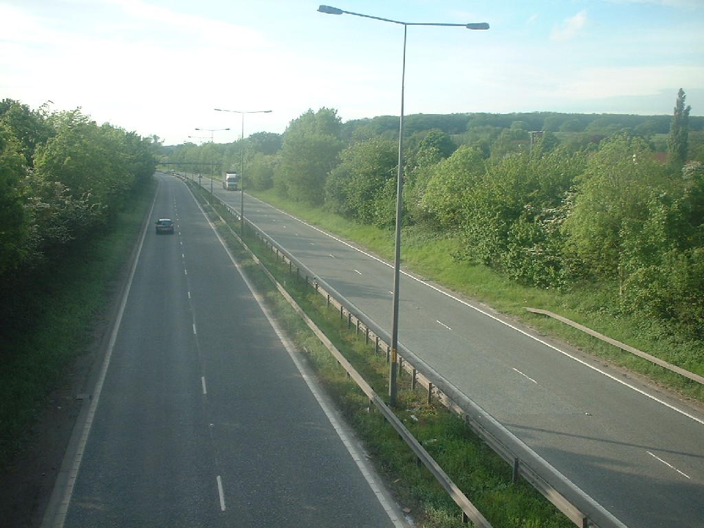
 A642 roundabout at Garforth
From junction 46 of the M1, the Thorpe Park roundabout, the route continues east, meeting the A642 at Garforth. There is a turning for Lidgett Lane (B6137) to the left, next to Garforth Community College, with the TOTAL Garforth West garage on the right. It crosses the Leeds Country Way (a former railway), and there is the B6137 to the right for Kippax. On the Garforth/Micklefield parish boundary is a roundabout with the A656 Roman Ridge.
 Selby Fork Hotel
At the Boot and Shoe junction, with the former A1, there is the Esso Boot & Shoe Service Station, and the Best Western Milford Hotel[1]. There is a grade-separated left turn for the B1222 (for Sherburn-in-Elmet). This dual-carriageway section of the former A1, follows the Leeds - North Yorkshire boundary (Ledsham and South Milford), and was built as part of the Brotherton-Micklefield scheme in November 1964 by Dowsett Engineering Construction. At the Selby Fork junction south of the Selby Fork Hotel, the A1246 continues southwards along the former A1, and the road enters the district of Selby, in North Yorkshire.
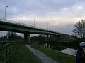 Bridge over the Selby Canal
It crosses the A1(M) at junction 42 at South Milford. It meets the A162 at a roundabout, crosses a railway, and passes through Monk Fryston. It follows Causeway Dike and passes through Hambleton, where to the east it crosses the Selby Diversion of the East Coast Main Line, and the A1238 (former A63) at a roundabout. The route follows the six-mile £44 million Selby Bypass and £5 million Barlby Bypass, the latter of which is shared with the north-south A19, although the A19 still passes through Selby itself. On the bypass the road passes Selby Golf Club, meets the A19 at a roundabout at Brayton, crosses the Selby Canal, crosses the Doncaster-Selby railway, meets the A1041 at a roundabout, and crosses the River Ouse (Ouse Swing Bridge) and the Selby-Hull railway. The short section around Barlby follows what was the old East Coast Main Line railway before the Selby Diversion opened in the early 1980s. An alternative route eastwards from the Selby bypass, to the M62, is the A1041 via Camblesforth, then the A645 past Drax power station. The route out to Hull is shadowed by the Hull to York Line (Selby-Hull).
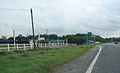
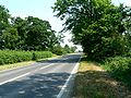 East of Hemingbrough
It leaves at the dangerous Barlby Crossroads to the right, passing Osgodby then over the railway line and passes Hemingbrough. The Osgodby Bypass was cancelled due to increases in prices of land. It crosses the River Derwent and enters the East Riding of Yorkshire. It passes through Newsholme before passing straight through Howden next to Howden Minster. It passes through the town as Bridgegate and Hull Road, passing Howden School and Technology College, where it meets the A614 at a roundabout at the BP Longs Corner Garage. Access to the M62 is via junction 37 to the west, along Boothferry Road (A614).
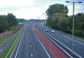
 Junction 38 of the M62 seen from the former A63
From Howden, the A63 is renamed to be the B1230, at the Howden end but is still signposted as the A63. The B1230 continues and carries the A63 traffic over the M62 motorway and onwards in to Gilberdyke. When the B1230 was originally the A63, the main road through Gilberdyke was a dual carriageway for about three miles to the other side of Newport. Where the B1230 crosses the M62 motorway at Newport, the M62 finishes and the A63 starts. Prior to the last eastern section of the M62 to be built, the motorway terminated at a temporary junction at Balkholme onto the A63 (now B1230). Before the M62 opened, the single carriageway A63 was Hull's main route to the South of England, causing many bottlenecks.
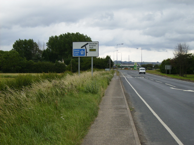
North Cave – Hull
The section from junction 38 of the M62 (its terminus) to the A1034 junction near South Cave was single carriageway before the M62 opened in May 1976. The section was constructed as the dualling of the Caves Bypass and opened when the last eastern section of the M62 opened, completing the dual carriageway link to the outskirts of Hull. From junction 38, the B1230 leads to North Cave (and in the direction of Beverley) along the former A63. The BP Triangle North Cave is alongside the junction.
There is the Beacon Service Area on the eastbound side, with the South Cave East[2] Little Chef and Shell Beacon, situated just south of Everthorpe and Wolds prisons. The road skirts the southern edge of South Cave, and near Ellerker it crosses the former route (and Ermine Street from Brough, then known as Petuaria, to York) at the A1034 junction.
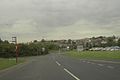
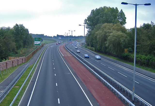
 Melton interchange
The 2.5 miles (4.0 km) Elloughton bypass was built in October 1971, from the A1034 to the Welton/Brough junction passing Brantingham to the west. It replaced the former road through Elloughton and Brough. This section skirts the southern edge of the Yorkshire Wolds.
The Welton/Brough – North Ferriby section opened in 1963. At the Elloughton-cum-Brough-Welton parish boundary, there is a grade-separated junction for Brough to the south and Welton to the north. The road passes on the south side of South Hunsley School (with a leisure centre[3]) at Melton, part of the parish of Welton. The Shell Grand Dale is on the westbound side, west of the Melton interchange.
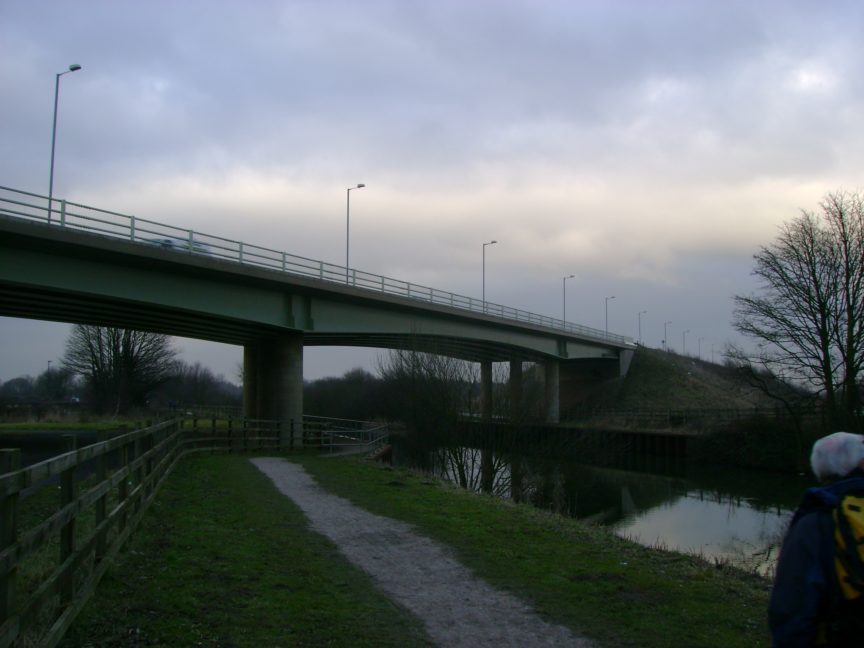
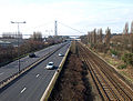 The railway line near the Humber Bridge
At the west end of North Ferriby on the parish boundary with Welton, the former traffic lights and crossroads were replaced in early 2007 with an interchange. The Yorkshire Wolds Way crosses at this point.
The North Ferriby bypass and North Ferriby – Hessle were two sections that opened in 1961. The former route is partly the B1231 (for Swanland). The road meets the A15 at a grade-separated junction. The former route, before the South Docks Road improvement, followed the current A1105 into Hull.
 Flyover near the Smith & Nephew factory
The road continues through the Humber Bridge Country Park, across the railway, and under the Humber Bridge. The bridge was designed to take some of Hull's traffic southwards, but the vast majority takes the A63 westwards, then along the M18. It passes the south side of Hessle, next to Hessle railway station. The railway follows the road on the northern side. There is a junction with Priory Road, and at Gipsyville it meets the A1166 at a grade-separated roundabout near St Andrew's Quay. Near the Albert Dock, there is a fly-over where it rejoins the former Hessle Road next to the Smith & Nephew factory to the south. It meets the A1079 (for central Hull) at a junction, which is planned to incorporate the Castle Street Improvement. It crosses the River Hull at Myton Bridge (a swing-bridge), near the Hull Tidal Surge Barrier and The Deep. At Drypool it meets a roundabout as Garrison Road with the A1165, then a junction for the A1033 (Hedon Road) where the road terminates.
It terminates in Hull. This final section carries the name Clive Sullivan Way, and was named after the rugby league player Clive Sullivan,[4] being originally titled the South Docks Road.
A section of the A63 forms part of the unsigned Euroroute E20.
References
- ^ Milford Hotel
- ^ South Cave East
- ^ South Hunsley leisure centre
- ^ "Clive Sullivan remembered during Black History Month". BBC News (BBC). 21 October 2010. http://news.bbc.co.uk/local/humberside/hi/people_and_places/history/newsid_9114000/9114179.stm. Retrieved 26 October 2010.
External links
A roads in Zone 6 of the Great Britain road numbering scheme  Categories:
- Roads in Yorkshire
- Transport in the East Riding of Yorkshire
- Transport in South Yorkshire
- Transport in West Yorkshire
- Transport in Leeds
- Transport in Kingston upon Hull
- Transport in North Yorkshire
- Selby


Wikimedia Foundation. 2010.