- Nandura
-
Nandura — city — Coordinates 20°50′N 76°27′E / 20.83°N 76.45°ECoordinates: 20°50′N 76°27′E / 20.83°N 76.45°E Country India State Maharashtra District(s) Buldana Population 37,470 (2001[update]) Time zone IST (UTC+05:30) Area
• 262 metres (860 ft)
Nandura is a town and a municipal council in Buldana district in the Indian state of Maharashtra. It is the headquarter of Nandura taluka. Situated on the National Highway No. 6 and Mumbai-Howrah railway line, Nandura in an important town in the Buldhana district. Nandura municipality was established during the British Raj in 1931.[1]
Contents
Geography
 River Dnyanganga at Nandura
Nandura is located at 20°50′N 76°27′E / 20.83°N 76.45°E[2]. It has an average elevation of 262 metres (859 feet). Nandura is a twin town separated from a village of the same name (Nandura) by River Dnyanganga, though the village is considered as the part of Nandura itself officially.
Demographics
As of 2001[update] India census[3], Nandura had a population of 37,470. Males constitute 51% of the population and females 49%. Nandura has an average literacy rate of 69%, higher than the national average of 59.5%: male literacy is 76%, and female literacy is 62%. A total of 14% of the population is under 6 years of age.
Communication
Nandura is situated on national highway number 6 i.e. Hajira-Dhule-Kolkata National Highway. It is also a railway station of Central Railway on Mumbai-Howrah Broad gauge route.
Nandura has a sub post office and telegraph office with pincode 443403. Modern communication services like telephone and cellphones has now been a common thing. Internet is also evolving as a mean of communication, though it is not in the mainstream yet.
Industries
Nandura has oil mills, dal mills, and jinning and pressing industry along with handlooms. In older days, Nandura was known for cotton products like ropes, handmade cotton dhoti and saris, etc. Nandura's milk products like Khava are famous for its quality and taste and is transported daily to several adjoining districts.
Nandura also acts an important trade center in the locality. Trading of wheat, jowar, pulses, cotton, onion, chilli, lemon and several vegetables like Brinjal are the prominent ones.
Education
Nandura has educational facilities from preschool to graduation level. Some of the institutions are listed below:
- C.S.Kothari high school and college
- Shivaji high school
- Pundlik Maharaj Senior College
- Bharatiya Dnyanpeeth Vidyalaya
- Kothari D.Ed College
- Inayatia high school and Jr.college
- Maulana Azad High School
- Smt. Tulsaibai Ranglalji Zambad Senior College ( B.Sc. & B.Com [Eng. Medium])
- Smt. Tulsibai Ranglalji Zambad VidyaNiketan,(C.B.S.E. affiliated School class 1 to 11 in Buldana Dist.)
- Zambad Kids(Nursury, LKG, UKG)
- Jangli maharaj semi English convent
Nandura Tehsil
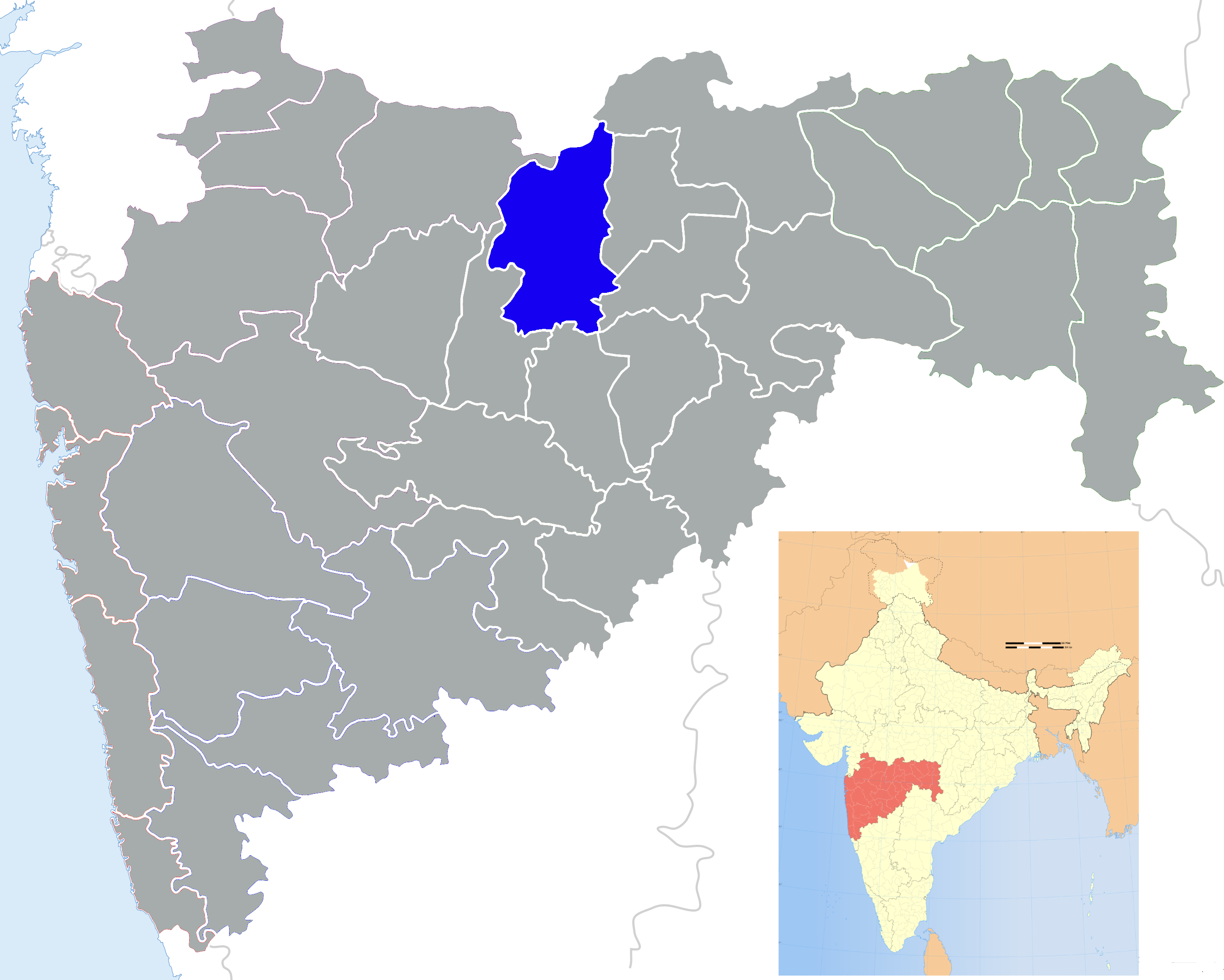
Nandura tehsil is part of Malkapur Sub-Division of Buldhana district, along with Motala and Malkapur tehsils. It has its borders with Malkapur tehsil in the West, Jalgaon Jamod tehsil in the north, Khamgaon and Shegaon tehsils in the east, and Khamgaon and Motala tehsils in the south.
Nandura tehsil has area of 462 square km and consist of 103 villages has a population of around 1,28,000[4]
Some of these villages are Chandur Biswa, Wadner, Nimgaon, Takli(Wachpal), Jigaon, Palsoda, Patonda, Mamulwadi, Higana Gavhad, Mominabad, Sawargaon, Sirsodi, Yerali, Alampur, Narakhed, Pimpalkhuta Dhande, Rasulpur, Wadali, Dighi, Khumgaon, Dahigaon,Matoda,sonaj, Danora, Kati, Dahivadi, Potali, Medhali, Wadi, Shegaon, Lonwadi, <Malegaon Gond>, Wasadi, Khadatgaon, Mahalundi, Jawala Bazar, Takarkhed, Fuli, Khaira, and Shemba.[5].
Tourist attractions
 105 feet high Hanuman-Murti, Nandura
The 105-feet statue of Lord Hanuman is a main tourist attraction in the town. It is situated on the national highway no. 6. About Murti : Height:105 ft. Chest:70 ft. Base:30 ft. Tail:70 ft. Arm:25 ft.(diameter) Gada 30 ft. Sole 34 ft. Nail of sole:15 ft. description: Lord Hanuman is son of Pawan (Air) and Anjani (the woman of highly spiritual native). Lord Hanuman is called PAWANSUT (Son of Air) and ANJANIPUTRA (Son of Anjani). About Murti :Height:105 ft.Chest:70 ft. Base:30 ft. Tail:70 ft. Arm:25 ft.(diameter) Gada 30 ft. Sole 34 ft. Nail of sole:15 ft. Getting there :By Air : Nearest Airport is Aurangabad, 197 km and Nagpur 317 km By Rail :NANDURA is situated on Mumbai - Howara(via NAGPUR) Railway Route, from Bhusawal Distance 90km West By ROAD: One can approach by Road/Bus from Khamgaon a distance of 18 km connected with National High Way No.6. Direct Buses of state transport available from major cities of Maharashtra. THE MURTI CAN BE VIEWABLE FROM TRAINS RUNNING BETWEEN BHUSAWAL-NAGPUR-BHUSAWAL LINE. 35 SECONDS BEFORE (DOWN LINE RIGHT SIDE) AND AFTER (UP-LINE LEFT SIDE) OF THE TRAINS THROUGH NANDURA RAILWAY STATION... created: jun 8, 2011 V.A.Patil, nandura

Purna River, Manegaon, Jalgaon Jamod Malkapur, Buldhana 
Jalamb, Shegaon  Nandura

Motala Pimpalgaon Raja Khamgaon References
- ^ "The Gazetteers Department - Buldhana". http://www.maharashtra.gov.in/english/gazetteer/BULDHANA/places_Nandura.html. Retrieved March 17, 2010.
- ^ Falling Rain Genomics, Inc - Nandura
- ^ "Census of India 2001: Data from the 2001 Census, including cities, villages and towns (Provisional)". Census Commission of India. Archived from the original on 2004-06-16. http://web.archive.org/web/20040616075334/http://www.censusindia.net/results/town.php?stad=A&state5=999. Retrieved 2008-11-01.
- ^ Buldhana District Disaster Plan, Relief & Rehabilitation Division, Revenue and Forest Deaprtment, Government of Maharashtra
- ^ Buldhana district website
Buldhana district Subdivisions and Tehsils Buldhana · Chikhli · Deulgaon Raja · Khamgaon · Shegaon · Malkapur · Motala · Nandura · Mehkar · Lonar · Sindkhed Raja · Jalgaon Jamod · Sangrampur
Cities and Towns Railway Stations Jalamb Junction - Malkapur - Shegaon - Nandura - Khamgaon - Biswa Bridge - Khamkhed - Kumgaon Burti - Shrikshetra Nagzari - WadodaHistorical Geography Lok Sabha constituencies Vidhan Sabha constituencies Religious Categories:- Railway stations in Maharashtra
- Bhusawal-Badnera rail line
- Talukas in Maharashtra
- Bhusawal railway division
- Cities and towns in Buldhana district


Wikimedia Foundation. 2010.