- Mehkar
-
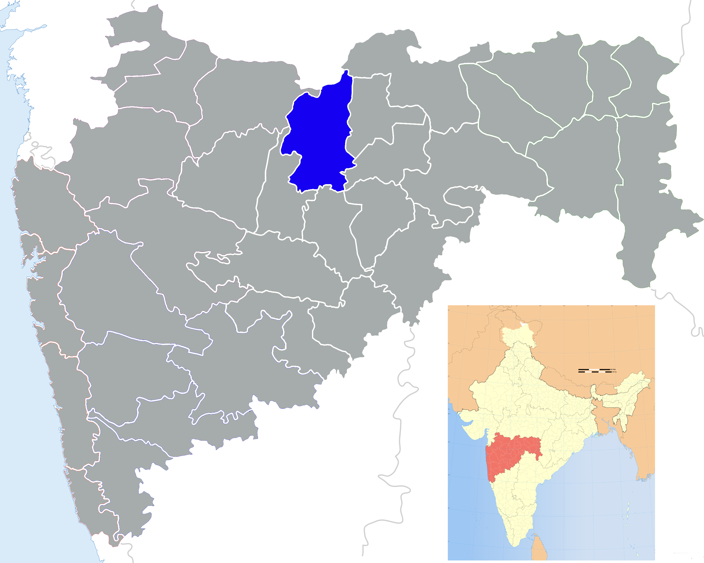
Mehkar — town — Coordinates 20°9′0″N 76°34′0″E / 20.15°N 76.566667°ECoordinates: 20°9′0″N 76°34′0″E / 20.15°N 76.566667°E Country India State Maharashtra District(s) Buldhana Nearest city Mehkar Population 90,000 Sex ratio 92 ♂/♀ Literacy 89%% Time zone IST (UTC+05:30) Area
• Coastline
• 0 kilometres (0 mi)
Climate
Temperature
• Summer
• Winter
• 35 °C (95 °F)
• 25 °C (77 °F)Mehkar is a city and a municipal council in Buldhana district in the Indian state of Maharashtra. It was previously known as 'Meghankar Nagari'.
Contents
Geography
Mehkar is located near Lonar. It is nearly 130 km away from Ellora Caves and 21 km from Lonar. Sindkhed Raja - the town of 'Jijamata - mother of Shivaji Maharaj' is located 55 km from Mehkar. Mehkar is well connected with Aurangabad, Pune and Nagpur by roads. It is nearly 75 km from Shegaon, 57 km from Khamgaon and 45 km from Chikhali.Mehkar is situated on Mumbai Nagpur Highway.Outside the Mehkar there will be Sarangpur Khandala bypass near aout 12 km From Sarangpur to Khandala.
Demographics
As of 2001[update] India census,[1] Mehkar had a population of 29,896. Males constitute 52% of the population and females 48%. Mehkar has an average literacy rate of 78%, higher than the national average of 62.5%: male literacy is 76%, and female literacy is 65%. In Mehkar, 18% of the population is under 6 years of age.
Balaji Temple
It has a temple of the Hindu god Balaji that is more than 120 years old. The documents written on copper found with Balaji's sculpture are now in the British Museum, England. it is the largest sculpture of Lord Balaji in Asia.[citation needed]
Mehkar also has a place called Haran Tekdi, which has a great old temple. It is a myth that Lord Rama had caught hold of one bare (Haran in local language), hence it is named as Haran Tekdi.
Ganpati Galli, Mahadev Wetal, Shivaji Wetal, Shivaji Nagar, Sambhaji Nagar, and Ram Nagar are important areas of Mehkar.
References
- ^ "Census of India 2001: Data from the 2001 Census, including cities, villages and towns (Provisional)". Census Commission of India. Archived from the original on 2004-06-16. http://web.archive.org/web/20040616075334/http://www.censusindia.net/results/town.php?stad=A&state5=999. Retrieved 2008-11-01.

Chikhli, Maharashtra Janephal, Khamgaon 
Malegaon, Washim  Mehkar

Sindkhed Raja Lonar Risod(Washim district) Buldhana district Subdivisions and Tehsils Buldhana · Chikhli · Deulgaon Raja · Khamgaon · Shegaon · Malkapur · Motala · Nandura · Mehkar · Lonar · Sindkhed Raja · Jalgaon Jamod · Sangrampur
Cities and Towns Railway Stations Jalamb Junction - Malkapur - Shegaon - Nandura - Khamgaon - Biswa Bridge - Khamkhed - Kumgaon Burti - Shrikshetra Nagzari - WadodaHistorical Geography Lok Sabha constituencies Vidhan Sabha constituencies Religious Categories:- Talukas in Maharashtra
- Cities and towns in Buldhana district
- Amravati Division geography stubs


Wikimedia Foundation. 2010.