- Moonbeam, Ontario
-
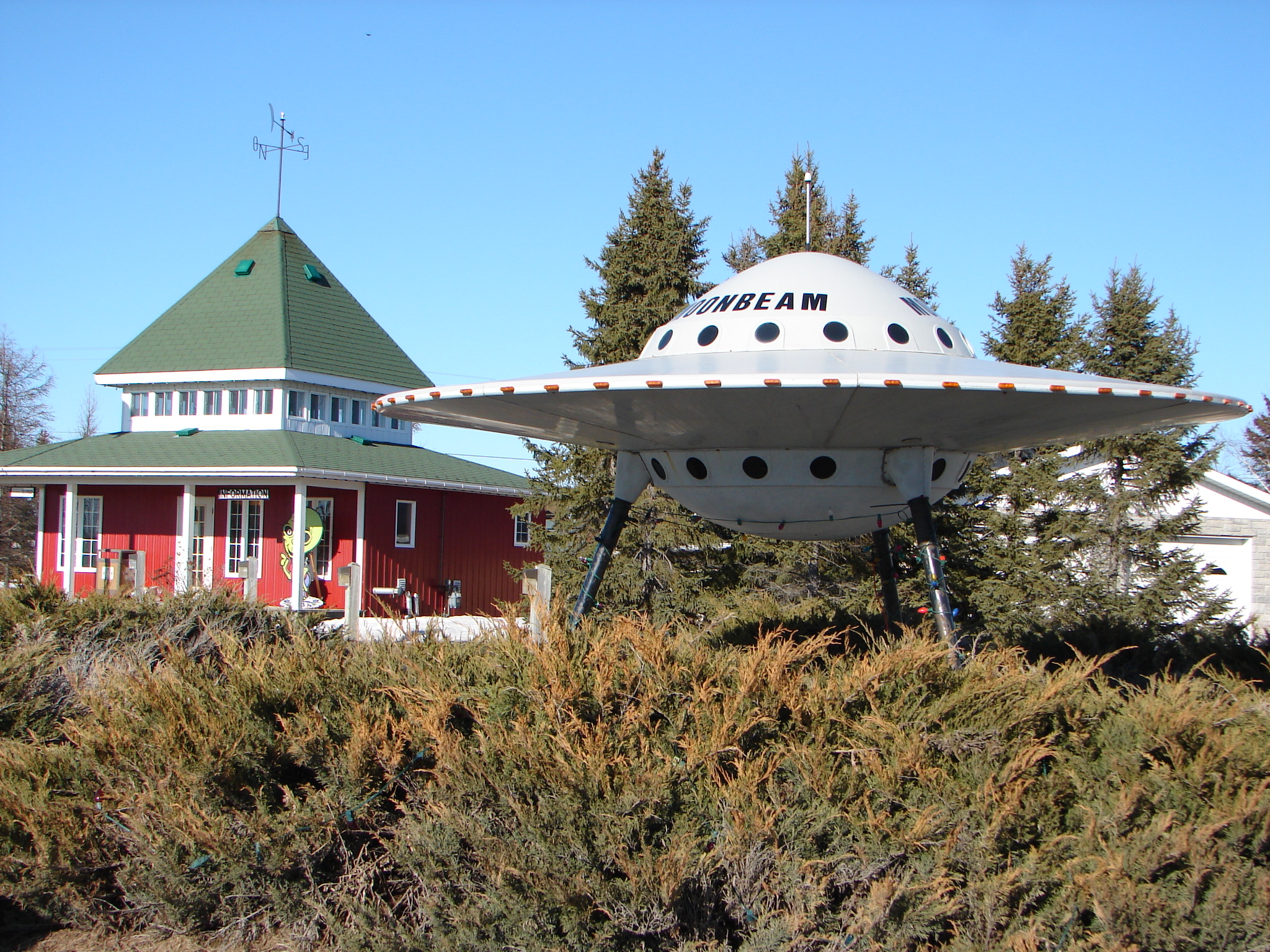
Moonbeam Novelty UFO and visitor centre in Moonbeam

 Moonbeam
Coordinates: 49°21′00″N 82°09′00″W / 49.35°N 82.15°W Country  Canada
Province  Ontario
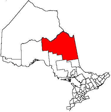
District Cochrane Settled 1912 Incorporated 1922 Government - Type Township - Mayor Gilles Audet - Federal riding Algoma—Manitoulin—Kapuskasing - Prov. riding Timmins—James Bay Area[1] - Land 235.17 km2 (90.8 sq mi) Population (2006)[1] - Total 1,298 - Density 5.5/km2 (14.2/sq mi) Time zone EST (UTC-5) - Summer (DST) EDT (UTC-4) Postal Code P0L 1V0 Area code(s) 705 Website www.village.moonbeam.on.ca  Flying Saucer of Moonbeam
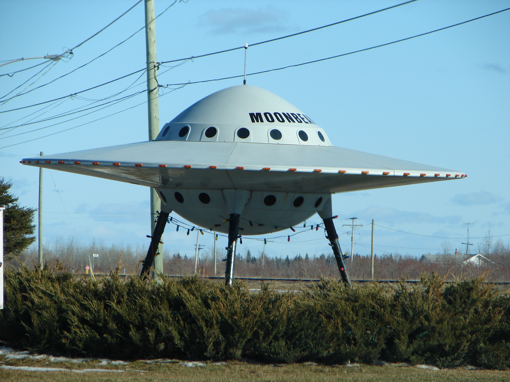
Moonbeam is a township in Ontario, Canada, located in Cochrane District. It had a population of 1201 in the 2001 census, a decline of 9% from 1996.[2] It was named after Moonbeam Creek.
The township is located south of René Brunelle Provincial Park, between the communities of Fauquier and Kitigan. It is known for its roadside flying saucer, which is also featured prominently in promotional material.
Contents
Origin of the name Moonbeam
The name "Moonbeam" is attributed to early pioneers who allegedly witnessed flashing lights falling from the sky, which they called "moonbeams". These lights fell down or reflected in a creek that flows west from Strickland to Rémi Lake and was called Moonbeam Creek. These lights could have been Northern Lights that often appear with the moon light.[3]
Another suggestion is that the name came from the passengers on the Transcontinental Railway, who would be traveling for many miles through dark forests and when they came to the natural clearing near Moonbeam would be struck by the brilliance of the moon-lit snow. Nevertheless, there is no documented proof of the exact source of this name.[3]
Rémi Lake was named after a Great Trunk Pacific Railway worker who drowned there in 1905.
History
The Canadian Transcontinental Railway, connecting Quebec City with the Canadian Prairies, was completed by 1912 and provided new access to agricultural land and natural resources of northern Ontario. This attracted colonizers from Montreal, Sainte-Agathe, and Saint-Jovite, to the Moonbeam area, looking for land to cultivate or mine.[3]
Timeline:
- The first family to get established in Moonbeam is Théodule and Valentine Léonard in 1909.
- The first baby born in Moonbeam was Marie Régina Lecuyer in 1914.
- The priest, founder of Moonbeam, was Ovila François Paquette O.M.I. in 1916.
- The first school to open its doors was in September of 1919.
- The first church to be built in Moonbeam was in 1919-1920, called Nativité de Moonbeam.
- The first cottage to be built on the Rémi Lake is the cottage of a rich tourist from Rochester New-York, Mr. Buelle in 1920.
- The first Reeve of Moonbeam was Joseph Girouard in 1922.
- The first St-Jean Parade was in 1922.
- The incorporation of the District of Fauquier was January 9th, 1922.
- The first doctor in the region was Doctor Nicole in Fauquier in 1924.
- The first airplane in Moonbeam was a Curtiss HS-2L flown by Captain C.A. Schiller in 1925.
- The first butter-production firm was open in 1927. It cost $3689.00 to build and $5954.00 for all the machineries.
- The first doctor to open its doors in Moonbeam was Doctor Soucie in 1934.
- 1930-1940, the speed limit was raised to 15 miles per hour.
- 1930-1940, all stores were restricted to not sell tobacco to kids less than 18 years of age.
- The chapel at Rémi Lake celebrated its first mass in 1960.
- The sewage system in the village was installed November 1st 1965.
List of mayors
Mayors from incorporation in 1922 to present:[4]
- Joseph Girouard (1922-1923)
- Célestin Desgroseillers (1924-1928)
- Vital Filion (1929-1931)
- Cléophas Desgroseillers (1932-1935)
- Albert Gaudreault (1936-1938)
- Guillaume Soucie (1939-1942)
- Ernest Léonard (1943-1946)
- Alexandre Lacroix (1947-1950)
- Jos. Aimable Turcotte (1951 and 1955-1958)
- Francis St-Aubin (1952-1954)
- Stanislas Lavoie (1959-1972)
- Raymond Bouchard (1972-1978)
- Gaëtan Filion (1979-1985)
- Olivain Fullum (1985-1997)
- Claude D'Amours (1997-2000)
- Gilles Audet (2000-present)
Demographics
Population:[5]
- Population in 2006: 1298
- 2001 to 2006 population change: 8.1 %
- Population in 2001: 1201
- Population in 1996: 1322
- Population in 1991: 1330
Private dwellings, excluding seasonal cottages: 544 (total: 907)
Mother tongue:[1]
- English as first language: 12.9 %
- French as first language: 83.6 %
- English and French as first language: 1.5 %
- Other as first language: 2.0 %
References
- ^ a b c Statistics Canada 2006 Census - Moonbeam community profile
- ^ "Moonbeam, Ontario (township)". 2001 Census Community Profiles. statistics Canada. http://www12.statcan.ca/English/Profil01/CP01/Details/Page.cfm?Lang=E&Geo1=CSD&Code1=3556056&Geo2=PR&Code2=35&Data=Count&SearchText=Moonbeam&SearchType=Begins&SearchPR=01&B1=All&GeoLevel=&GeoCode=3556056. Retrieved 2006-06-12.
- ^ a b c Jean Lagacé (2009-11-10). "Did you know?". Corporation of the Township of Moonbeam. http://www.village.moonbeam.on.ca/saviezvousEn.html. Retrieved 2009-12-18.
- ^ "Moonbeam Mayors". Corporation of the Township of Moonbeam. 2009-11-10. http://www.village.moonbeam.on.ca/prefetsEn.html. Retrieved 2009-12-18.
- ^ Statistics Canada: 1996, 2001, 2006 census
External links
City 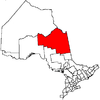
Towns Townships Black River-Matheson • Fauquier-Strickland • Mattice-Val Côté • Moonbeam • Opasatika • Val Rita-HartyFirst Nations reserves Abitibi 70 • Constance Lake 92 • Factory Island 1 • Flying Post 73 • Fort Albany 67 • Moose Factory 68 • New Post 69 • New Post 69AUnorganized territories See also: Communities in Cochrane District • Census divisions of Ontario Categories:- Township municipalities in Ontario
- Municipalities in Cochrane District, Ontario
- Ontario communities with large francophone populations

Wikimedia Foundation. 2010.