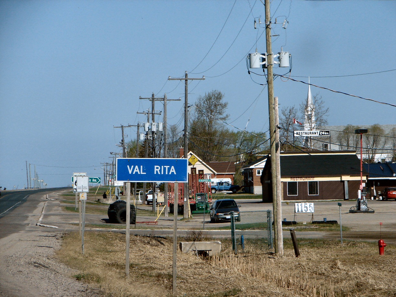
- Val Rita-Harty, Ontario
Infobox Settlement
official_name = Township of Val Rita-Harty
native_name =
nickname =
motto =
imagesize =
image_caption = Val Rita
image_
image_dot_
dot_mapsize =
dot_map_caption =
mapsize =
map_caption =
subdivision_type = Country
subdivision_type1 = Province
subdivision_type2 = District
subdivision_name =Canada
subdivision_name1 =Ontario
subdivision_name2 = Cochrane
leader_title = Mayor
leader_name = Laurier Bourgeois
leader_title1 = Governing Body
leader_name1 =
leader_title2 = MPs
leader_name2 =Brent St. Denis
leader_title3 = MPPs
leader_name3 =Gilles Bisson
established_title = Incorporated
established_date = 1973
established_title2 =
established_date2 =
established_title3 =
established_date3 =
area_magnitude =
area_total_km2 =
area_total_sq_mi =
area_land_km2 =
area_land_sq_mi =
area_water_km2 =
area_water_sq_mi =
area_water_percent =
area_urban_km2 =
area_urban_sq_mi =
area_metro_km2 =
area_metro_sq_mi =
population_as_of = 2006
population_note =
population_total = 1,022
population_density_km2 =
population_density_sq_mi =
population_metro =
population_density_metro_km2 =
population_density_metro_sq_mi =
population_urban =
timezone = Eastern (EST)
utc_offset = -5
timezone_DST = EDT
utc_offset_DST = -4
elevation_m =
elevation_ft =
postal_code_type = Postal code span
postal_code =
website = [http://www.valharty.ca/ Township of Val Rita-Harty]
footnotes =Val Rita-Harty is a township in the Canadian province of
Ontario , located in the Cochrane District. The township had a population of 1,022 in theCanada 2001 Census .The township consists of two communities, Val Rita and Harty, located near Kapuskasing. It was incorporated as a township in 1973, following a failed community effort in 1964 to request incorporation as a municipality.
Gallery
External links
* [http://www.valharty.ca/ Township of Val Rita-Harty]
Wikimedia Foundation. 2010.
