- Chipping, Lancashire
-
Coordinates: 53°53′06″N 2°34′23″W / 53.885°N 2.573°W
Chipping 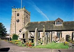
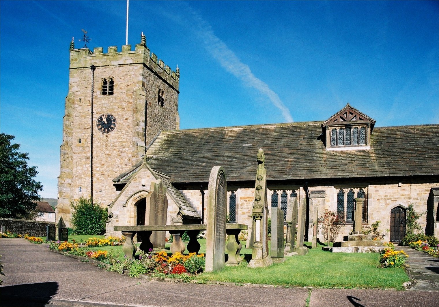
St Bartholomew's Church, Chipping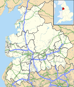
 Chipping
Chipping shown within LancashirePopulation 1,046 (2001 census) OS grid reference SD623434 District Ribble Valley Shire county Lancashire Region North West Country England Sovereign state United Kingdom Post town PRESTON Postcode district PR3 Dialling code 01995 Police Lancashire Fire Lancashire Ambulance North West EU Parliament North West England UK Parliament Ribble Valley List of places: UK • England • Lancashire Chipping is a village and civil parish of the borough of Ribble Valley, Lancashire, England, within the Forest of Bowland Area of Outstanding Natural Beauty. In the 2001 census, the parish had a population of 1,046.[1]
A well kept secret to many, this picturesque Lancashire village has won a number of best kept village competitions over the years.[citation needed] The village also won the village section of the Royal Horticultural Society Britain in Bloom competition in 2009 picking up RHS Tourism and Gold achievement awards in the process.
Contents
History
See also: Lordship of BowlandThe village is known to be at least 1,000 years old and is mentioned in Domesday. It lies on the south-western edge of the ancient Forest of Bowland abutting the civil parish of Bowland-with-Leagram. Leagram Park, the site of one of the medieval deer parks of the Forest, is a short drive from the village. Despite this, Chipping was not a part of the ancient Forest and its manor did not fall within the powerful Lordship of Bowland.[2]
Chipping really thrived during the Industrial Revolution when there were seven mills located along Chipping Brook. The last survivor was the chair making factory of HJ Berry, but in 2010 the company went into administration and the factory closed,[3] and on 7 March 2011 the works were bought by 53N Bowland Ltd.[4]
Place name
Chipping is named in the Domesday book as Chippenden; the name is derived from the medieval Chepyn meaning market place. Chipping is a prefix used in a number of place names in England, and is probably derived from ceapen, an Old English word meaning 'market', though the meaning may alternatively come from (or via) the Medieval English word chepynge with a more specific meaning of 'long market square'.[citation needed]
Local government
Chipping is a civil parish, and formerly an ancient parish that also included Thornley-with-Wheatley, which became a separate parish in the 19th century. Chipping was in Clitheroe Rural District from 1894 until the reorganisation of local government in 1974,[5]
It is now in Ribble Valley, a non-metropolitan district formed in 1974. The parish of Chipping is combined, with Bowland-with-Leagram and Bowland Forest High, into the ward of Chipping, which elects one councillor to Ribble Valley Borough Council.[6][7][8] Local elections are every four years; as of 2008[update] the most recent was in 2007.[9]
Chipping is part of the Longridge with Bowland ward of Lancashire County Council[10] and is in the Ribble Valley parliament constituency. At all three levels of government (district, county and parliament) Chipping is represented by the Conservative Party (as of 2008[update]).
Landmarks
Chipping Craft Centre holds the honour of being the shop which has been used as a shop for the longest continuous time in the UK.[11] It has previously been used as an undertakers, butchers and most recently as a Post Office amongst other trades. However now it is a newsagents, tea shop and craft centre and only operates as a Post Office 2 days a week.
Education
The village has the benefit of two primary schools; St Marys RC and Brabin's Endowed School. Brabin's Endowed was established in 1684.[12] The Chipping Children's Community Alliance (CCCA) is also based on the site of Brabin's school and offers provision for pre-school children as well as breakfast and after school clubs.
Culture
Chipping has its own Local Historical Society. Nearby is a small grass airstrip that is used for winch-launched gliding purposes. Also nearby is the well-respected Gibbon Bridge Hotel.
The Chipping Agricultural Show is a local country show that was first held in 1920. The Show celebrates all aspects of farming and rural life with classes for sheep, cattle, light horses, ponies and shire horses plus poultry, pigeon and egg sections. There are also classes for cheeses, handicrafts, cakes and preserves, a large horticultural section plus children's, dog and baby sections.
Geography
Just to the north of the village the Forest of Bowland access areas of Clougha, Fair Snape, Wolf Fell and Saddle Fell have been opened up to the public by access agreements negotiated between Lancashire County Council and the owners. This means that over 3,260 acres (13.2 km2) of open country are now open to walkers.
Transport
The bus service connecting Chipping to Preston is Stagecoach North West Route 4.
Chipping in fiction
The Wardstone Chronicles, written by Joseph Delaney, frequently features the village of Chipenden, which is based on the village of Chipping.[13]
See also
External links
- Victoria County History – The parish of Chipping British History Online
- Brabin's Endowed School, Chipping
- Chipping Village Website
- Chipping and Downham - Feasibility Study into the potential for zero carbon villages
- Bowland Forest Gliding Club
- Chipping Local History Society
wwwKirk Mill and former chairworks
References
- ^ "Parish headcount". Lancashire County Council. http://www.lancashireparishcouncils.gov.uk/documents/information/Parish_headcount.pdf. Retrieved 2008-12-05.
- ^ Forest of Bowland official website
- ^ Coates, David (2010-02-16). "'Phoenix' hope for HJ Berry factory". Lancashire Evening Post. Johnston Press. http://www.lep.co.uk/businessnews/39Phoenix39-hope-for-HJ-Berry.6074820.jp. Retrieved 2010-03-01.
- ^ Kirk Mill, accessed 10 March 2011
- ^ "Chipping Ch/AP/CP Lancashire through time – Administrative history of Parish-level unit". A Vision of Britain through Time. University of Portsmouth & others. 2008. http://www.visionofbritain.org.uk/relationships.jsp?u_id=10344864&c_id=10001043. Retrieved 2008-12-05.
- ^ "MARIO (Maps and Related Information Online)". Lancashire County Council. http://mario.lancashire.gov.uk. Retrieved 2008-12-05.
- ^ "Councillors". Ribble Valley Borough Council. http://www.ribblevalley.gov.uk/site/scripts/council_democracy_index.php. Retrieved 2008-12-05.
- ^ "Ribble Valley Councillors by Ward: Chipping". Ribble Valley Borough Council. http://www.ribblevalley.gov.uk/site/scripts/councillors.php?viewBy=specificWard&wardID=6. Retrieved 2008-12-05.
- ^ "The Borough of Ribble Valley (Electoral Changes) Order 2001". Office of Public Sector Information. 2001-07-13. http://www.opsi.gov.uk/si/si2001/20012429.htm. Retrieved 2008-12-05.
- ^ "The County of Lancashire (Electoral Changes) Order 2005 (No. 170)". Statute Law Database. Office of Public Sector Information. 2005-02-01. http://www.statutelaw.gov.uk/content.aspx?LegType=S.I.+(All+UK)&title=county+lancashire&searchEnacted=0&extentMatchOnly=0&confersPower=0&blanketAmendment=0&sortAlpha=0&TYPE=QS&PageNumber=1&NavFrom=0&parentActiveTextDocId=1986213&ActiveTextDocId=1986213&filesize=38271. Retrieved 2008-12-05.
- ^ Bid to save post office in country's oldest shop
- ^ "Brabin’s Endowed Primary School", Chipping Village Website.
- ^ "The Spook's County". BBC. 2007-07-09. http://www.bbc.co.uk/lancashire/content/articles/2007/07/09/joseph_delaney_feature.shtml. Retrieved 2008-12-05.
Categories:- Villages in Lancashire
- Civil parishes in Lancashire
- Geography of Ribble Valley
- Aviation in Lancashire
- Forest of Bowland

Wikimedia Foundation. 2010.