- Oklahoma State Highway 53
-
State Highway 53
Route information Maintained by ODOT Length: 86.7 mi (139.5 km) Major junctions West end:  SH-5 in Walters
East end:  US-177 near Gene Autry
Highway system Oklahoma State Highways
Oklahoma turnpike system←  SH-52
SH-52US-54  →
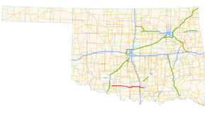
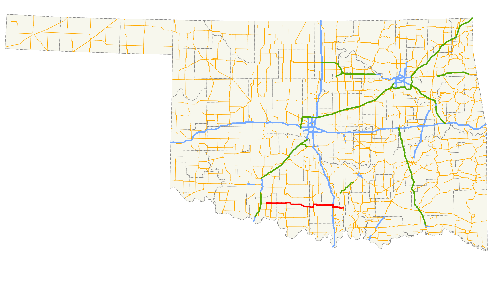
→State Highway 53 is a 87 mile[1] (139 km) highway in southern Oklahoma. It connects Walters in Cotton Co. to Gene Autry in Carter Co.. It has one lettered spur route, SH-53A.
Contents
Route description
SH-53 begins at a T intersection in Walters, where State Highway 5 makes up the western and southern legs of the T. SH-53 runs eastward from here, crossing East Cache Creek.[2] At Fivemile Corner,[2] the road intersects SH-65, five miles (8 km) east of Walters.[3] SH-53 continues due east into the Waurika Wildlife Management Area, where it crosses Beaver Creek and Little Beaver Creek (which at their confluence downstream of SH-53 are dammed to create Waurika Lake). After leaving the wildlife management area, SH-53 crosses into Stephens County.[2]
About 2 miles (3.2 km) east of the Cottn–Stephens county line, SH-53 passes through Corum. The highway continues due east to the western outskirts of Comanche, where it curves northeast to pass through the city's downtown. There, it intersects US-81. SH-53 continues due east out of town as it approaches Comanche Lake, where it cuts away to the southeast before resuming its due east course. The highway then goes through a series of curves gradually sending it more southeast, passing through Loco. The route serves as the northern terminus for SH-89 just before crossing into Carter County.[2]
The first highway junction that SH-53 encounters in Carter County begins a three-mile (5 km) concurrency with State Highway 76 north of Healdton.[3] South of Fox, SH-53 splits off to the east. The highway passes through Clemscott, Graham, Milo, and Woodford before coming to an interchange with I-35. SH-53 joins southbound I-35, splitting off after two miles (3 km).[3] It meets US-77 in Springer before passing through Gene Autry and ending at US-177.
History
SH-53A

State Highway 53A is a one mile (1.6 km) spur to Gene Autry. It begins at SH-53 near the entrance to the Ardmore Air Park, in northeastern Carter County. It is a narrow, two-lane state highway with no shoulders throughout its length in and around the town of Gene Autry. The road has an at-grade crossing with the Burlington Northern & Santa Fe railroad at the north end of Gene Autry, and the road continues through the town until it reaches its terminus at the southern grade crossing of the same railway.
Another State Highway 53A was once a spur route to Comanche Lake. It was decommissioned in 2004.[1]
Junction list
County Location Mile[1] Destinations Notes Cotton Walters 0.0 SH-5Eastern terminus 5.0  SH-65
SH-65Stephens Comanche 20.2  US-81
US-8143.2  SH-89
SH-89Northern terminus of SH-89 Carter 49.5  SH-76
SH-76Southern end of SH-76 concurrency Fox 52.7 SH-76Northern end of SH-76 concurrency 72.9  I-35
I-35Northern end of I-35 concurrency, I-35 exit 42 74.7 I-35Southern end of I-35 concurrency, I-35 exit 40 Springer 76.0  US-77
US-77Gene Autry 82.7  SH-53A
Northern terminus of SH-53A 86.7 US-177Eastern terminus 1.000 mi = 1.609 km; 1.000 km = 0.621 mi
Concurrency terminus • Closed/Former • Incomplete access • UnopenedReferences
- ^ a b c Stuve, Eric. "OK-53". OKHighways. http://www.okhighways.com/ok53.html. Retrieved 2006-05-29.
- ^ a b c d DeLorme (2006). Oklahoma Atlas and Gazetteer (Map). 1:200,000.
- ^ a b c Oklahoma Department of Transportation. Official State Map (Map) (2009–10 ed.). http://www.odot.org/hqdiv/p-r-div/maps/state-maps/2009state/pdfs/state-map.pdf. Retrieved 2010-05-02.
External links
Categories:- State highways in Oklahoma


Wikimedia Foundation. 2010.