- Maug Islands
-
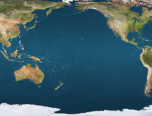
 Maug IslandsLocation of the Maug Islands in the Pacific Ocean
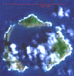 NASA Satellite imagery
The Maug Islands (from the Chamoru name for the islands as a single unit, Ma'ok, meaning "steadfast" or "everlasting") consist of three islands formed from the highest points of a single submerged volcano's caldera. This uninhabited island group is part of the Northern Islands Municipality of the Northern Mariana Islands.
Contents
Description
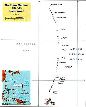 Maug shown as the second-northernmost labeled island among those of the Marianas archipelago
In the place of the ancient volcanic peak is now a deep and spacious natural harbor. Steep cliffs border the islands and the landscape on the north and west islands is dominated by columns of basalt resembling tombstones. Vegetation on the islands consist mostly of grasses with a few coconut palms.
Island Japanese Name Area (km²) Height (m) North Island Kita 0.466 227 East Island Higashi 0.951 215 West Island Nishi 0.711 178 TOTAL 2.128 227 History
During World War II (1939-1945), the islands were used by the Japanese as a manned weather station.
National Monument status
On January 6, 2009, President George W. Bush designated the Maug Islands as part of Marianas Trench Marine National Monument, protecting the area from commercial fishing and other exploitation.
Gallery
-
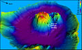
Perspective view of central cone within caldera. Colors indicate depth.
-
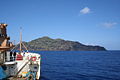
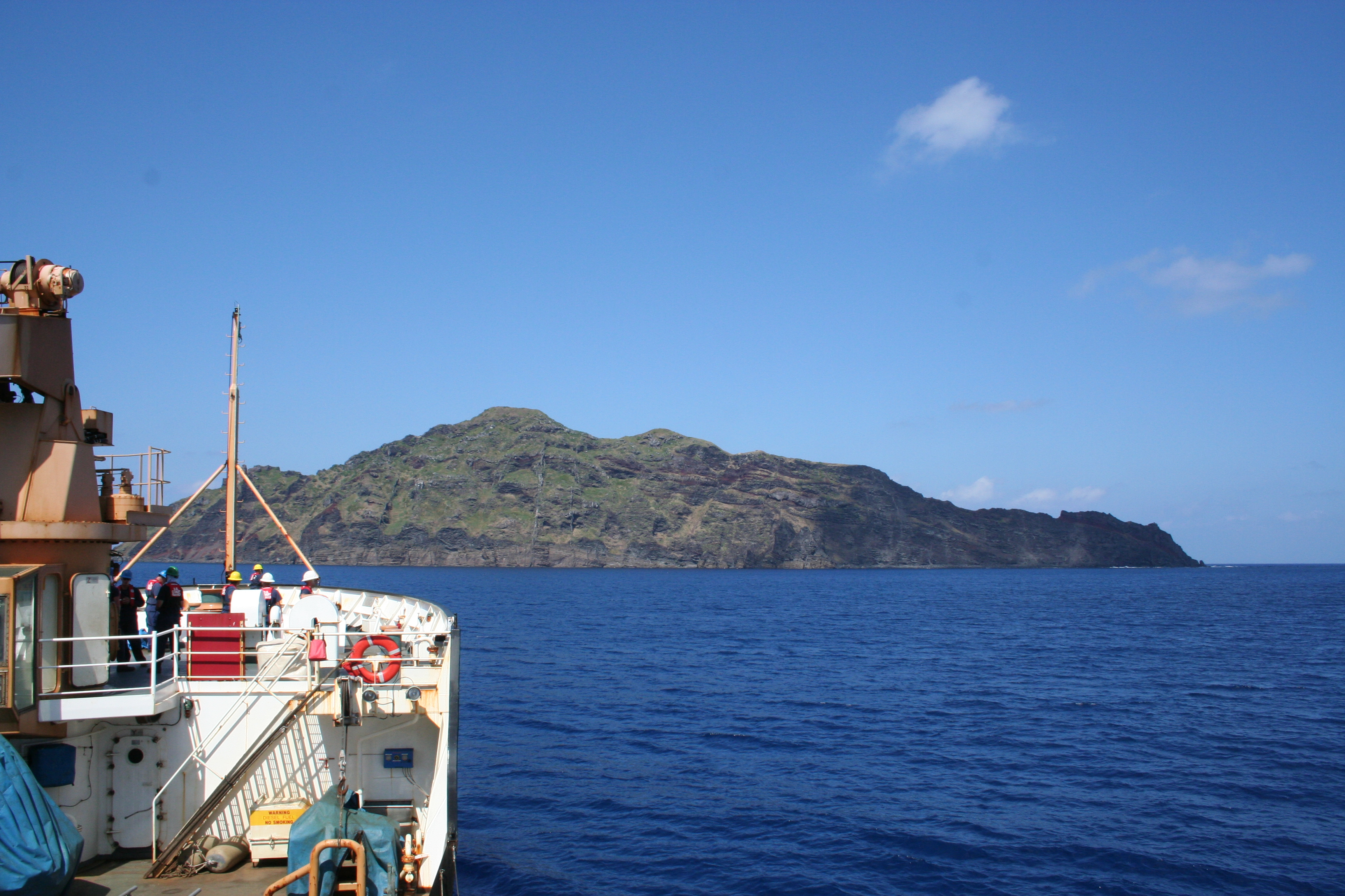
Maug's East Island taken from USCGC Sequoia.
External links
- Pascal Horst Lehne and Christoph Gäbler: Über die Marianen. Lehne-Verlag, Wohldorf in Germany 1972.
- "Maug Islands". Global Volcanism Program, Smithsonian Institution. http://www.volcano.si.edu/world/volcano.cfm?vnum=0804-143.
- Oceandots.com
Former German colonies and protectorates Colonies AfricaPacificNorth AmericaGerman Caribbean

Concessions ChinaUnrecognised Antarctica Commonwealth of Northern Mariana Islands
Topics - The archipelago
- Geography
- Politics
- Economy
- Campaign
- Radio stations
- Television stations
Islands - Agrihan (Agrigan)
- Aguijan (Agiguan)
- Alamagan
- Anatahan
- Asuncion
- Farallon de Medinilla
- Farallon de Pajaros (Uracas)
- Guguan
- Mañagaha
- Maug Islands (Ma'ok)
- Pagan
- Rota (Luta)
- Saipan
- Sarigan
- Tinian
- Zealandia Bank
Municipalities Categories:- Archipelagoes of the Pacific Ocean
- Uninhabited islands of the Northern Mariana Islands
- Volcanic calderas
- Volcanoes of the Northern Mariana Islands
- Northern Mariana Islands stubs
- Oceania geography stubs
-


Wikimedia Foundation. 2010.