- Massachusetts Route 49
-
For the old designation of Route 49, see Massachusetts Route 149.
Route 49
Podunk Pike 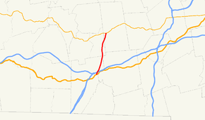
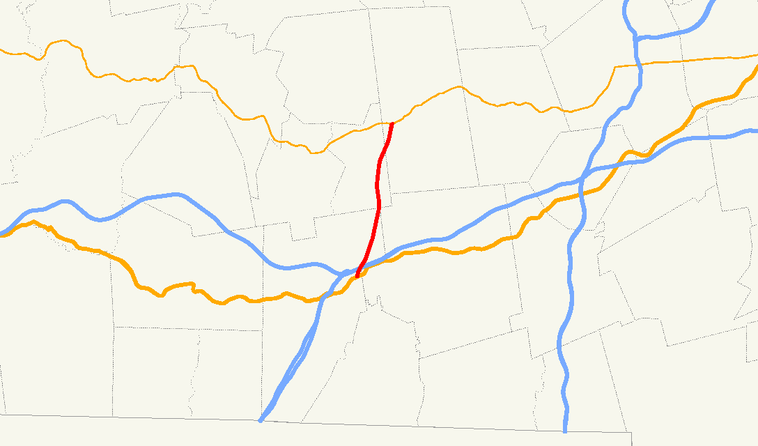
Route information Length: 7.44 mi[1] (11.97 km) Existed: 1972 – present Major junctions South end:  US 20 in Sturbridge
North end:  Route 9 in Spencer
Highway system Massachusetts State Highway Routes
←  Route 47
Route 53  →
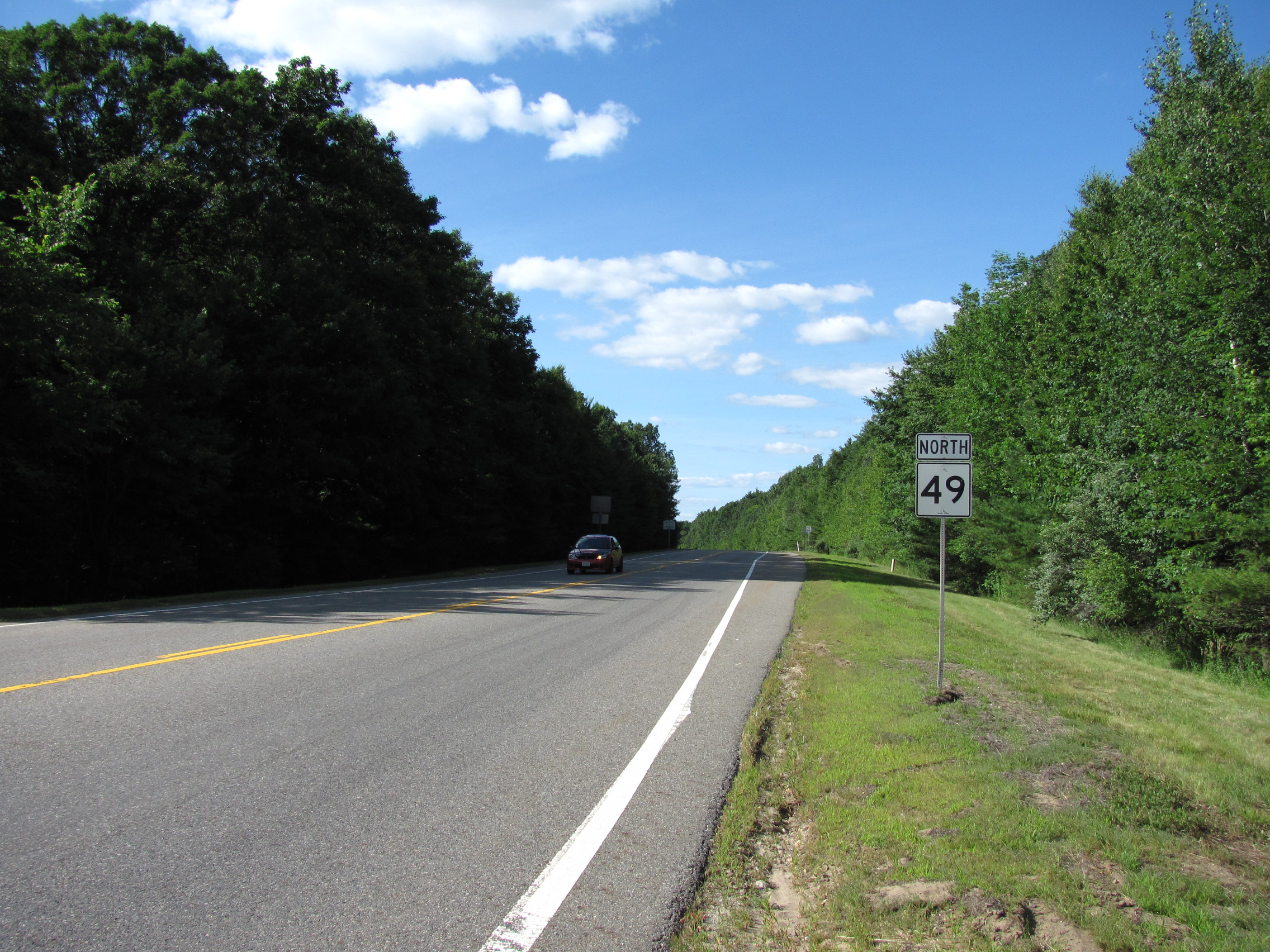
→Route 49 is a 7.44 miles (11.97 km) north-south highway located in Worcester County, Massachusetts. For most of its length, the route is known as the Podunk Pike, named for the section of East Brookfield that it passes through. In Spencer and East Brookfield, the route is officially known as the Philip Quinn Memorial Highway.
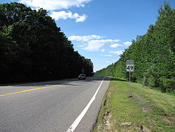

Northbound entering East Brookfield
from SturbridgeRoute description
The route begins at U.S. Route 20 in eastern Sturbridge. The road passes over Interstate 90 (the Mass Pike) about 0.4 miles (0.64 km) north of Route 20, but without an intersection; the nearest access to the Pike is via I-84 to the west. It then clips a small corner of the town of Charlton[2] before continuing through the northeast corner of Sturbridge into East Brookfield. The road crosses just two roads in that town before entering the town of Spencer. The road crosses the Sevenmile River before ending at Route 9, about 1.5 miles (2.4 km) west of that town's center.
References
- ^ Executive Office of Transportation, Office of Transportation Planning - 2007 Road Inventory
- ^ Massachusetts Atlas & Gazetteer, Second Edition. Yarmouth, Maine: DeLorme, 2002, p. 48.
Categories:- Numbered routes in Massachusetts
- Massachusetts road stubs

Wikimedia Foundation. 2010.