- Dalat, Sarawak
-
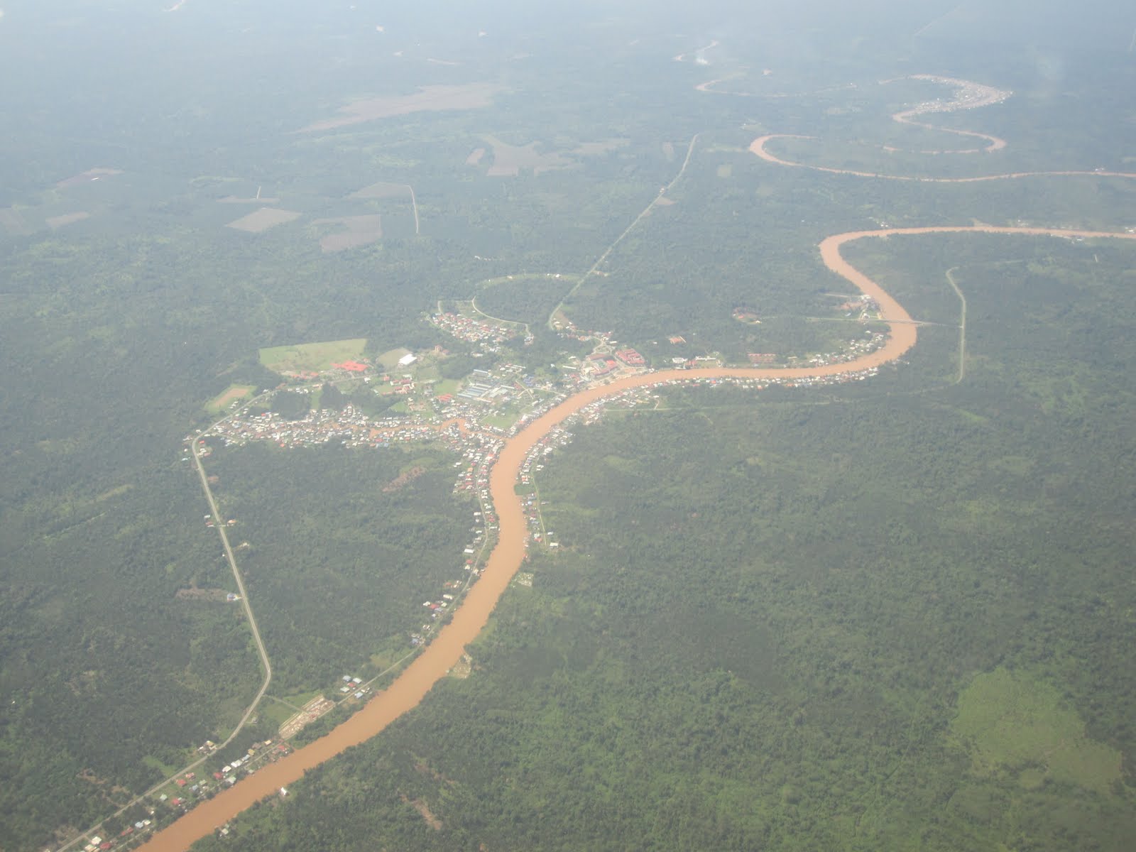
Dalat, Sarawak The aerial view of Dalat town. The great river seen here is the Batang Oya.

Districts of SarawakLocation of Dalat in Malaysian Borneo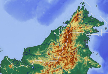
 Dalat, Sarawak
Coordinates: 2°44′20″N 111°56′19″E / 2.73889°N 111.93861°E District Office location Dalat Local area government Majlis Daerah Dalat dan Mukah (MDDM) Area[1] - Total 905.29 km2 (349.5 sq mi) Population (2010[2]) - Total 18,800 - Density 20.8/km2 (53.8/sq mi) District Officer Yussibnosh Balo Sub-district Oya Pekans Dalat, Oya & Sungai Kut Postcode 96300 Dalat is the administrative town of the Dalat district in Mukah Division, Sarawak, East Malaysia. It is situated by the Oya river. The district covers areas from Kg. Penat to Oya, and from Muara Sg. Kut to Ulu Baoh. There are 3 small towns, 23 villages and 22 longhouses in the district[3].
Contents
Infrastructures
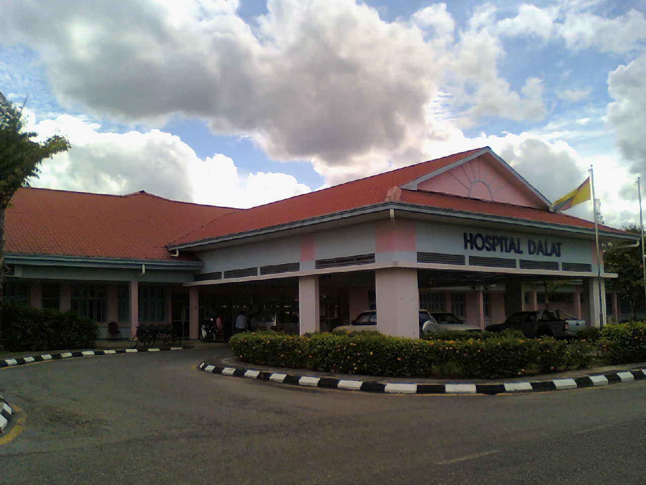
 Hospital Dalat Phase 1
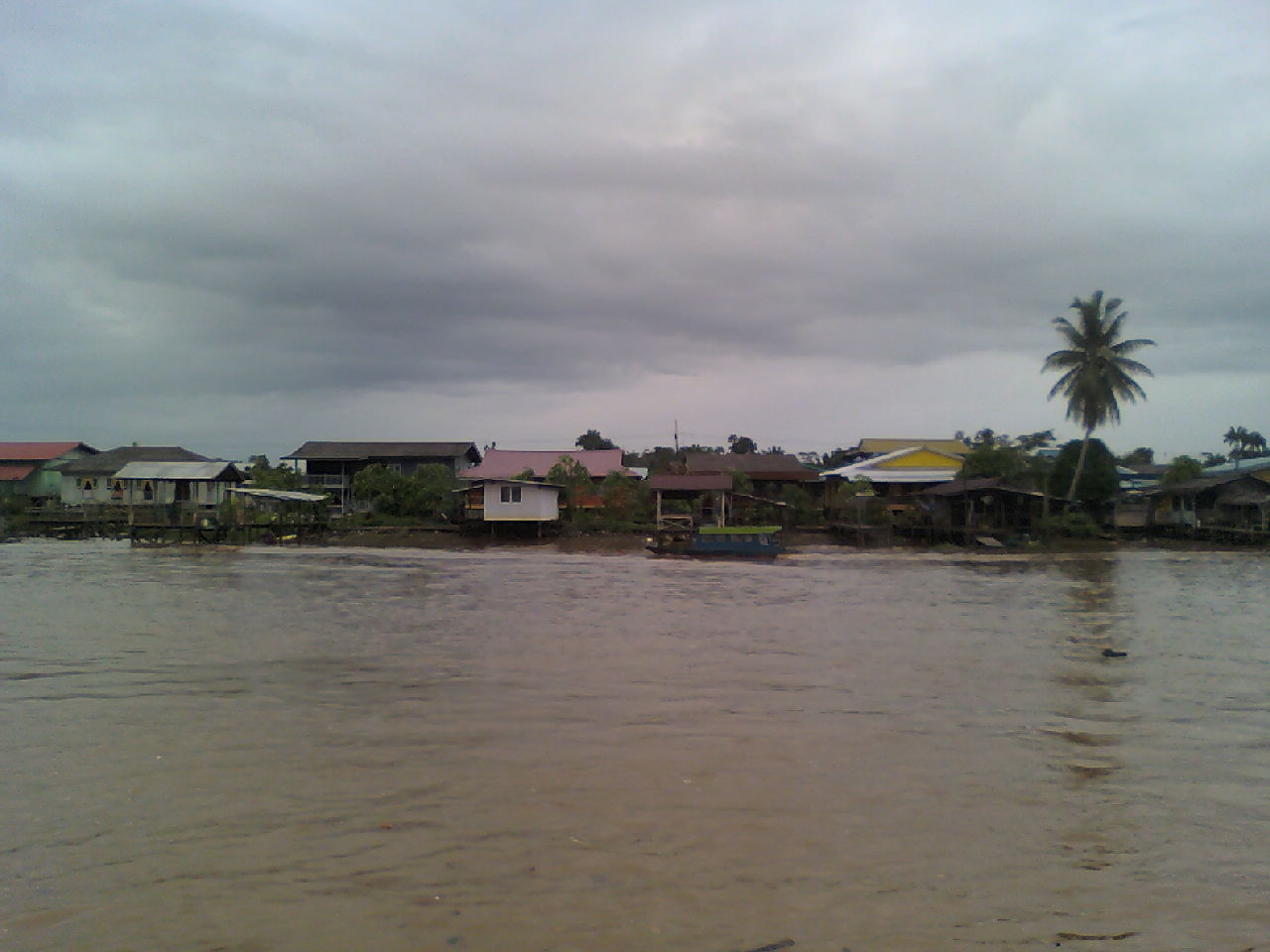
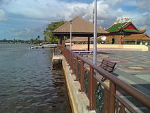 The waterfront by the Oya river as seen in December 2010
Dalat town has one secondary school which is SMK Dalat. Two other secondary schools are SMK Oya, which is located in Oya and SMK Batang Igan, which is located by the Igan river. There are quite a number of primary schools in Dalat. In fact, most villages have their own primary school. Dalat town also has a post office, district office, a hospital, a stadium (Stadium Perpaduan Dalat), a few blocks of shophouses, a Catholic church(St. Bernard Church), a Methodist Church, a Chinese temple (age more than a century), a district mosque and etc. There is also a newly constructed waterfront. Unfortunately, there is only a bank in Dalat, RHB Bank.
Demographics
Majority of the people in Dalat District is of the Melanau ethnicity making up 59.64% of the population. There are also Chinese(4.73%), Iban(33.09%), and others(0.07%)[4].
According to the 2010 National Census, Dalat has a population of 18,800[5], with 1.16%[6] average annual growth rate compared to the census done in 2000.
Languages
Most of the people use the Melanau language to communicate here. There is a slight difference of the language between each villages, yet they can understand each other very well. Other languages such as Malay, Sarawak Malay, Iban, Mandarin, Hokkien and English are also widely spoken.
Religions
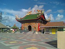 The Chinese temple in Dalat
Main religions practiced in Dalat are Islam, Christianity(Roman Catholic, Methodist and SIB), Buddhism, Malaysian Chinese religion and etc.
Politics
Dalat, N.50 is represented at the State Legislative Assembly by Datin Hajah Fatimah Abdullah @ Ting Sai Ming, from Parti Pesaka Bumiputera Bersatu. She won the seat in the 10th State Election 2011 for the third time. For Parliament, Dalat district is under Parliament 213: Mukah.
Transportation
Dalat is accessible by road. There are daily express bus services connecting Dalat and Miri via Bintulu and Mukah.
The nearest airport is Mukah Airport. The locals however prefer to use either Bintulu Airport or Sibu Airport to fly to Kuala Lumpur particularly.
River transportation is still very vital in Dalat. There are speed boats connecting Dalat and Sibu with a fee of MYR 20. The journey takes approximately 2 hours.
Culture
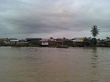 Kg. Brunei, this is how a typical Melanau village looks like in Dalat
The people here particularly the Melanaus are still practicing their culture. The Melanaus are famous for their traditional food such as umai, sago worms and the sago pearls. Also, there is a carnival named Karnival Balau (Balau is the Sago palm in Melanau language) which is held annually, and also a regatta, held few years once. Some major celebrations here are Christmas, Hari Raya Aidilfitri, Chinese New Year and the Kaul Festival. The Kaul Festival is celebrated on different dates for different villages.
Literature
- Heidi Munan's short story 'How Dalat Got Its Name' is published in the book Melanau stories(2005) Utusan Publications and also is used as a short story for English Literature for PMR level in the textbook "Literature Component For Lower Secondary; Short Stories for Form One".
- The Kut Canal and Medong Village also featured in the book Melanau stories(2005), in the story 'The Story of Kut Canal'.
References
- ^ "Visi, Misi dan Latar Belakang". Pejabat Daerah Dalat. http://www.dalatdo.sarawak.gov.my/visimisi.htm. Retrieved 2011-01-28.
- ^ "Laporan Kiraan Permulaan 2010". Jabatan Perangkaan Malaysia. p. 35. http://www.statistics.gov.my/ccount12/click.php?id=2127. Retrieved 2011-01-24.
- ^ "Visi, Misi dan Latar Belakang". Pejabat Daerah Dalat. http://www.dalatdo.sarawak.gov.my/visimisi.htm. Retrieved 2011-01-28.
- ^ "Visi, Misi dan Latar Belakang". Pejabat Daerah Dalat. http://www.dalatdo.sarawak.gov.my/visimisi.htm. Retrieved 2011-01-28.
- ^ "Laporan Kiraan Permulaan 2010". Jabatan Perangkaan Malaysia. p. 35. http://www.statistics.gov.my/ccount12/click.php?id=2127. Retrieved 2011-01-24.
- ^ "Laporan Kiraan Permulaan 2010". Jabatan Perangkaan Malaysia. p. 35. http://www.statistics.gov.my/ccount12/click.php?id=2127. Retrieved 2011-01-24.
External links
- Laman Web Rasmi Majlis Daerah Dalat & Mukah
- Laman Web Rasmi Pejabat Daerah Dalat
- Pictures of Dalat on Flickr
 Sarawak
Divisions Cities Districts Sub-Districts SebauhTowns Asajaya · Ba'kelalan · Bau · Beladin · Betong · Bintangor · Bintulu · Daro · Dalat · Debak · Engkilili · Julau · Kanowit · Kapit · Kota Samarahan · Lawas · Limbang · Lingga · Lubok Antu · Lundu · Maludam · Matu · Mukah · Marudi · Oya · Pakan · Pusa · Saratok · Sebuyau · Selangau · Serian · Serikin · Sibu · Siburan · Simunjan · Spaoh · Sungai Tujuh · Tanjung Kidurong · Tatau · TebeduCategories:- Populated places in Sarawak
- Sarawak geography stubs


Wikimedia Foundation. 2010.