- Crvenka
-
- Also see: Crvenka (disambiguation)
Црвенка
CrvenkaCountry:  Serbia
Subdivision: Vojvodina, West Bačka District, Kula municipality Location: ? Population:
2002
10,315Area code: + 381(0)25 Postal code: 25220 License plates: SO  St. Sava Orthodox Church
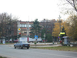 Building in the Town Center.
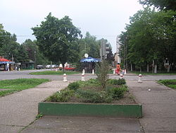 Town center.
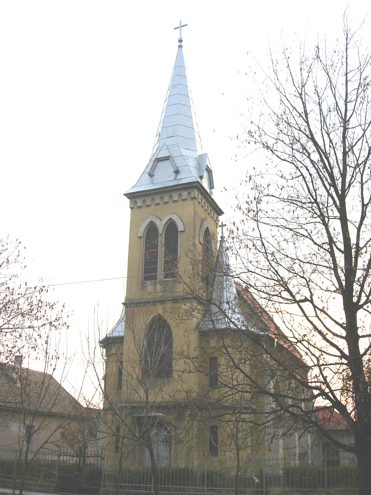
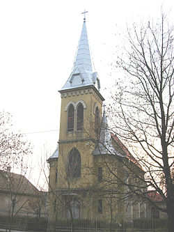 Heart of Jesus Catholic Church.
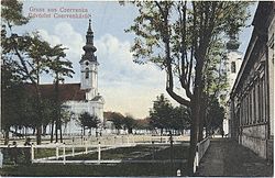 Old Picture of Town.
Crvenka (Црвенка) is a town located in the Kula municipality, in the West Bačka District of Serbia. It is situated in the Autonomous Province of Vojvodina. In 2002, the population of the town numbered 10,315 people.
Contents
Name
In Serbian, the town is known as Црвенка or Crvenka, in Hungarian as Cservenka, and in German as Tscherwenka or Rotweil.
Name of the town derived from the Serbian word "crveno" ("red" in English).
History
Crvenka was firstly mentioned in the 16th century, during Ottoman administration. It was populated by ethnic Serbs and was part of the Sanjak of Segedin and of the Budin Eyalet. In the second half of the 17th century, this area was not populated.
In the end of the 17th century, the region of Bačka was captured by the Habsburg Monarchy and in the second half of the 18th century Crvenka was mentioned as a small settlement. It was colonized by Serbs, Hungarians and Germans. Until the middle of the 19th century, the town was part of the Batsch-Bodrog County within the Habsburg Kingdom of Hungary. In 1848-1849 it was part of the autonomous Serbian Vojvodina and from 1849 to 1860 it was part of the Voivodeship of Serbia and Banat of Temeschwar, an separate Habsburg crownland. After abolishment of the voivodeship in 1860, the town was again included into Batsch-Bodrog County. According to 1910 census, most of the inhabitants of the town spoke German language.
Since 1918, the town was part of the Kingdom of Serbs, Croats and Slovenes (later renamed to Yugoslavia). In 1918-1919, it was part of the Banat, Bačka and Baranja region, and also (from 1918 to 1922) part of the Novi Sad County. From 1922 to 1929, it was part of the Bačka Oblast, and from 1929 to 1941 part of the Danube Banovina.
From 1941 to 1944, Crvenka was under Axis occupation and was attached to the Horthy's Hungary. In 1944, the Soviet Red Army and Yugoslav partisans expelled Axis troops from the region and Crvenka was included into autonomous province of Vojvodina within new socialist Yugoslavia. Since 1945, Vojvodina is part of the People's Republic of Serbia within Yugoslavia. In the end of the World War II, Germans left from Crvenka, which was then populated by 4,383 (mostly Serb and Montenegrin) colonists that originated from Bosnia and Montenegro. In 1948, these colonists comprised 63.7% of population.
Demographics
Ethnic groups
In 2002 the population of Crvenka was 10,163 people, including:
- Serbs = 7,264 (71.48%)
- Montenegrins = 1,313 (12.92%)
- Hungarians = 493 (4.85%)
- Croats = 183 (1.8%)
- Yugoslavs = 156 (1.54%)
- others (including Ukrainians, Pannonian Rusyns, Germans, Roma People, etc)
Historical population
- 1948: 6,879
- 1953: 7,797
- 1961: 9,369
- 1971: 10,098
- 1981: 10,629
- 1991: 10,409
- 2002: 10,315
Politics
There is an initiative among inhabitants of Crvenka that this settlement should become its own municipality. Long time Major of Crvenka, Hercen Radonjic - Keka, is running a local Green Party.
Economy
Crvenka is a small town with a very strong economy, especially industry and agriculture.
Here is a list of the most important companies from Crvenka:
- Sugar Factory Crvenka (Crvenka Fabrika Šećera a.d. / EBZ) [1]
- The Jaffa Biscuit Company [2]
- Alcohol and Beverage Factory Panon AD [3]
- FSH Crvenka AD
- Jedinstvo IGM Crvenka [4]
- SIGMA d.o.o
- ALTER EGO d.o.o [5]
- DP Zaliv d.o.o. [6]
- ZZ Novo
- BXB d.o.o
- Permak d.o.o [7]
Sport
Crvenka has a very famous handball club, named RK Crvenka [8]. There is also football team, FK Crvenka, with a long tradition. Crvenka is also well famous by chess (club is SK MILJO VUJOVIC Crvenka) and karate.
Site about sport in Crvenka: [9]
See also
- List of places in Serbia
- List of cities, towns and villages in Vojvodina
Photo Gallery
-
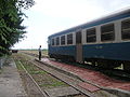
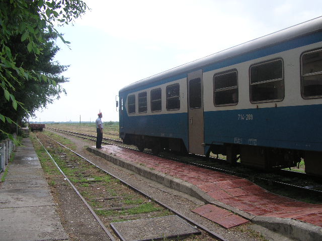
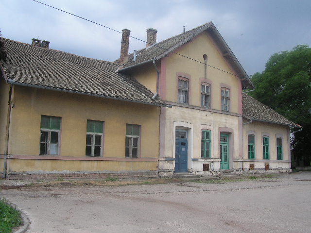
Railway
-

Railway Station
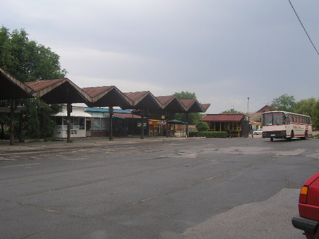
-
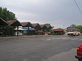
Bus Station
-

Town Center
References
- Slobodan Ćurčić, Broj stanovnika Vojvodine, Novi Sad, 1996.
- Slobodan Ćurčić, Naselja Bačke - geografske karakteristike, Novi Sad, 2007.
External links
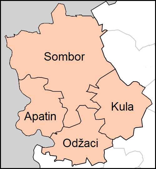
Cities, towns and villages in the West Bačka District Sombor Aleksa Šantić · Bački Breg · Bački Monoštor · Bezdan · Gakovo · Doroslovo · Kljajićevo · Kolut · Rastina · Riđica · Svetozar Miletić · Stanišić · Stapar · Telečka · Čonoplja
Apatin Kula Odžaci bold are municipalities Coordinates: 45°39′31″N 19°27′20″E / 45.65861°N 19.45556°E
Categories:- Vojvodina geography stubs
- Places in Bačka
- Populated places in Vojvodina
- West Bačka District
- Kula (Serbia)


Wikimedia Foundation. 2010.