- Northorpe
-
Coordinates: 52°44′39″N 0°22′33″W / 52.744294°N 0.375836°W
Northorpe 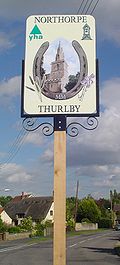
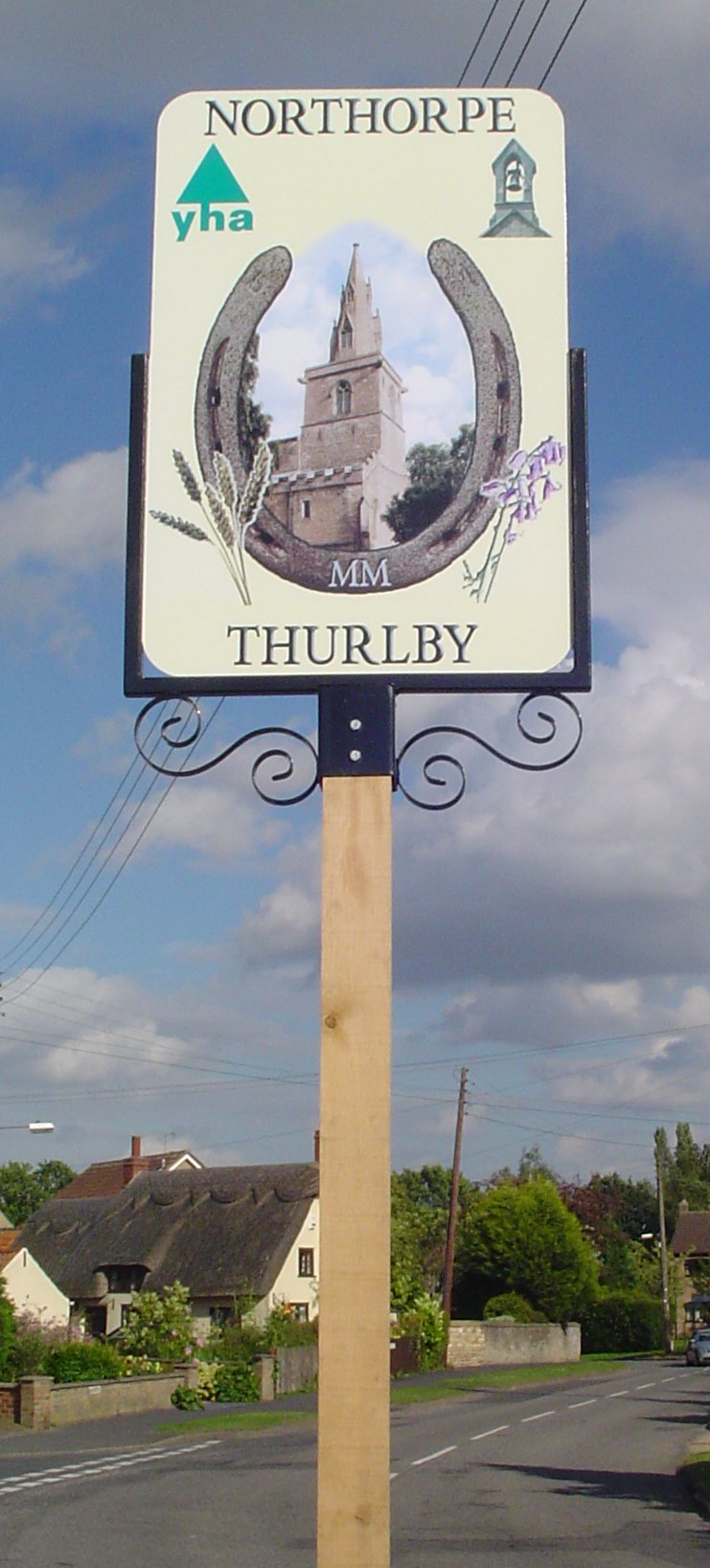
Northorpe sign
 Northorpe
Northorpe shown within LincolnshireOS grid reference TF097175 District South Kesteven Shire county Lincolnshire Region East Midlands Country England Sovereign state United Kingdom Postcode district PE10 0 Police Lincolnshire Fire Lincolnshire Ambulance East Midlands EU Parliament East Midlands UK Parliament Grantham and Stamford List of places: UK • England • Lincolnshire Northorpe is a growing hamlet in the parish of Thurlby, in South Kesteven, southern Lincolnshire and is about a mile south of Bourne.
Northorpe is near to Elsea and Math Woods, the latter of which is rumored to be haunted by Nanny Rutt, but they are still popular places in which to walk dogs. It lies on the bus route between Bourne and Peterborough and a Delaine bus runs every half an hour along the A15. The village also has a post box and a phone box. The village is connected to the National Grid; work was completed in November 2006 after a campaign by local residents in 1997-1998 which resulted in the approval for the work to be done.
The village may also be famous for its wonderful shoe display competition which is held every July on the common green. Every year locals are given the chance to design a shoe. The village cobblers will produce shoes from the winning design. The fair has been under threat in recent years as the cobbler trade is struggling.
The village was perhaps most famous for its extensive goat farm which used to produce some of the most popular goat's cheese in south Lincolnshire but this has now closed.
See also
- Northorpe in South Holland near Donington.
- Northorpe in West Lindsey near Gainsborough.
- Northorpe in West Yorkshire.
External links
Categories:- Villages in Lincolnshire
- South Kesteven
- Lincolnshire geography stubs

Wikimedia Foundation. 2010.