- Magdalena del Mar
-
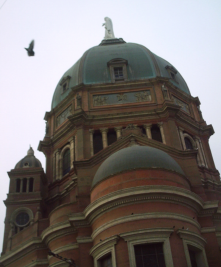
Magdalena del Mar — District — Corazón de María Church
Coat of armsLocation of Magdalena del Mar in the Lima province
Coordinates: 12°06′S 77°05′W / 12.1°S 77.083°WCoordinates: 12°06′S 77°05′W / 12.1°S 77.083°W Country  Peru
PeruRegion Lima Province Lima Founded May 10, 1920 Capital Magdalena del Mar Subdivisions 1 populated center Government - Mayor Francis James Allison Oyague Area - Total 3.61 km2 (1.4 sq mi) Elevation 58 m (190 ft) Population (2005 census) - Total 48,445 - Density 13,419.7/km2 (34,756.8/sq mi) Time zone PET (UTC-5) UBIGEO 150120 Website munimagdalena.gob.pe Magdalena del Mar, commonly known simply as Magdalena, is a seaside district of the Lima Province in Peru and one of the districts that comprise the city of Lima. Its current mayor is Francis James Allison Oyague. Magdalena was officially established as a district on May 10, 1920.
Geography
With a total land area of 3.61 km², Magdalena borders the districts of San Miguel on the west, Pueblo Libre and Jesús María on the north, San Isidro on the east, and the Pacific Ocean on the south.
For more than fifty years, the eastern border of the district has been disputed with neighboring San Isidro. A judge ordered the councils of both districts to deposit the money of the affected areas' taxpayers in the National Bank of Peru until this long-standing conflict is resolved.
Demographics
According to a 2002 estimate by the INEI, the district has 52,976 inhabitants and a population density of 14,674.8 persons/km².
External links
- (Spanish) Municipalidad Distrital de Magdalena del Mar - Magdalena del Mar District council official website
Lima and Callao Metropolitan Area Culture · History · Landmarks · Notable people · Mayors · Other elected officials · Transportation Districts Central Lima Breña · La Victoria · Lima · Rimac South Central Lima Barranco · Jesús María · La Molina · Lince · Magdalena · Miraflores · Pueblo Libre ·San Borja · San Isidro · San Miguel · Santiago de Surco · Surquillo Cono Este Ate · Cieneguilla · Chaclacayo · El Agustino · Lurigancho (Chosica) · San Juan de Lurigancho · San Luis · Santa Anita Cono Norte Ancón · Carabayllo · Comas · Independencia · Los Olivos · Puente Piedra · San Martin de Porres · Santa Rosa Cono Sur Chorrillos · Lurín · Pachacamac · Pucusana · Punta Hermosa · Punta Negra · San Bartolo · San Juan de Miraflores · Santa María del Mar · Villa el Salvador · Villa María del Triunfo Callao Bellavista · Callao District · Carmen de la Legua Reynoso· La Perla · La Punta · Ventanilla Categories:- Peru geography stubs
- Districts of Lima

Wikimedia Foundation. 2010.