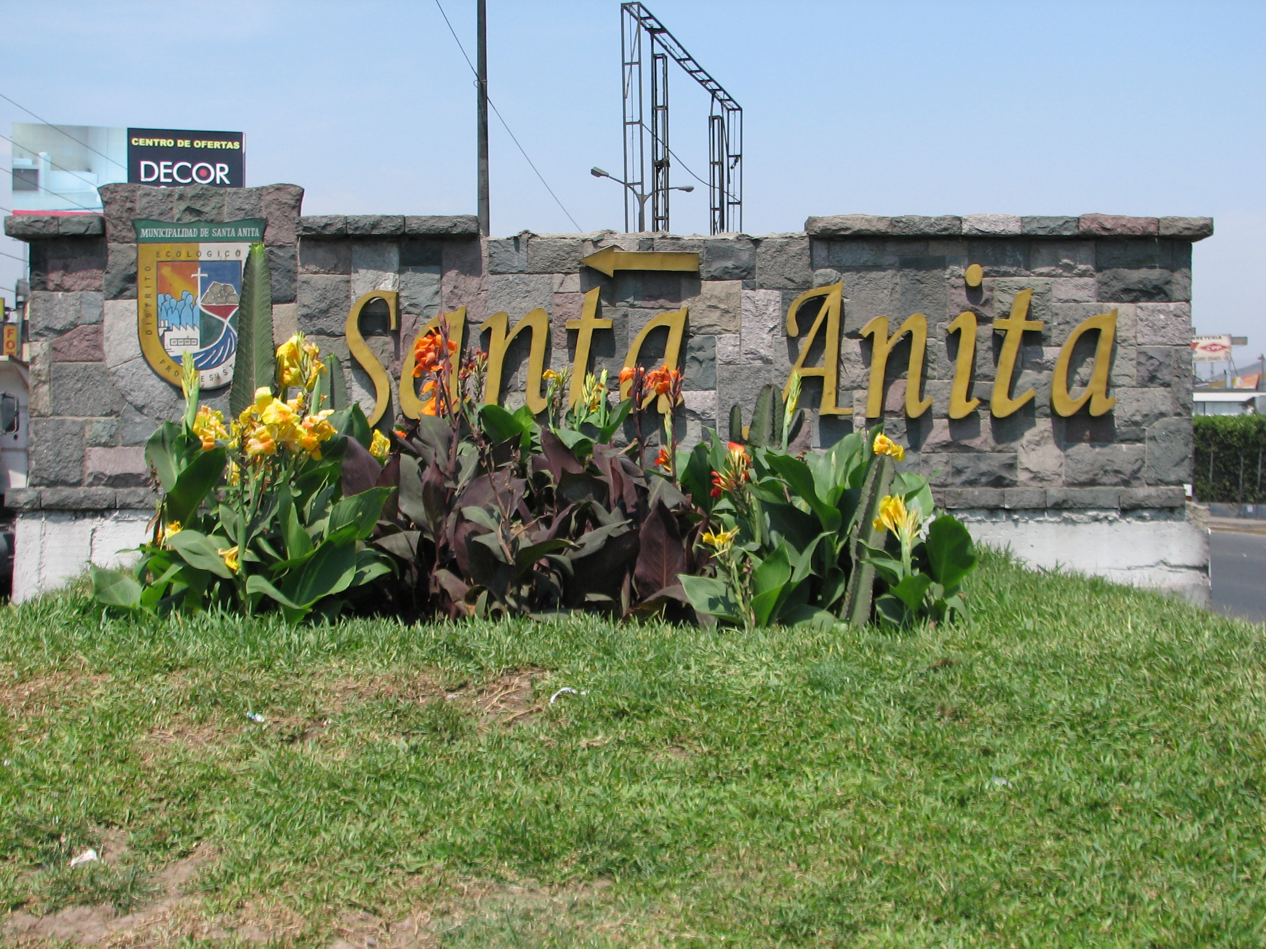
- Santa Anita District
Infobox District Peru
district = Santa Anita
image_size =
image_caption =
cofarms = COA Santa Anita District in Lima Province.png
region =
province = Lima
founded =October 25 1989
capital = Santa Anita
elevation = 195
hamlets = 1 populated center
ubigeo = 150137
pop = 160,777
density = 15,039.9
area = 10.69
mayor = Osiris Feliciano Muñoz
web = www.munisantanita.gob.peSanta Anita is a district of the
Lima Province inPeru . It is part of city ofLima .Officially established as a district onOctober 25 ,1989 from parts of Ate andEl Agustino separated by the "Rio Surco", a ditch which went all the way toSantiago de Surco . The currentmayor ("alcalde ") of Santa Anita is Osiris Feliciano Muñoz. The district'spostal code is 43.The core sections of Santa Anita are: Santa Anita proper, originally a section of Ate; and Los Ficus and Universal, originally sections of El Agustino. Industrial areas to the east of Santa Anita and Universal mark the boundary with Ate.Geography
The district has a total land
area of 10.69 km². Its administrative center is located 195 meters abovesea level .Boundaries
* North:
El Agustino and Ate
* East: Ate
* South: El Agustino and Ate
* West: El AgustinoDemographics
According to a
2002 estimate by the INEI, the district has 154,359 inhabitants and a population density of 14,439.6 persons/km². In1999 , there were 27,908 households in the district.External links
* [http://www.munisantanita.gob.pe Municipal website]
Wikimedia Foundation. 2010.
