- Les Contamines-Montjoie
-
Les Contamines-Montjoie

 Les Contamines-Montjoie
Administration Country France Region Rhône-Alpes Department Haute-Savoie Arrondissement Bonneville Canton Saint-Gervais-les-Bains Mayor Jean Louis MOLLARD
(2008–2014)Statistics Elevation 990–3,880 m (3,250–12,730 ft)
(avg. 1,164 m/3,819 ft)Land area1 43.55 km2 (16.81 sq mi) Population2 1,211 (2006) - Density 28 /km2 (73 /sq mi) INSEE/Postal code 74085/ 74170 1 French Land Register data, which excludes lakes, ponds, glaciers > 1 km² (0.386 sq mi or 247 acres) and river estuaries. 2 Population without double counting: residents of multiple communes (e.g., students and military personnel) only counted once. Coordinates: 45°49′21″N 6°43′48″E / 45.8225°N 6.73°E
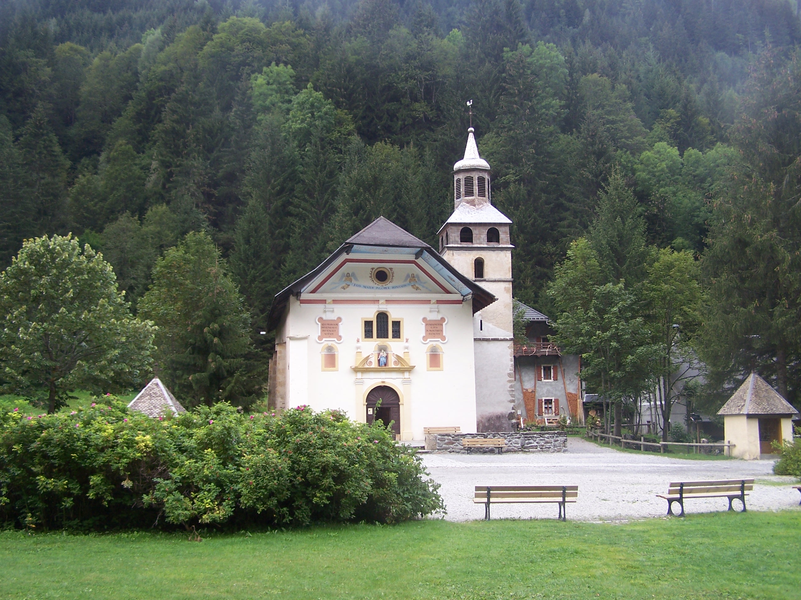
 Notre-Dame-de-la-Gorge Church near Les Contamines-Montjoie
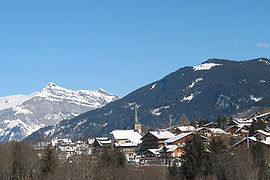
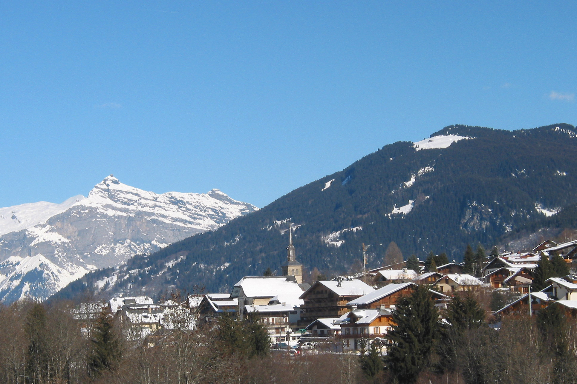
Les Contamines-Montjoie is a commune in the Haute-Savoie department in the Rhône-Alpes region in south-eastern France.
Contents
History
The history of Les Contamines : The name of the village originates from ancient local dialect. The word "Contamines", derived from Latin condominium through condaminium, once meant ploughable land on the squires estate.
Important dates 1760: Birth of an independent parish (detached from the parish of Saint-Nicolas de Véroce) 1850: Creation of the local Mountain Guides Company 1900: Development of the first tourist infrastructures, hotels etc. 1911: Creation of the local ski club 1937: Creation of the first ski lift 1949: Les Contamines is renamed Les Contamines-Montjoie 1952: Creation of the first chair-lift and the summer playground at l'Etape. 1971: Development of Bellevue, La Ruelle and the Col du Joly.
Location
Les Contamines Montjoie is located in the French Alps. It is approximately 1 1/4 hrs from the aeroport of Geneva which is convenient and 15 mn from the Le FAyet St Gervais Railway station (highspeed trains) and from the A40 Autoroute (exit 21). Les Contamines is located in between the well known resorts of Chamonix and Megève, it is close to Mont Blanc which means that it is used for both mountain climbing in the Summer and skiing in the Winter. Its proximitiy to Chamonix means that access to Italy is easy via the Mont Blanc Tunnel.
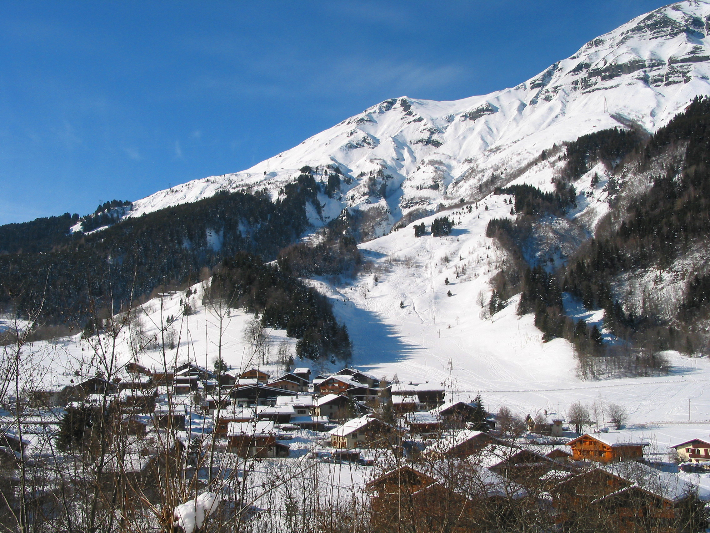
Aspect of the village
The village of Les Contamines is a jewel at the heart of the Mont Blanc region. The sensation of a hidden valley results in a very close knit local community. The village has preserved its historic aspect. More than 70% of old farm buildings have been restored in respect of the local Savoy architecture.
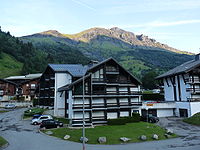 The peak of Mont Joly from the village. It is a typical demonstration of the surrounding terrain
The nature reserve
Created in 1979, the nature reserve covers more than 5, 500 hectares of varied terrain rising from 1 000 to 3 900 meters high and covering forests, pastures, torrents, rocks, snow fields and glaciers. A local association ensures a link between the reserve and the general public. The information centre, located in the village centre, proposes various activities for all age groups.
Ski resort
 Mont Joly
Les Contamines Montjoie main industry is tourism through its Skiing Area which is moderately sized. It ranges from the village at around 1100m to l'Aiguille Croche at around 2500m. There are four sections of the ski area: The Tierces section, the Roselette section, the Montjoie section and the Hauteluce section.
The Tierces section is south facing, it is the highest section of the resort and possesses the resorts hardest black runs: Grevettaz and Rebans. The Tierces section also has easier blue and red runs such as Coins (blue) and Tierces (red). From most places in the Tierces section one can see (weather permitting) a vivid panorama of Mont Blanc and its neighbouring peaks including Aiguille de Bionnassay and Domes de Miage.
The Roselette section is a north facing section of ski runs which range from blue to black, the hardest run in this section is the black of Olympique. The Aiguille de Rosselette towers over the majority of the section giving it its name. There is off piste potential in the steep couloirs of the Aiguille de Rosselette.
The Hauteluce section is the name given to the section of runs on the other side of the Col du Joly in the Val Joly (rather than the Val Montjoie) the run difficulty is varied in this section.
The Montjoie section is the name used to describe the lower runs.
See also
References
External links
- Les Contamines - Tourist Office - Summer and Winter activities
- Website of the commune of Les Contamines-Montjoie
- Les Contamines - Ski Station Website
- Hiking and climbing in Les Contamines
Categories:- Ski areas and resorts in France
- Communes of Haute-Savoie


Wikimedia Foundation. 2010.