- Châtel, Haute-Savoie
-
Châtel

 Châtel
Administration Country France Region Rhône-Alpes Department Haute-Savoie Arrondissement Thonon-les-Bains Canton Abondance Mayor Philippe Thoule
(2001–2008)Statistics Elevation 1,053–2,430 m (3,455–7,970 ft)
(avg. 1,183 m/3,881 ft)Land area1 32.19 km2 (12.43 sq mi) Population2 1,282 (2006) - Density 40 /km2 (100 /sq mi) INSEE/Postal code 74063/ 74390 1 French Land Register data, which excludes lakes, ponds, glaciers > 1 km² (0.386 sq mi or 247 acres) and river estuaries. 2 Population without double counting: residents of multiple communes (e.g., students and military personnel) only counted once. Coordinates: 46°16′03″N 6°50′30″E / 46.2675°N 6.8417°E
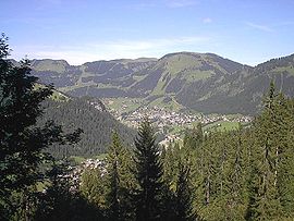
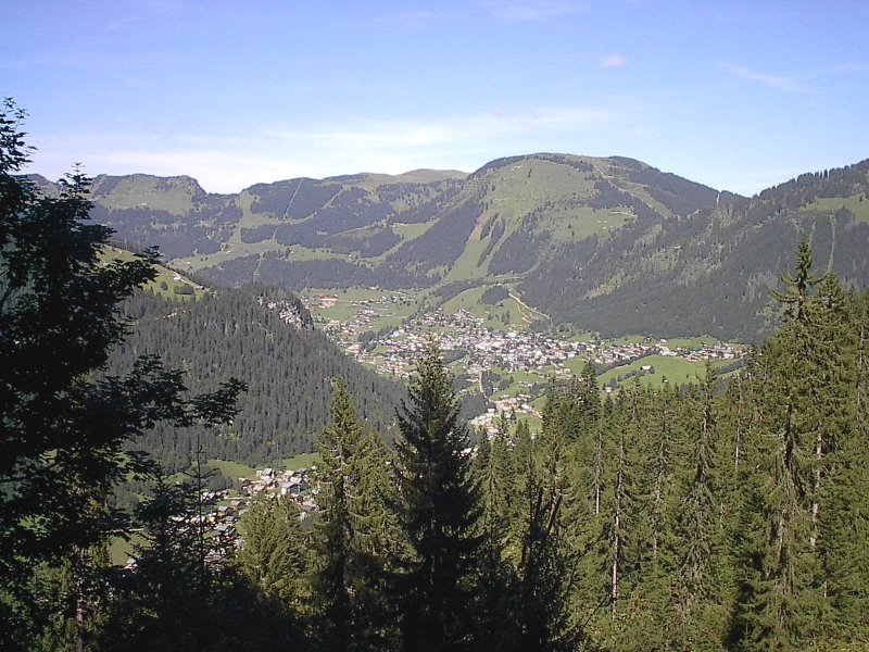
Châtel is a commune in the Haute-Savoie department in the Rhône-Alpes region in south-eastern France.
It is situated in the northern French Alps on the French/Swiss border and is a popular ski resort. Despite its development into a major ski resort, the village still retains many of its traditional alpine characteristics.
Contents
Geography
Nearby towns include Morzine, Avoriaz, and Morgins.
Ski
Châtel has an extensive ski area with runs to suit skiers and boarders of all abilities. The whole village is served by a free ski-bus which gives easy access to ski lifts.
The resort is also part of the vast Portes du Soleil domain - the largest international linked ski area in the world with over 650 km of varied terrain spread across eight French and four Swiss resorts. This gives skiers and boarders an almost endless choice of runs on their doorstep.
Summer activities
Although famous as a winter destination, Châtel is also a very popular mountain bike resort with the ski lifts opening between June and September for cyclists. Other attractions over the summer months include numerous activities such as windsurfing and sailing (on nearby Lake Geneva), white-water rafting, kayaking, paragliding, walking or simply relaxing in the sun.
More activities also include the Fantasticable, a zip-line extending between two mountain peaks, spanning the valley of pre-la-joux, over the ski lifts and the restaurants at Plaine Dranse. It is only active during the summer season.
In August Chatel celebrates both the Fete St Laurent and the Fete Belle Dimanche. St laurent is the patron saint of Chatel and the village assumes a carnival atmosphere with floats and live entertainment. Belle Dimanche is the farmers tribute to the "beautiful sunday" and is held up in the Plaine Dranse up from the ski lift Pierre Long.
References
External links
Categories:- Communes of Haute-Savoie
- Ski areas and resorts in France
- Haute-Savoie geography stubs

Wikimedia Foundation. 2010.