- Chilly, Haute-Savoie
-
Chilly
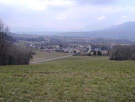
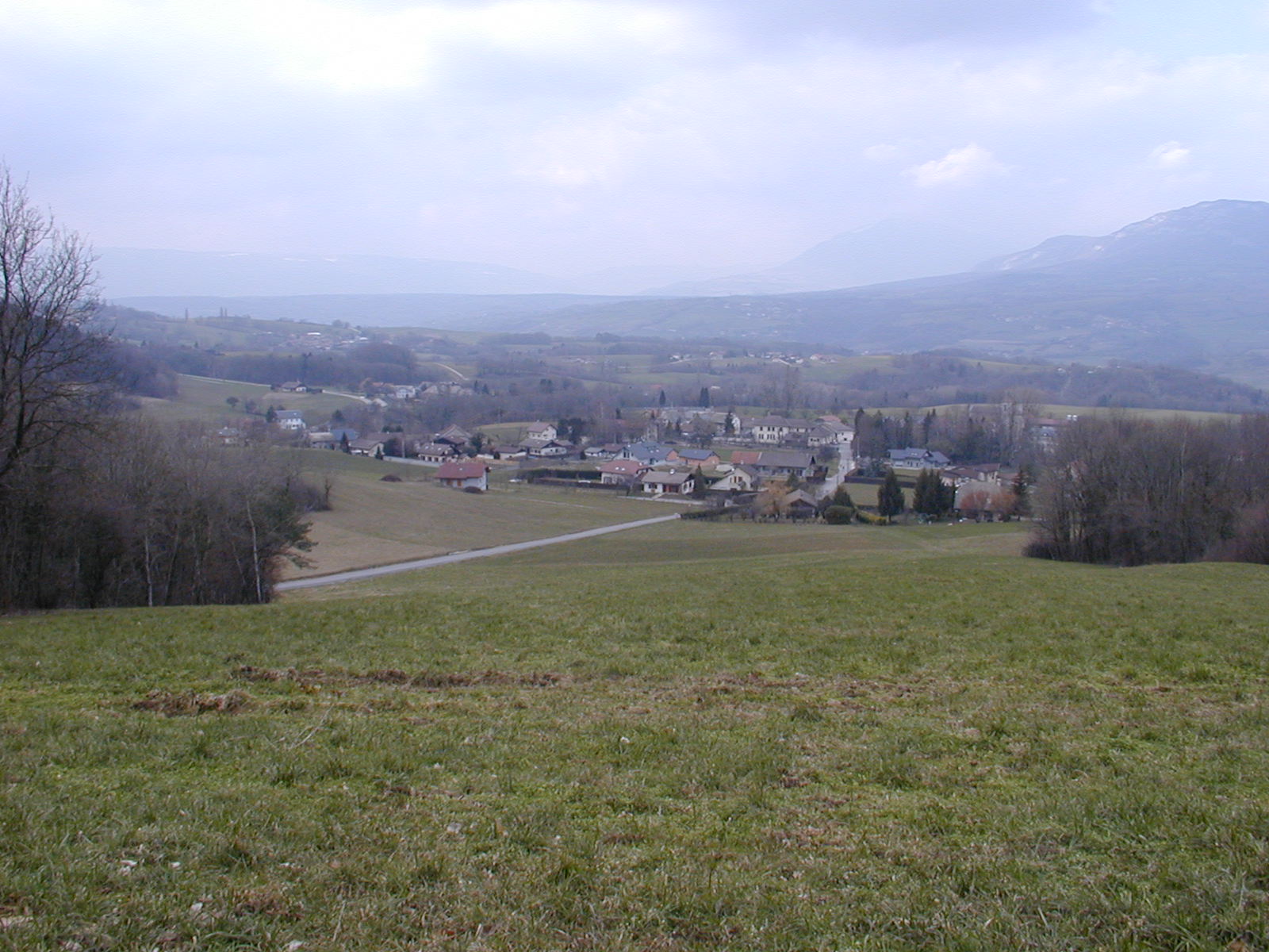
Vue du chef-lieu de Chilly 
 Chilly
Administration Country France Region Rhône-Alpes Department Haute-Savoie Arrondissement arrondissement de Saint-Julien-en-Genevois Canton Canton of Frangy Intercommunality Communauté de communes du Val des Usses Mayor Georges Bouverot
(2008–2014)Statistics Elevation 327–730 m (1,073–2,400 ft) Land area1 18.58 km2 (7.17 sq mi) Population2 939 (1999) - Density 51 /km2 (130 /sq mi) INSEE/Postal code 74075/ 74270 1 French Land Register data, which excludes lakes, ponds, glaciers > 1 km² (0.386 sq mi or 247 acres) and river estuaries. 2 Population without double counting: residents of multiple communes (e.g., students and military personnel) only counted once. Coordinates: 45°59′33″N 5°57′13″E / 45.9925°N 5.95361111111°E
Chilly is a commune in the Haute-Savoie department in the Rhône-Alpes region in south-eastern France.
The commune includes the hamlets of Botilly, Coucy, Curnillex, Darogne, Ferraz, Grange bouillet, Lacry, Les vernays, Mannecy, Mougny, Novéry, planaise, Quincy et Vers grange.
See also
References
Categories:- Communes of Haute-Savoie
- Haute-Savoie geography stubs

Wikimedia Foundation. 2010.