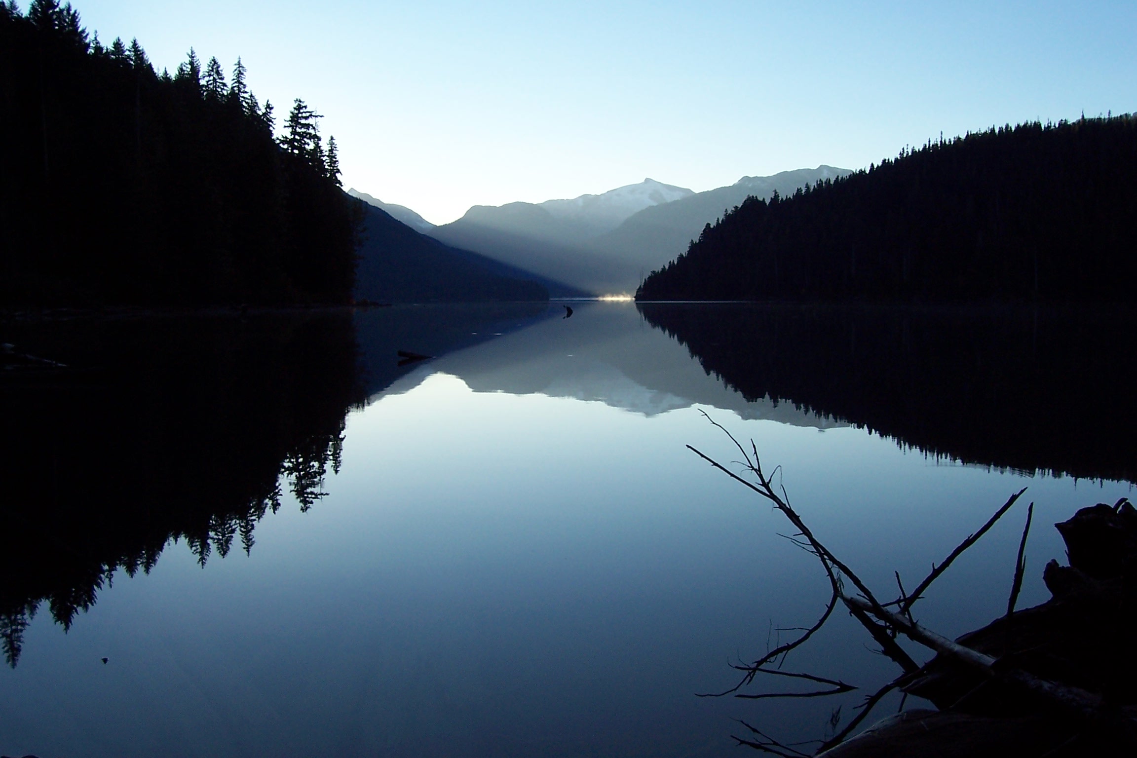
- Cheakamus Lake
-
Cheakamus Lake 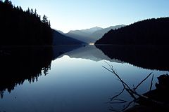
Location British Columbia Coordinates 50°0′29.1″N 122°55′10.2″W / 50.008083°N 122.9195°WCoordinates: 50°0′29.1″N 122°55′10.2″W / 50.008083°N 122.9195°W Primary inflows Castle Towers Creek, Cheakamus River, Singing Creek, Primary outflows Cheakamus River Basin countries Canada Surface area 5.7 km² (2.2 mi²) Surface elevation 2730 ft Islands None Settlements None Cheakamus Lake is a lake in Garibaldi Provincial Park on the southeastern outskirts of the resort municipality of Whistler, British Columbia. It has an area of 5.7 km² (2.2 mi²). It is an expansion of the upper Cheakamus River, with the river entering it at its east end and exiting at the west end.[1]
In 2005, 40,000 litres of sodium hydroxide was spilled into the Cheakamus River, well downstream of the lake, as a result of a CN train derailment.[2]
References
- ^ "Cheakamus Lake". BC Geographical Names. http://apps.gov.bc.ca/pub/bcgnws/names/4977.html.
- ^ CN faulted for Squamish derailment, The Globe and Mail
Hydrography of British Columbia Rivers Lakes Coastal features Categories:- Lakes of British Columbia
- Sea to Sky Country
- British Columbia Interior geography stubs
Wikimedia Foundation. 2010.