- New Jersey Route 129
-
Route 129
Canal Boulevard Route information Maintained by NJDOT Length: 2.41 mi[2] (3.88 km) Existed: September 1993[1] – present Major junctions South end: Lamberton Road in Hamilton Township  Route 29 in Hamilton Township
 US 206 in Trenton
North end:  US 1 in Trenton
Highway system New Jersey State Highway Routes
Interstate and US←  Route 124
US 130  →
→Route 129 is a major arterial boulevard state highway in the capital city of Trenton, New Jersey. The highway runs along Canal Boulevard, a four-lane arterial through portions of Trenton, serving as an alternative highway to its parent, Route 29. The route begins at an intersection with Lamberton Road in Hamilton Township, heads northward along the River Line maintained by New Jersey Transit until terminating at an interchange with U.S. Route 1 (the Trenton Freeway).
The original use of Route 129 opened in 1961 on what is now Interstate 95 from the Scudders Falls Bridge to Scotch Road in Trenton. The route was replaced in 1974 by Interstate 95, while the route's current incarnation opened in September 1993 along a former portion of the Delaware and Raritan Canal. The route has remained virtually untouched since its opening.
Contents
Route description
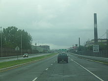 Route 129 heading northbound through Trenton near Cass Street
Route 129 begins at an intersection with Lamberton Road on the Delaware River in Hamilton Township. The highway proceeds northward, passing through small fields and tree patches until reaching railroad tracks, where the route turns to the northwest, paralleling its parent, the Route 29 Freeway to the west. Route 129 then becomes a divided highway, intersecting with an onramp to Route 29 and passing to the east of a large factory. From there, the highway merges back together and comes upon a full interchange with Route 29. Route 129 itself continues along the railroad tracks on Canal Boulevard, entering the city of Trenton, where it becomes a divided highway once again.[3]
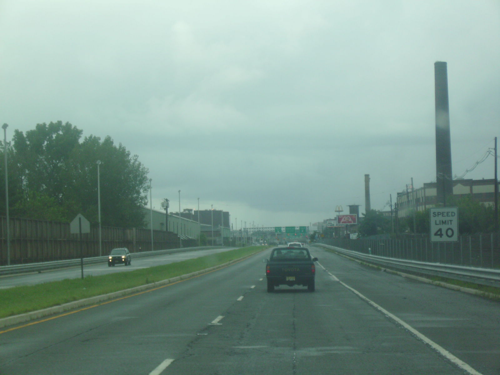
At an intersection with Mercer County Route 650 (Lalor Street), Route 129 develops a grassy median and heads along the industrial portion of the city. With New Jersey Transit's River Line paralleling the highway, the state road serves access to large factories, a large residential district and a train station between Lalor Road and Cass Street. Route 129 continues northward along Canal, crossing under U.S. Route 206 (South Broad Street) with a southbound exit to that road. It crosses Hamilton Avenue before reaching an interchange with U.S. Route 1, where Route 129 ends and Canal Boulevard's right of way merges into the Trenton Freeway.[3]
History
Route 129 originates as the earliest designation on a freeway from the Scudders Falls Bridge on the Delaware River to the interchange with Scotch Road, which opened in 1961. At that point, the new freeway was proposed with an eastward extension to U.S. Route 1. However, by 1974, Route 129 was re-designated as a portion of Interstate 95,[4] and is now considered Route 95M.[5] The current incarnation of Route 129 was constructed along a former portion of the Delaware and Raritan Canal as an alternate arterial boulevard to Route 29 that opened in September 1993 from Lamberton Road to U.S. Route 1 at a cost of $24.185 million (1993 USD) by the George Harms Construction Company.[1] The route has remained virtually untouched since.[2]
Major intersections
The entire route is in Mercer County.
Location Mile Destinations Notes Hamilton Township 0.00 Lamberton Road Southern terminus of Route 129 0.59 
 Route 29 south to I-195 / I-295 – Shore Points, Camden
Interchange Trenton 1.87 US 206 (South Broad Street) – ChambersburgSouthbound exit 2.41 US 1 northInterchange, northern terminus of Route 129 1.000 mi = 1.609 km; 1.000 km = 0.621 mi See also
 U.S. Roads portal
 New Jersey portal
References
- ^ a b "NJDOT Route 129 Sections 10A and 11A". Farmingdale, New Jersey: George Harms Construction Company Inc.. 2009. http://www.ghcci.com/proj_rt_129.php. Retrieved October 30.
- ^ a b "Route 129 straight line diagram". New Jersey Department of Transportation. http://www.state.nj.us/transportation/refdata/sldiag/00000129__-.pdf. Retrieved October 19, 2009.
- ^ a b Bing Maps (2009). Overview map of Route 129 (Map). Cartography by NAVTEQ Inc.. http://www.maps.bing.com/maps/default.aspx?v=2&FORM=LMLTCP&cp=qpxqkk8s409k&style=b&lvl=1&tilt=-90&dir=0&alt=-1000&phx=0&phy=0&phscl=1&scene=20860101&rtp=pos.40.1840829849243_-74.7471933066845_near%20Lamberton%20Rd%2C%20Trenton%2C%20New%20Jersey%2008611%2C%20United%20States__~pos.40.2008602023125_-74.7534401714802_near%20Canal%20Blvd%2C%20Trenton%2C%20New%20Jersey%2008611%2C%20United%20States__~pos.40.2170822024345_-74.7571959346533_near%20Ramp%2C%20Trenton%2C%20New%20Jersey%2008611%2C%20United%20States__&rtop=0~0~0&encType=1. Retrieved October 30, 2009.
- ^ Alpert, Steve; Moraseski, Dan (2009). "NJ 129". Alps Roads. http://www.alpsroads.net/roads/nj/log/8.html#129. Retrieved October 30, 2009.
- ^ "Route 95M Straight Line Diagram". Trenton, New Jersey: New Jersey Department of Transportation. 2009. http://www.state.nj.us/transportation/refdata/sldiag/00000095M_-.pdf. Retrieved October 30, 2009.
External links
Categories:

Wikimedia Foundation. 2010.