- Moorebank, New South Wales
-
Moorebank
Sydney, New South Wales
Moorebank shopping centrePopulation: 7600 (2006) Postcode: 2170 Location: 27 km (17 mi) south-west of Sydney CBD LGA: City of Liverpool State District: Menai Federal Division: Hughes Suburbs around Moorebank: Liverpool Warwick Farm Chipping Norton Casula Moorebank Milperra Holsworthy Wattle Grove Hammondville Moorebank is a suburb of Sydney, in the state of New South Wales, Australia. Moorebank is located 27 kilometres south-west of the Sydney central business district in the local government area of the City of Liverpool.
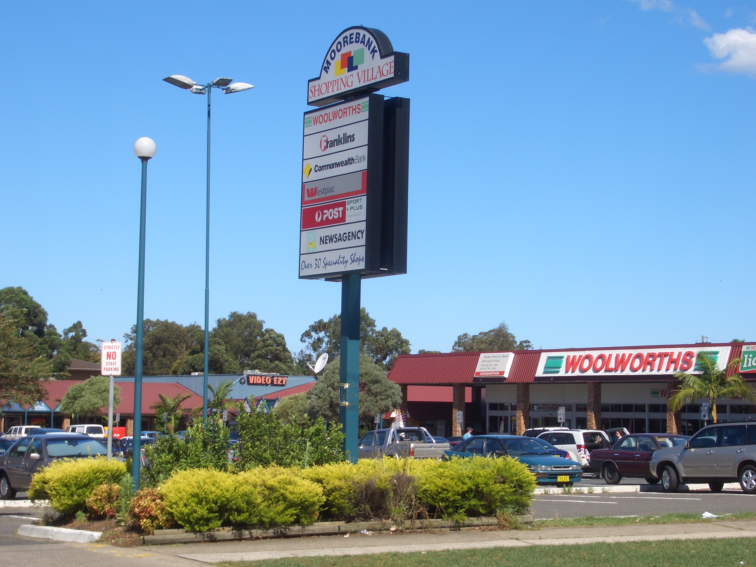
Moorebank features a mix of residential and industrial areas. Moorebank Shopping Village is a small shopping centre.
Contents
History
The suburb takes it name from explorers Thomas Moore and Joseph Banks. Moorebank was originally home to vineyards and other rural activities.[1] Nuwarra Public School opened in 1973 and is located directly opposite Moorebank shopping centre, which also opened in the early 1970s. Moorebank is built atop a plateau and was cut off from surrounding areas in the floods of 1986.
Transport
The M5 South Western Motorway links Moorebank east to the Sydney CBD and west to Campbelltown. Moorebank is close to Liverpool railway station on the South railway line of the City Rail network.
Schools
- St Joseph's Primary
- Nuwarra Public School
- Moorebank High School is technically in the adjacent suburb of Chipping Norton.
Churches
Moorebank has a several chuches for the suburb
- St Thomas (Anglican)
- St Joesephs (Catholic)
- Freedom City Church
Sport and recreation
Moorebank is home to a number of local sporting teams, most of which use Hammondville Park as their home ground. Most prominent is the Moorebank Magpies Australian Football team which plays in the second division of the Sydney AFL competition. The Moorebank Rams rugby league team plays in the Canterbury-Bankstown Junior Rugby League competition but have previously fielded teams in the Metropolitan Cup, the most senior Sydney competition beneath the National Rugby League. Moorebank also fields a soccer team in the Southern Districts Soccer Football Association, a cricket team in the Fairfield-Liverpool Cricket Association, a baseball team (the Royals) in the Bankstown District Baseball Association and has netball and fishing clubs as well.[2]
Moorebank is also home to a purpose built remote control car race track. The John Grant International Raceway is located in Helles Reserve which is just of Helles Avenue, near the Moorebank Road and M5 intersection. The racetrack is run by the New South Wales Remote Control Race Car Club Incorporated, a not-for-profit club, and was host to the 2001 IFMAR World Championships for 8th scale racing which saw the worlds best 8th scale racers attend this event.[3]
Population
Demographics
According to the 2006 census undertaken by the Australian Bureau of Statistics, Moorebank was home to 7599 people who tended to be young families on slightly better incomes than the national average. The average age was 34 compared to 37 for the country as a whole and the median family income was $1272 per week compared to a national figure of $1171. Much of this, however, was gobbled up by housing loan repayments where the median figure for Moorebank ($1733 per month) was well above the national figure of $1300. Moorebank was also ethnically diverse with a number of languages other than English spoken including Arabic (5%), Greek (5%), Vietnamese (2.9%), Italian (2.5%) and Hindi (2.4%).[4]
Notable residents
- Robert Kaleski (1877–1961), bushman and dog expert.[5]
- Harley Matthews (1889–1968), soldier and author of four books about his experiences at Gallipoli.[6]
- Thomas Moore (1762–1840), explorer and first British settler of Moorebank.
References
- ^ The Book of Sydney Suburbs, Compiled by Frances Pollen, Angus & Robertson Publishers, 1990, Published in Australia ISBN 0-207-14495-8, page 177
- ^ "Community Affiliations". Moorebank Sports Club. Archived from the original on 2008-07-18. http://web.archive.org/web/20080718173118/http://www.moorebanksports.com.au/community-affiliations/. Retrieved 2008-03-08.
- ^ "Moorebank raceway". NSWRCRCC. http://www.moorebankraceway.com. Retrieved 2008-03-08.
- ^ "2006 Census QuickStats : Moorebank (State Suburb)". Australian Bureau of Statistics. http://www.censusdata.abs.gov.au/ABSNavigation/prenav/LocationSearch?locationLastSearchTerm=moorebank&locationSearchTerm=moorebank&newarea=SSC11675&submitbutton=View+QuickStats+%3E&mapdisplay=on&collection=Census&period=2006&areacode=SSC11675&geography=&method=Place+of+Usual+Residence&productlabel=&producttype=QuickStats&topic=&navmapdisplayed=true&javascript=true&breadcrumb=PL&topholder=0&leftholder=0¤taction=104&action=401&textversion=false&subaction=1. Retrieved 2008-03-08.
- ^ "Kaleski, Robert Lucian Stanislaus (1877 - 1961)". Australian Dictionary of Biography. http://www.adb.online.anu.edu.au/biogs/A090530b.htm. Retrieved 2008-03-08.
- ^ "Matthews, Harley (1889 - 1968)". Australian Dictionary of Biography. http://www.adb.online.anu.edu.au/biogs/A100437b.htm. Retrieved 2008-03-08.
Coordinates: 33°55′59″S 150°57′01″E / 33.93300°S 150.95015°E
Suburbs and localities within the City of Liverpool | South-western Sydney | Sydney Ashcroft · Austral · Badgerys Creek* · Bringelly* · Busby · Carnes Hill · Cartwright · Casula · Cecil Hills · Cecil Park* · Chipping Norton · Denham Court · Edmondson Park · Green Valley · Greendale · Hammondville · Heckenberg · Hinchinbrook · Holsworthy · Horningsea Park · Hoxton Park · Ingleburn · Kemps Creek* · Leppington* · Liverpool · Luddenham* · Lurnea · Middleton Grange · Miller · Moorebank · Pleasure Point · Prestons · Rossmore* · Sadleir · Voyager Point · Wallacia* · Warwick Farm · Wattle Grove · West Hoxton
Categories:- Suburbs of Sydney
Wikimedia Foundation. 2010.