- Ohkay Owingeh, New Mexico
-
San Juan Pueblo

Nearest city: Española, New Mexico Coordinates: 36°3′15″N 106°4′13″W / 36.05417°N 106.07028°WCoordinates: 36°3′15″N 106°4′13″W / 36.05417°N 106.07028°W Area: 16.2 acres (6.6 ha) Built: 1540 Governing body: Private NRHP Reference#: 74001201[1] Added to NRHP: July 30, 1974 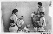 Ohkay Owingeh potters at work, 1937. Pottery making was historically important in the economy of San Juan, and continues today at Ohkay Owingeh.
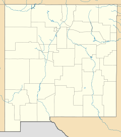
Ohkay Owingeh (pronounced [ˈokɛ oˈwiŋɛ]) is a pueblo and census designated place in Rio Arriba County, New Mexico, United States. Its elevation is 5,663 feet (1,726 m) and it is located at 36°03′12″N 106°04′08″W / 36.05333°N 106.06889°W.[2] One of its boundaries is contiguous with Española, about 25 miles (40 km) north of Santa Fe.
Ohkay Owingeh was previously known as San Juan Pueblo until returning to its pre-Spanish name in November 2005.[3] The Tewa name of the pueblo means "place of the strong people."[4]
Ohkay Owingeh has the ZIP code 87566 and the United States Postal Service prefers that name for addressing mail, but accepts the alternative name San Juan Pueblo. This ZIP Code Tabulation Area (ZCTA) had a population of 3,357 at the 2000 Census.[5] The entire pueblo has a population of 6,748.[6]
Contents
History
The pueblo was founded around 1200 AD (Pueblo III Era). By tradition, the Tewa people moved here from the north, perhaps from the San Luis Valley of southern Colorado, part of a great migration spanning into Pueblo IV Era.[7]
After taking control of the pueblo in 1598, the Spanish conquistador Don Juan de Oñate renamed the pueblo San Juan de los Caballeros after his patron saint, John the Baptist. He then established the first Spanish capital of New Mexico nearby.[8]
The community was known as the San Juan Indian Reservation.
Present day
Ohkay Owingeh is the headquarters of the Eight Northern Indian Pueblos Council, and the pueblo people are from the Tewa ethnic group of Native Americans. This is one of the largest Tewa language-speaking pueblos.[6]
The annual Pueblo Feast Day is June 24.[4] The tribe owns the OhKay Casino and the Oke-Oweenge Crafts Cooperative, which showcases redware pottery, weaving, painting, and other artwork from the eight northern pueblos.[6]
Notable natives
- Esther Martinez, linguist and storyteller
- Popé (Po-pay), the Tewa leader of the Pueblo Revolt of 1680[6]
-

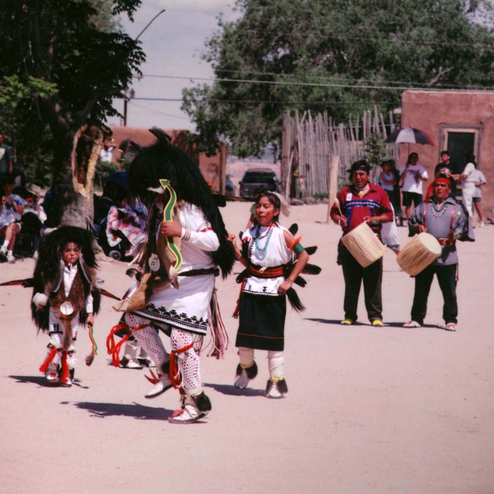
Dancers at Ohkay Owingeh, May 2005 -
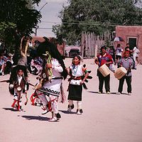
Buffalo Dance -

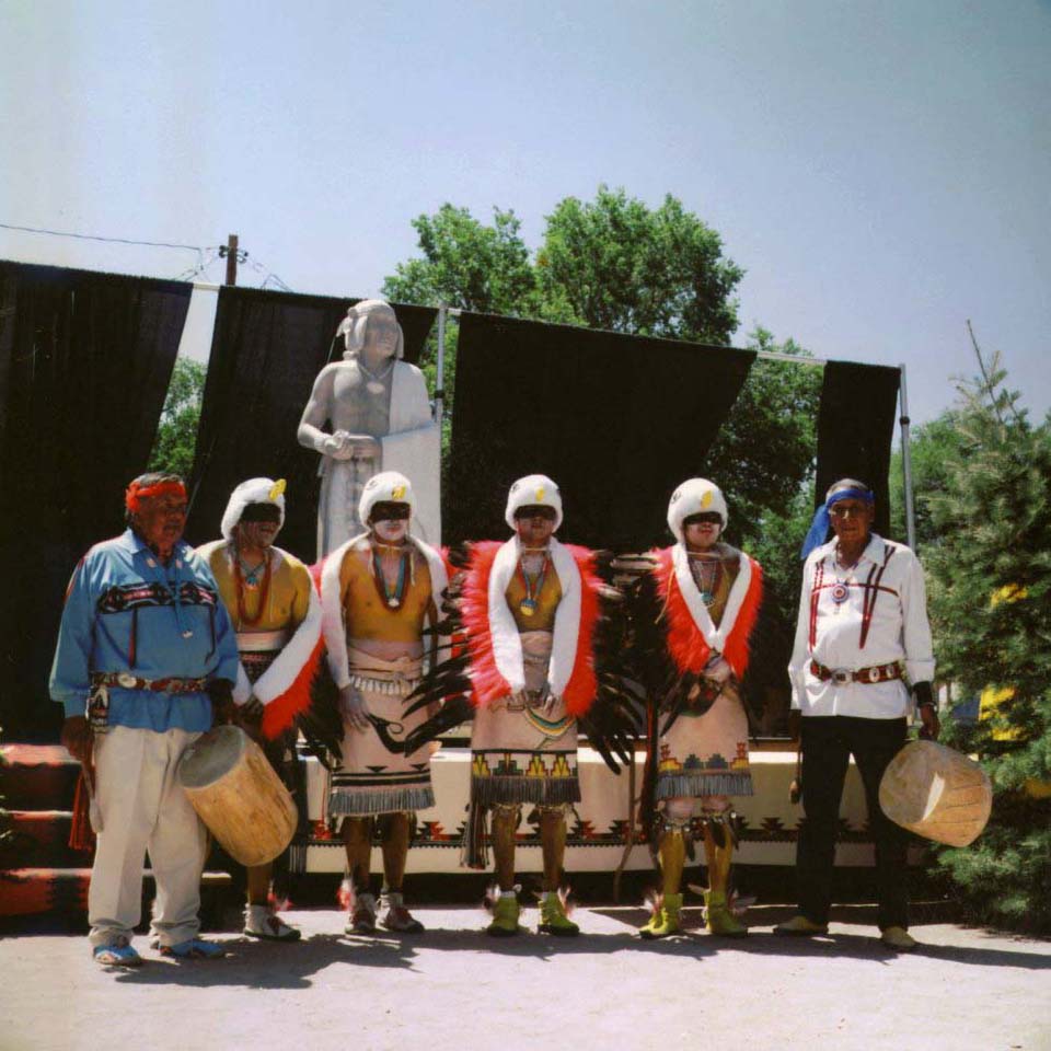
Statue of Popé, Ohkay Owingeh, May 2005
References
- ^ "National Register Information System". National Register of Historic Places. National Park Service. 2009-03-13. http://nrhp.focus.nps.gov/natreg/docs/All_Data.html.
- ^ "Ohkay Owingeh". Geographic Names Information System, U.S. Geological Survey. http://geonames.usgs.gov/pls/gnispublic/f?p=gnispq:3:::NO::P3_FID:2408978. Retrieved 2009-07-19.
- ^ "Pueblo’s name predates arrival of Oñate". The Santa Fe New Mexican. 2005-11-15. http://www.freenewmexican.com/news/35039.html.[dead link]
- ^ a b "Ohkay Owingeh (formerly San Juan Pueblo)". Website for "Dancing from the Heart" movie. Mother Earth Productions, LLC. http://www.dancingfromtheheart-movie.com/ohkay.shtml.
- ^ "Ohkay Owingeh, NM 87566". NM HomeTownLocator. http://newmexico.hometownlocator.com/zip-codes/data,zipcode,87566.cfm.
- ^ a b c d "Ohkay Owingeh." New Mexican. (retrieved 11 March 2010)
- ^ Wroth, William H. "Ohkay Owingeh". New Mexico Office of the State Historian. http://www.newmexicohistory.org/filedetails.php?fileID=510.
- ^ "San Juan Pueblo". New Mexico Magazine. http://www.nmmagazine.com/native_american/san_juan.php.
External links
- Ohkay Owingeh Dept. of Education
- History of Ohkay Owingeh
- Ohkay Owingeh, Indian Pueblo Cultural Center
- San Juan Pueblo at National Park Service
- San Juan pottery, photo gallery
Municipalities and communities of Rio Arriba County, New Mexico City 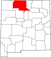
Village CDPs Alcalde | Chimayo‡ | Dulce | San Juan | Santa Clara Pueblo
Unincorporated
communitiesAbiquiú | Dixon | El Rito | Embudo | Hernandez | Navajo City | Ohkay Owingeh | Ojo Sarco | San Lorenzo | Tierra Amarilla | Truchas
Ghost towns Hopewell | Sublette
Indian reservation Footnotes ‡This populated place also has portions in an adjacent county or counties
Categories:- Historic districts in New Mexico
- Tewa
- Native American tribes in New Mexico
- National Register of Historic Places in New Mexico
- Geography of Rio Arriba County, New Mexico
- Unincorporated communities in New Mexico
- Federally recognized tribes in the United States
- American Indian reservations in New Mexico
- Pueblo great houses


Wikimedia Foundation. 2010.