- Neversink Preserve
-
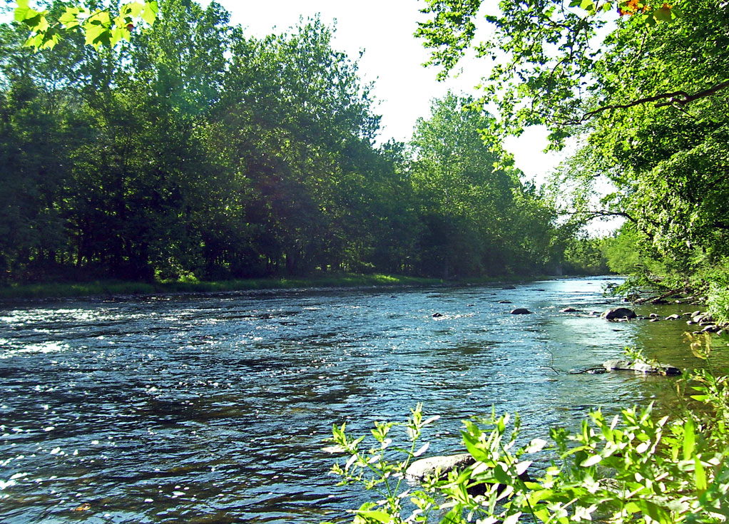
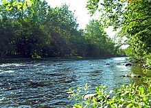 Neversink River at Cuddebackville
The Neversink Preserve is located in Godeffroy in Orange County, New York. was created in 1993 by the Nature Conservancy. They purchased 170 acres (0.69 km2) upland of land on the Neversink River and created the Neversink Preserve in order to protect the newly discovered and federally endangered species of mussel, the Dwarf Wedge Mussel. Over time they have purchased more land so that the Neversink Preserve covers 550 acres (2.2 km2). Theodore Gordon, considered the father of modern American fly-fishing, perfected his dry-fly techniques here in the 19th century. Nearly 15 million people rely on the waters of the Delaware River Basin for drinking water and industrial use making the Neversink Preserve a top priority of the Nature Conservancy. 2
Contents
Plants Preserved
Trees
Wildflowers
Animals Preserved
Mammals
- Otters and beaver live in the creeks and wetlands that crisscross the preserve.
- Bobcats, black bear and wild turkeys inhabit the forests and meadows.
Birds
- Common Mergansers
- Wood Ducks
- Osprey
- Blue Herons
- Belted Kingfishers
- Bald Eagles
- Ruffed Grouse
- Northern Harriers
- Owls
- Warblers and Songbirds.
Fish
Reptiles and Amphibians
- Spotted Salamanders
- Wood Frogs
- Northern Water Snakes
- Ribbon Snakes
- Snapping Turtles.
See also
- Cuddebackville Dam
- Protected areas of the United States
- List of New York state parks
- International Union for Conservation of Nature
- Conservation
References
1. DePalma, A. (2004, April 26). Rebuilding a River Upstate, For the Love of a Tiny Mussel; Dam to Be Demolished to Save an Endangered Species - The New York Times. nytime.com. Retrieved November 23, 2009, from http://www.nytimes.com/2004/04/26/nyregion/rebuilding-river-upstate-for-love-tiny-mussel-dam-be-demolished-save-endangered.html?scp=3&sq=cuddebackville&st=cse
2. Neversink Preserve - Eastern New York. (n.d.). nature.org. Retrieved November 27, 2009, from http://www.nature.org/wherewework/northamerica/states/newyork/preserves/art12204.html
Categories:- Protected areas established in 1993
- Neversink River
- Protected areas of Orange County, New York
- New York geography stubs
- Northeastern United States protected area stubs
Wikimedia Foundation. 2010.