- Nyainqêntanglha Peak
-
Mount Nyainqêntanglha 
Elevation 7,162 m (23,497 ft) [1] Prominence 2,239 m (7,346 ft) [2] Listing Ultra Location Location within Tibet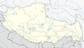
 Mount Nyainqêntanglha
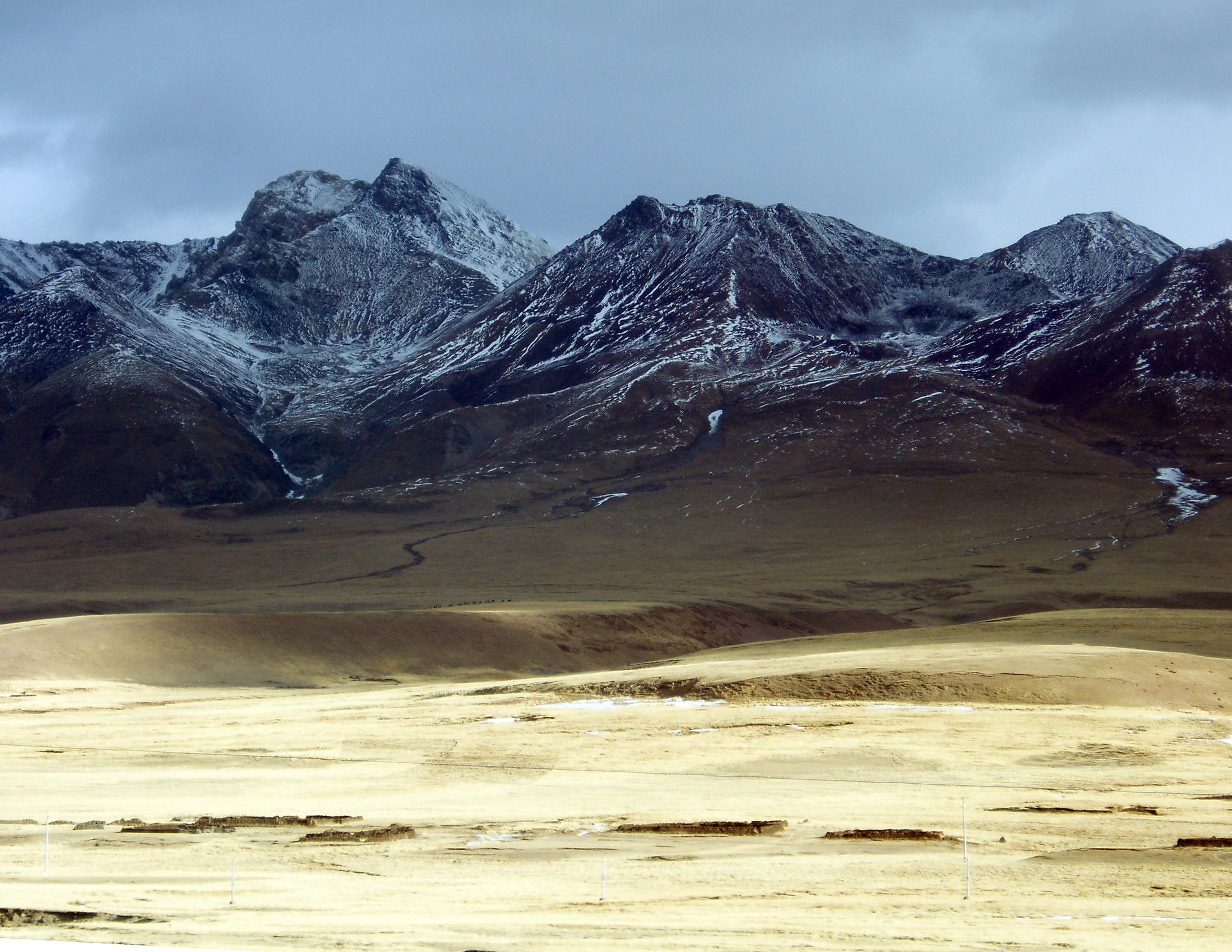
Location Damxung County, Tibet, China Range Nyainqêntanglha Mountains Coordinates 30°22′03″N 90°35′06″E / 30.3675°N 90.585°ECoordinates: 30°22′03″N 90°35′06″E / 30.3675°N 90.585°E[2] Climbing Easiest route Glacier/snow/ice climb Mount Nyainqêntanglha (officially Nyainqêntanglha Feng; and also Nyanchen Thanglha, Tibetan: གཉན་ཆེན་ཐང་ལྷ་, Wylie: Gnyan-chen-thang-lha; Chinese: 念青唐古拉峰, Pinyin: Niànqīng Tánggǔlā Fēng), or Nyainqêntanglha Peak is the highest peak of Nyainqêntanglha Mountains, which divides Tibet, the watershed between the Yarlung Zangbo (Brahmaputra) and the Nu (Salween) rivers. Nyainqên Tanglha means "the God of Grassland" in the Tibetan language. It is located in Damxung county in the Nyingchi Prefecture of Tibet.
Nyainên Tanglha is the subject of many Tibetan fairy tales and old folklore.
References
See also
- List of Ultras of Tibet and East Asia
Nyingchi Prefecture, Tibet County-level divisions 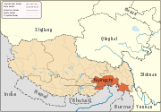
Geography Ba River · Nyang River · Pagsum Lake · Mount Nyainqentanglha
Towns and villages Categories:- Nyingchi Prefecture
- Mountains of Tibet
- Nyingchi Prefecture geography stubs


Wikimedia Foundation. 2010.