- Mondawmin (Baltimore Metro Subway station)
-
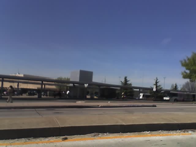
Mondawmin 
Outside of Mondawmin Metro Subway StationStation statistics Address 2307 Liberty Heights Avenue
Baltimore, MD 21215Coordinates 39°19′05″N 76°39′10″W / 39.318170°N 76.652695°WCoordinates: 39°19′05″N 76°39′10″W / 39.318170°N 76.652695°W Lines Platforms 1 island platform Tracks 2 Parking 175 spaces Other information Opened 1983 Owned by Maryland Transit Administration Services Preceding station MTA Maryland Following station toward Johns Hopkins HospitalMetro Subway toward Owings MillsMondawmin is a rapid transit station on the Metro Subway in Mondawmin, Baltimore, Maryland, United States. It is located under the intersection of Reisterstown Road and Liberty Heights Avenue, adjacent to the Mondawmin Mall. The station is the northernmost underground station on the line, and a major transfer point to many bus routes.
The station's location next to Mondawmin Mall, Baltimore's oldest mall, has led its owners to plan an expansion.[1]
On the surface, a bus loop connects to Reisterstown Road and Liberty Heights Avenue. This loop and the adjacent streets are used by a number of bus routes, many of which terminate in it:
- Route 1 to Fort McHenry (SB)/Sinai Hospital (NB)
- Route 5 to Cedonia
- Route 7 to Canton
- Route 16 to Brooklyn
- Route 21 to Fells Point
- Route 22 to Johns Hopkins Bayview Medical Center
- Route 51 to Patapsco Light Rail Stop (SB)/Rogers Avenue Metro Subway Station (NB)
- Route 52 to Milford Mill
- Route 53 to Old Court Metro Subway Station
- Route 54 to Penn-North Metro Subway Station (SB)/Milford Mill Metro Subway Station and Randallstown (NB)
- Route 97 (Mondawmin Shuttle) to nearby neighborhoods in Mondawmin area
Several routes were cut back to Mondawmin on June 18, 1984, about seven months after the station opened, and Routes M-1, M-2, and M-3 were formed at that time to replace the portions of those routes beyond Mondawmin. Specifically, Route M-1 was split from Route 28 (now Route 5 near Mondawmin), Route M-2 was split from Route 7, and Route M-3 was split from Route 5[2].
Mondawmin Shuttle
MTA Route 97, also known as the Mondawmin Shuttle Bug or Mondawmin Shuttle, was the second and is so far the final in the series of shuttle bugs to be introduced in the 2000s. The route serves Baltimore City Community College, Coppin State College, and various nearby streets, some served by regular bus routes, and some not. But the full route is within a close walk of one or more other MTA bus routes. The route operates at 20-minute intervals.
In 2005, as part of the Greater Baltimore Bus Initiative, it was initially proposed that the shuttle's frequency would be reduced to one bus an hour, and riders were encouraged to use other regular bus routes that shared common routing. However, after community meetings, it was ultimately decided that the schedule would remain the same[3].
In 2006, MTA proposed that the route would be modified to serve Reservoir Hill in order to replace a portion of Route 5 that was at the time proposed for modification away from this area. But it was later decided that Route 5 would continue to serve Reservoir Hill.
References
- ^ Andrea K. Walker, The Baltimore Sun, Bigger stores in works for Mondawmin Mall, February 15, 2006
- ^ http://www.btco.net/Routes/routemet.htm
- ^ http://www.latimes.com/bal-md.bus29jul29,0,3130218.story
External links
Categories:- Baltimore Metro Subway stations
Wikimedia Foundation. 2010.