- Wabash Avenue (Baltimore, Maryland)
-
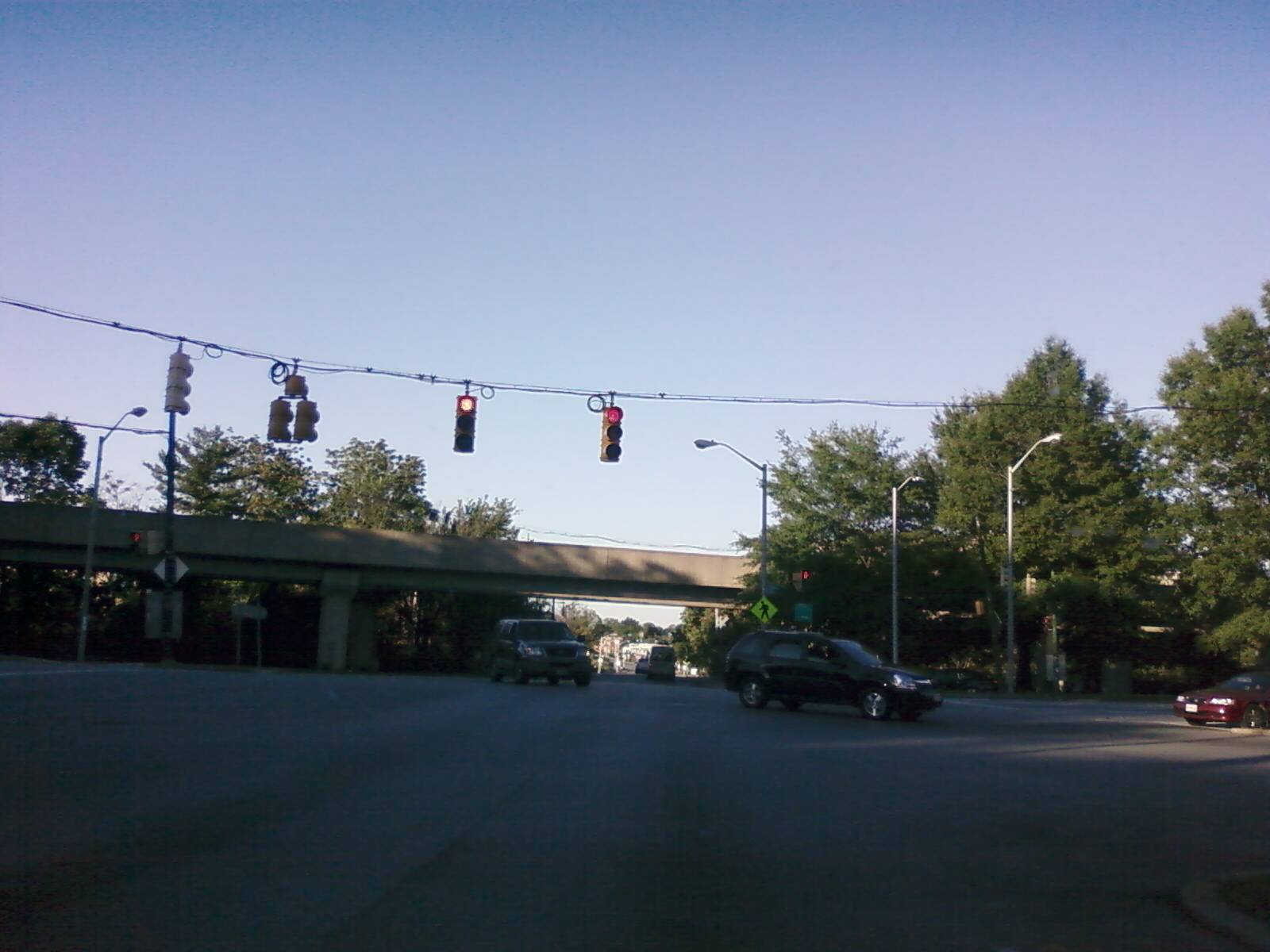
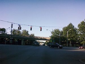 Intersection of Patterson and Wabash Avenues (Baltimore Metro Subway is overhead)
Wabash Avenue is a six-lane Boulevard in northwest Baltimore, Maryland, that runs from Patterson Avenue to Hilton Street, mostly through the Arlington community, crossing over Northern Parkway and Cold Spring Lane along the way. The road starts near the Reisterstown Plaza Metro Subway Station and continues to just past the West Coldspring Metro Subway Station, where it narrows and becomes a one-way pair with Dorithan Road, which ends several blocks later at Hilton Street.
Wabash Avenue actually begins as a stub near the Reisterstown Road Plaza. The stub exists where a longer road was intended as part of the original plans of Interstate 795. This portion of I-795, which would have run through historic Sudbrook Park before reaching the city, was fought and ultimately cancelled as a result of complaints from Sudbrook Park residents.[1] This led to the cancellation of all parts of I-795 within the city. Still, the road was constructed as a Boulevard, and the Metro Subway was constructed along an overhead track directly parallel to the road.[2] Three stations of the Metro system (Reisterstown Plaza, Rogers Avenue and West Coldspring) are located along Wabash Avenue.
Contents
Continuations
After Wabash Avenue ends, it leads to the following roads:
Hilton Street
Hilton Street is a mostly two-lane road that runs north-south for 3.8 miles (6.1 km) through West Baltimore, mostly through the neighborhood of Ashburton.
A mile-long portion of this road that runs through Leakin Park is known as Hilton Parkway. Hilton Parkway is a four-lane road from North Avenue to Edmondson Avenue, where there is an exit ramp. In 1990, a concrete barrier was installed in the median of Hilton Parkway due to a series of fatal accidents that had occurred.
Caton Avenue
Hilton Street after passing Frederick Road/Frederick Avenue becomes Caton Avenue, which continues in a north-south direction for 1.6 miles (2.6 km). Caton Avenue is exit 50 off Interstate 95.
The portion of Caton Avenue from Wilkens Avenue to Washington Boulevard is a part of US-1.
St. Agnes Hospital is located at the corner of Caton Avenue and Wilkens Avenue.
Patapsco Avenue
Patapsco Avenue is a 5.2-mile (8.4 km), mostly six-lane road that runs from Washington Boulevard to a dead end in Fairfield shortly after Fairfield Road. The road has few landmarks and is mostly used for thru traffic.
One of the stops of the Baltimore Light Rail known as the Patapsco Light Rail Stop is located on Patapsco Avenue. This location is also a hub for several Maryland Transit Administration bus lines.
External links
References
- ^ Scott Kozel. "Interstate 795 in Maryland". Roads to the Future. http://www.roadstothefuture.com//I795_MD.html. Retrieved 2011-01-28.
- ^ "Wabash Avenue (Planned Interstate 795)". AARoads. November 24, 2004. http://www.aaroads.com/mid-atlantic/wabash_ave.html. Retrieved 2011-01-28.
Annapolis Road · Aliceanna Street · Artmuseum Drive · Baltimore Street · Bellona Avenue · Biddle Street · Boston Street · Broadway · Broening Highway · Calvert Street · Cathedral Street · Caton Avenue · Centre Street · Charles Street · Chase Street · Coldspring Lane-Moravia Road · Druid Hill Avenue · Eager Street · Eastern Avenue · Eutaw Street · Falls Road · Fayette Street · Fleet Street · Franklin Street · Gay Street · Greene Street · Greenmount Avenue · Greene Street · Greenspring Avenue · Guilford Avenue · Gwynns Falls Parkway · Greenmount Avenue · Hanover Street · Harford Road · Hilton Street/Hilton Parkway · Howard Street · Key Highway · Liberty Heights Avenue · Loch Raven Boulevard · Lexington Street · Lombard Street · Madison Street · Maryland Avenue · McCulloh Street · Monument Street · Mt. Royal Avenue · Mulberry Street · North Avenue · Northern Parkway · Paca Street · Park Heights Avenue · Paca Street · Park Avenue · Patapsco Avenue · Pennsylvania Avenue · Pratt Street · Preston Street · Reisterstown Road · Roland Avenue · Russell Street · St. Paul Street · Saratoga Street · The Alameda · University Parkway · Wabash Avenue · York Road
Categories:- Streets in Baltimore, Maryland
Wikimedia Foundation. 2010.