- Key Highway
Infobox road
state=MD
type=MD Truck
route=2
alternate_name=Key Highway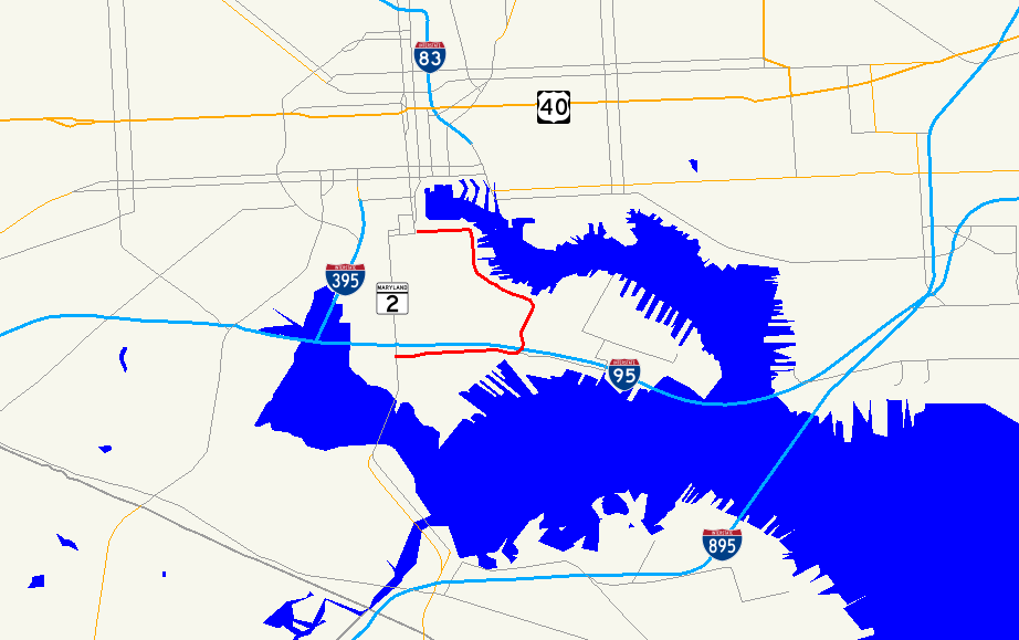
length_mi=2.3
length_ref= [Google Maps , [http://maps.google.com/maps?um=1&tab=wl&hl=en&q=w%20mccomas%20st%20%26%20s%20hanover%20st%2C%20baltimore%2C%20md%20via%20key%20highway%20to%20key%20highway%20%26%20light%20st%2C%20baltimore%2C%20md driving directions along MD 2 Truck] ]
length_round=1
established=
direction_a=South
starting_terminus=
junction=
direction_b=North
ending_terminus=
spur_type=MD
spur_of=2Key Highway is a road south of
downtown Baltimore ,Maryland ,United States . It runs from McComas Street at exit 55 of Interstate 95, just west of theFort McHenry Tunnel , north and west to Light Street (MD 2 ), mostly paralleling the Northwest Harbor and serving the piers on the harbor. Along with McComas Street west to Hanover Street (MD 2), the road forms a truck bypass of the Federal Hill neighborhood known as Maryland Route 2 Truck. [Maryland State Highway Administration , PDFlink| [http://www.sha.state.md.us/SHAServices/mapsBrochures/maps/OPPE/HISD_MAPS/83FTbcbor.PDF County Map of Baltimore City] |3.17 MiB , 2004]The road was laid out to a width of 160 feet (50 m) from Light Street to Locust Point in the early 1910s, providing better access to the new city-owned piers in preparation for increased trade via the
Panama Canal and existingsteamship lines toEurope . It was named Key Highway because it was originally planned to extend toFort McHenry , near whereFrancis Scott Key wrote "The Star-Spangled Banner ." [John Wilber Jenkins, The New City of Baltimore, printed inDoubleday, Page & Company , [http://books.google.com/books?id=zegeQtMn9JsC&dq=%22key+highway%22+baltimore The World's Work: A History of Our Time, Volume XXVII, May to October 1914] , p. 586] However, the extenion of the road to the fort was never built. Arail line ran the length of Key Highway, connecting to the tracks inPratt Street via Light Street. A two-lane extension of the highway and rail line was built in 1930, [National Bridge Inventory database, 2006] branching off the old route east of Ludlow Street and running south under Fort Avenue to McComas Street. [United States Geological Survey , [http://alabamamaps.ua.edu/historicalmaps/us_states/maryland/topos/index.html Baltimore quadrangle, 1943] ] [United States Geological Survey , [http://alabamamaps.ua.edu/historicalmaps/us_states/maryland/topos/armymap.html Baltimore East quadrangle, 1950] ] The short portion of the old road east of the extension is now East Key Highway; the rail tracks have been removed.References
Wikimedia Foundation. 2010.