- Dom (mountain)
-
Dom 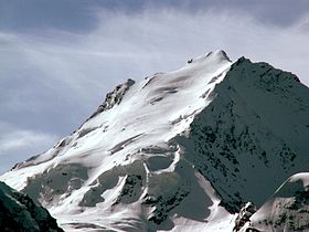
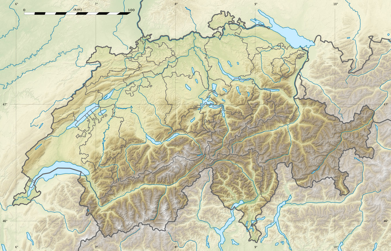
North and west facesElevation 4,545 m (14,911 ft) Prominence 1,046 m (3,432 ft) [1] Parent peak Monte Rosa Location Location in Switzerland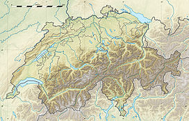
 Dom
DomLocation Valais, Switzerland Range Pennine Alps Coordinates 46°05′42″N 7°51′36″E / 46.095°N 7.86°ECoordinates: 46°05′42″N 7°51′36″E / 46.095°N 7.86°E Topo map Swisstopo 1328 Randa Climbing First ascent 1858 by the Rev J. L. Davies and party Easiest route North flank (PD) The Dom is a mountain in the Pennine Alps above Saas Fee in the canton of Valais. With its 4,545 m (14,911 ft) summit it is the third highest peak in the Alps and the second highest in Switzerland. The Dom is the summit of the Mischabel range, the highest massif lying entirely in Switzerland.
Although Dom is a German cognate for 'dome', it can also mean 'cathedral' and the mountain is named after Canon Berchtold of Sitten cathedral, the first person to survey the vicinity.[2]
The former name Mischabel comes from an ancient German dialect term for pitchfork, as the highest peaks of the massif stand close to each other.
Contents
Geographical setting
The Dom is the culminating point of a chain running from Schwarzberghorn on the south, at the intersection with the main chain of the Alps ( Alpine watershed ), to the Seetalhorn on the north and ending above the town of Stalden.
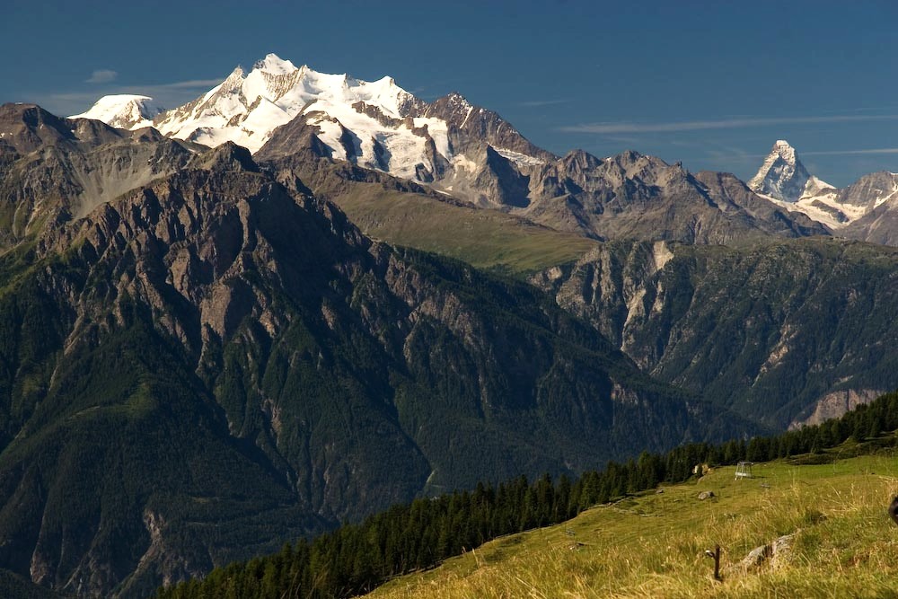
 The Dom from the north, with the Matterhorn on the right
The two valleys separated by the range are the Mattertal on the west and the Saastal on the east. The towns of Randa and Saas Fee lie six kilometres from the summit (to the west and the east, respectively).
Since the Dom is not on the main Alpine chain, the rivers flowing on both the west and east side of the massif end up in the same major river, the Rhone. The Dom is the highest mountain in the Alps with this peculiarity.
Many high summits are located within a few kilometers from the Dom. To the north lies the Nadelgrat, composed of the Lenzspitze, Nadelhorn and Stecknadelhorn. The Nadelgrat is easily visible from the north and gives the massif its characteristic pitchfork appearance. The second highest peak of the massif, the Täschhorn to the south, culminates at 4,491 metres. In total eight summits above 4,000 metres are located in the Mischabel range.[3]
Generally, areas above 3,000 metres are covered by glaciers, the two largest being the Ried situated at the foot of the Nadelgrat and the Fee, at the foot of the Dom itself, below the east face. Mt. Dom is a depositional mountain.
Geology
 Glacier
The massif is almost entirely composed of gneiss from the Siviez-Mischabel nappe. The latter is part of the Briançonnais microcontinent and is located in the Penninic nappes.
Climbing history
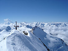 The summit
The first ascent was made from the Festigrat (north-west ridge) by J. L. Davies with guides Johann Zumtaugwald, Johann Krönig and Hieronymous Brantschen on 11 September 1858.[4]
The first ascent of the western ridge (above the Festikinlücke) was made in 1879 by Mrs E. P. Jackson, A. Pollinger, P. Truffel, J. Biner, P. Thomas, J. Imboden and J. Langen. They traversed the west face to reach the Festigrat before arriving to the summit. The first complete ascent on the western ridge was made later in 1882 by Paul Güssfeldt and guides Alexander Burgener and B. Venetz. The direct route on the west face was first ascended in 1962.
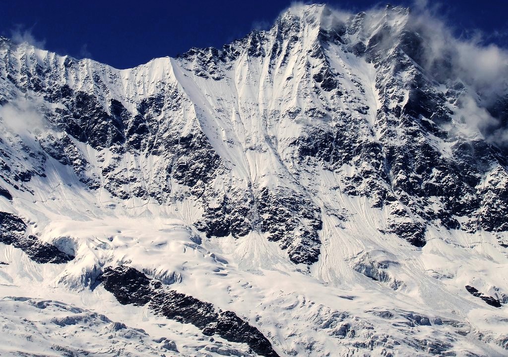
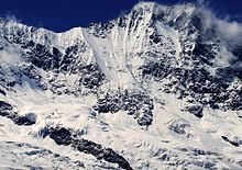 East face above Saas Fee
The 1000-metre-high east face above Saas Fee was climbed in 1875 by J. Petrus, A. and W. Puckle and L. Noti.
A route on the south face was first made in August 1906 by Geoffrey Winthrop Young and R. G. Major, with the guides Joseph Knubel and G. Lochmatter. According to Young it was more dangerous than the south-west face of the nearby Täschhorn, which they had climbed two weeks earlier.
On 18 June 1917, Arnold Lunn, a pioneer ski mountaineer, and Joseph Knubel made the first ski ascent of the Dom, by the Hohberg Glacier (north flank).[5]
Climbing routes and huts
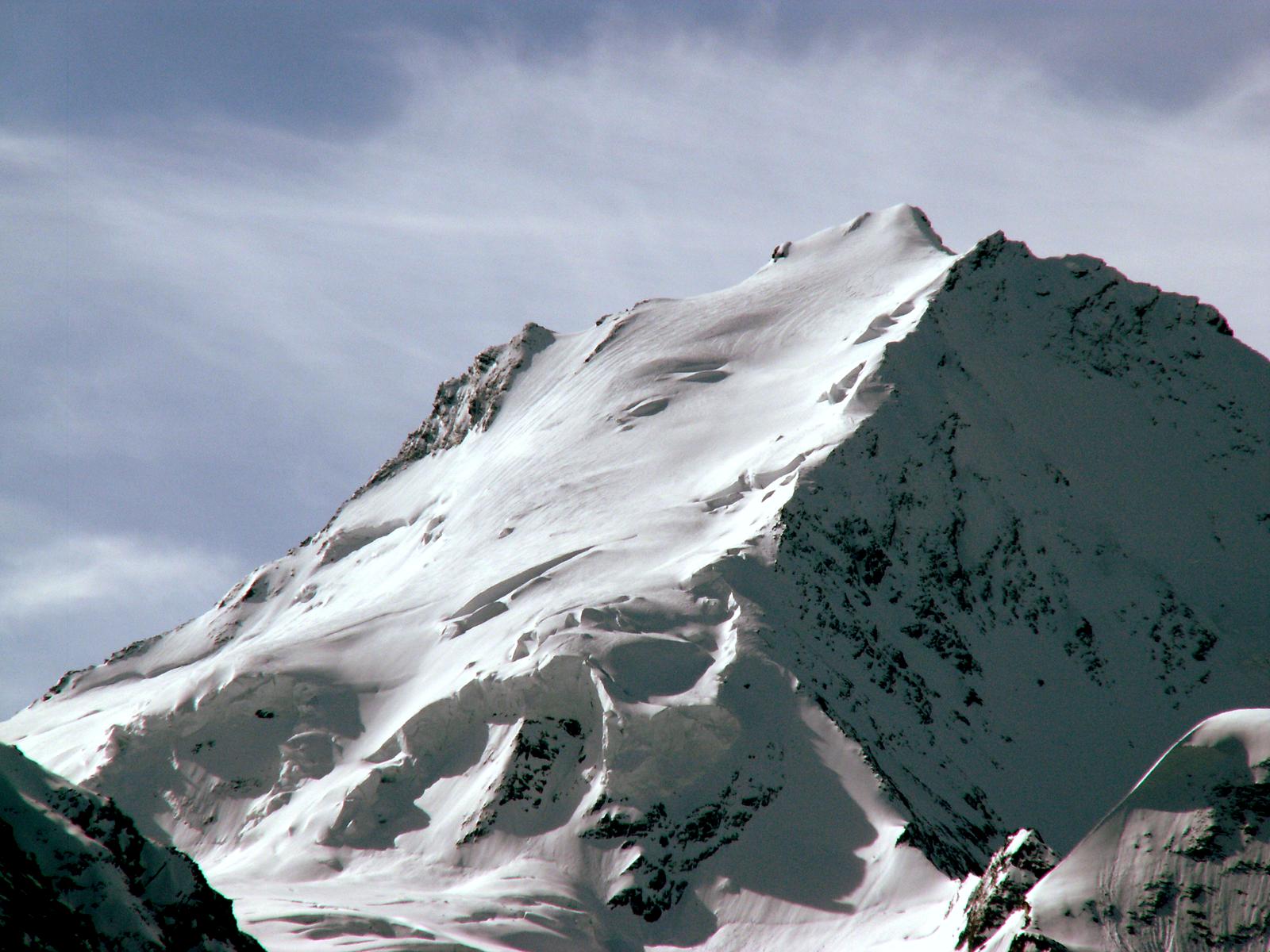
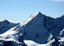 The west face of the Dom
Despite its considerable height above the surrounding valleys, the Dom can be climbed quite easily, as the normal route does not present major difficulties. It is however a demanding 3,100-metre ascent with objective danger in the upper part. Cable cars and other facilities are located only in the Saas Fee area on the east side of the mountain, from which all the routes are difficult.[5]
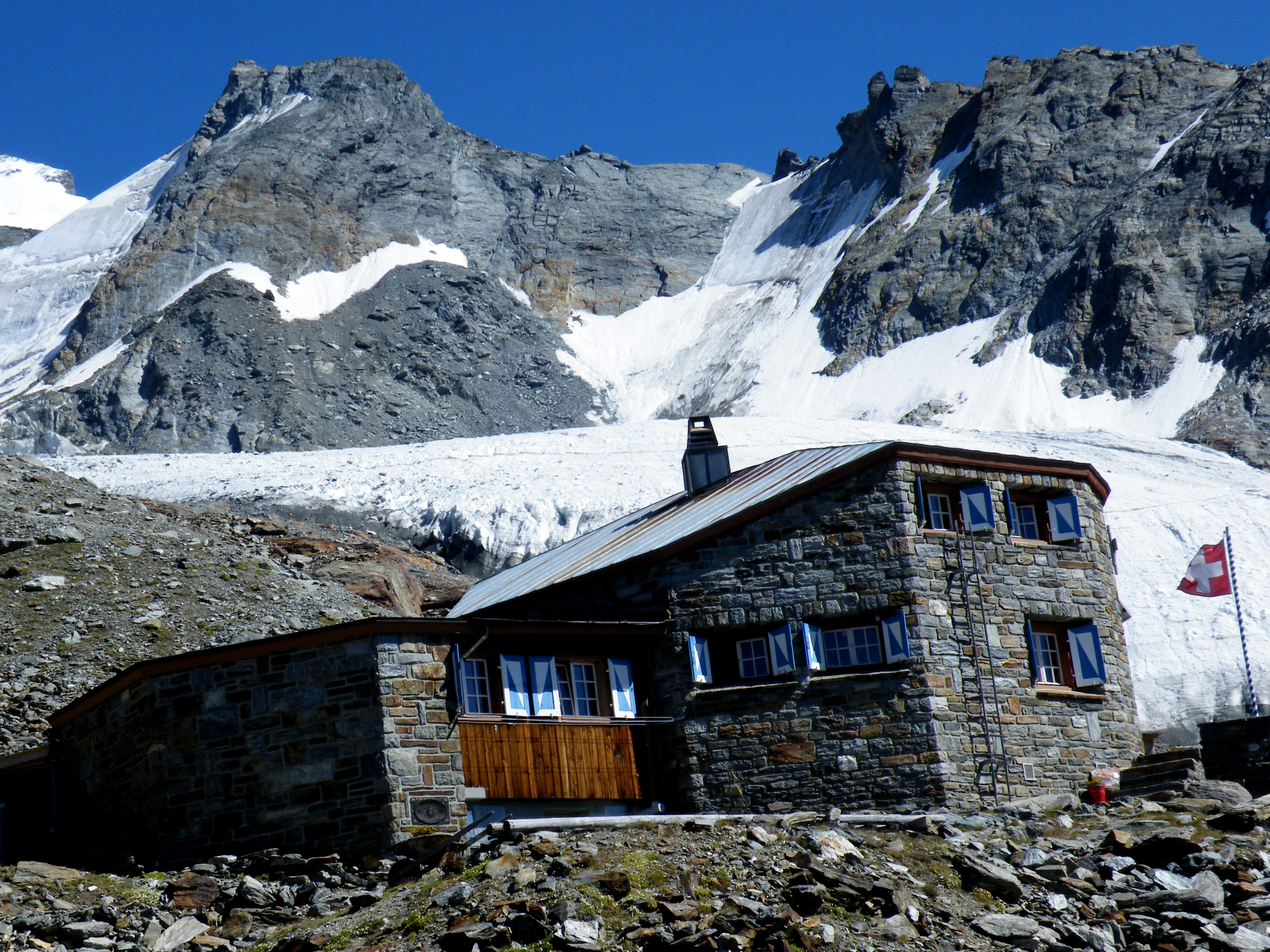
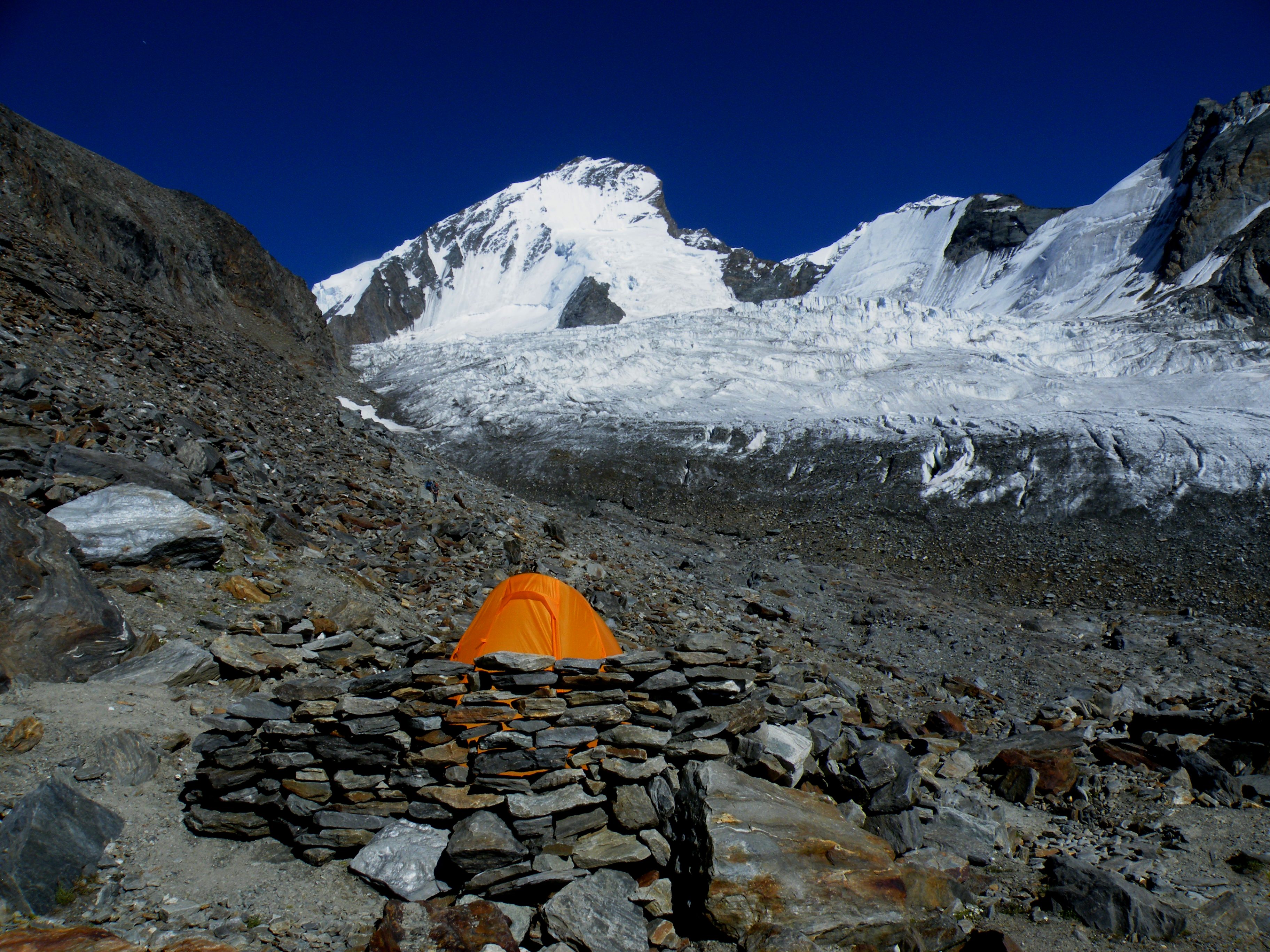
The easiest way to the summit starts from Randa (railway station, 1,450 m), where a trail leads to the Dom Hut (2,940 m). Climbing the mountain requires an overnight stay (a note of caution: the Dom Hut will be closed throughout the whole year 2011 for reconstruction). Most popular sleeping sites are the Dom hut and the camping place one hour higher from the hut. The hut needs to be booked in advance and is not free to use like the camping place. The normal route starts from the hut and goes towards the Festijoch pass (3,720 m). Then it follows the Hohberg Glacier to the summit above the north face. The Festigrat, traversed on the first ascent, is the north-western ridge going directly from the Festijoch to the summit. It is preferred by climbers who wish to avoid the long slopes of the north flank.[5]
The Mischabel Hut on the east side is generally used for the ascent of lower summits in the district, such as the Nadelhorn, Lenzspitze, and peaks on the Nadelgrat.[5]
References
- ^ Swisstopo map (the key col is the Neues Weisstor at 3,499 metres)
- ^ Dumler, Helmut and Willi P. Burkhardt, The High Mountains of the Alps, London: Diadem, 1994, p. 73
- ^ Without counting the Allalinhorn, Rimpfischhorn and Strahlhorn to the south
- ^ Dom erstersteiger.de
- ^ a b c d Helmut Dumler, Willi P. Burkhardt, Les 4000 des Alpes, ISBN 2-7003-1305-4
External links
- The Dom on SummitPost
- Photo of the Mischabelhörner with the Dom
- Photo of the Mischabelhörner from the Gornergrat
Matter Valley Settlements Mountains Barrhorn · Brunegghorn · Bishorn · Weisshorn · Zinalrothorn · Ober Gabelhorn · Dent Blanche · Tête Blanche · Dent d'Hérens · Matterhorn · Klein Matterhorn · Breithorn · Pollux · Castor · Lyskamm · Monte Rosa · Gornergrat · Strahlhorn · Rimpfischhorn · Allalinhorn · Alphubel · Täschhorn · Dom · Lenzspitze · Nadelhorn · BalfrinGlaciers Photo gallery
-
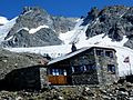
Dom hut
-
West face of the Dom mountain
-
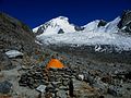
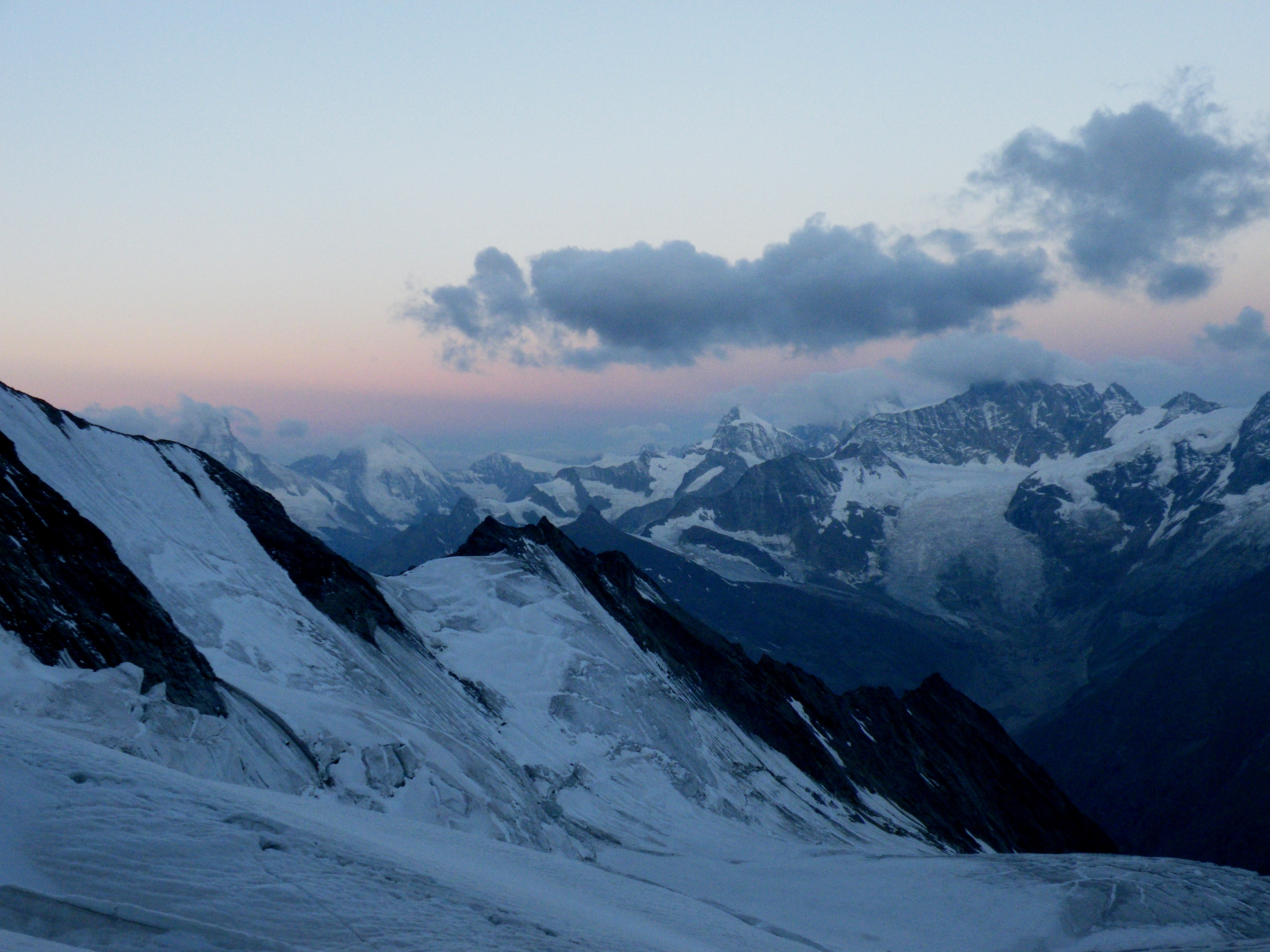
View towards Matterhorn near Festijoch Pass
-
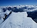
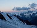
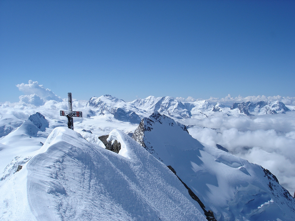
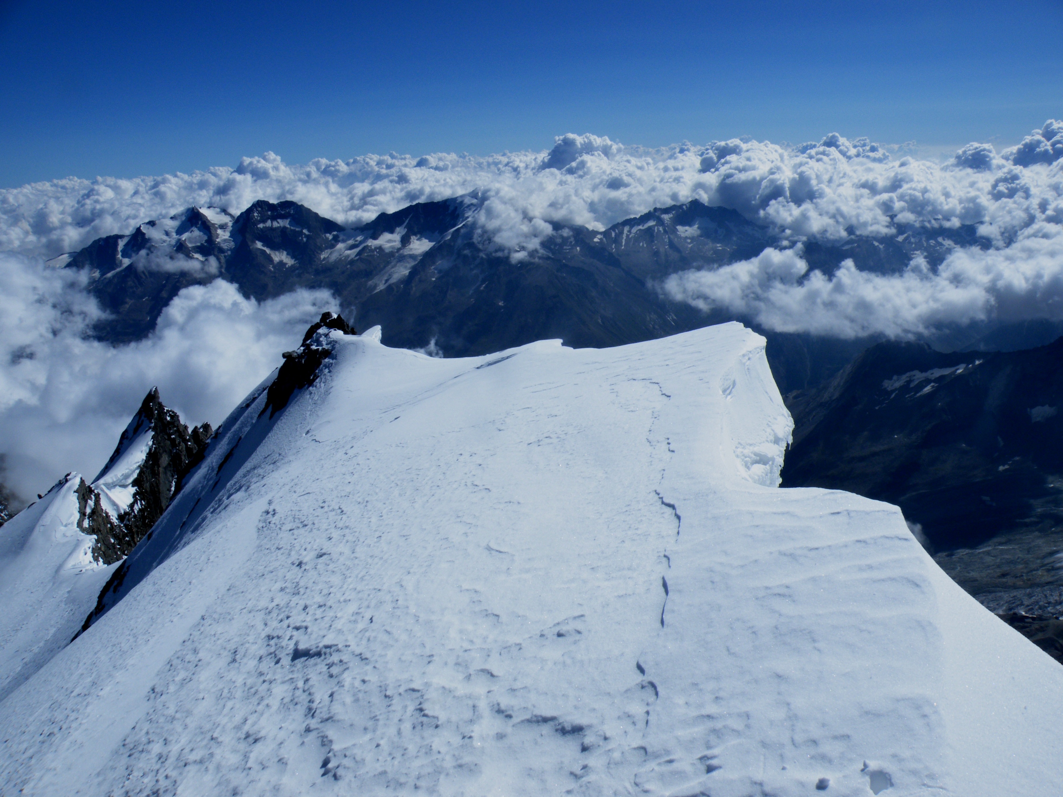
View towards east on the top
Categories:- Alpine Four-thousanders
- Mountains of the Alps
- Mountains of Valais
- Pennine Alps


Wikimedia Foundation. 2010.