- Katanga (province)
-
Katanga
Province du Katanga— Province — 
Seal
Coordinates: 11°08′S 27°06′E / 11.133°S 27.1°ECoordinates: 11°08′S 27°06′E / 11.133°S 27.1°E Country  Democratic Republic of the Congo
Capital Lubumbashi Largest city Lubumbashi Government – Governor Moïse Katumbi Chapwe Area – Total 496,871 km2 (191,843 sq mi) Population (2003 est.) – Total 8,167,240 – Density 16.4/km2 (42.6/sq mi) Demonym Katangan National language KiSwahili, Tshiluba Districts 5 Cities 3 Website katanga.cd Katanga is one of the provinces of the Democratic Republic of the Congo. Between 1971 and 1997, its official name was Shaba Province. Under the new constitution, the province was to be replaced by four smaller provinces by February 2009; this did not actually take place.
Katanga's regional capital is Lubumbashi. Its area is 518,000 km² (larger than California and 16 times larger than Belgium). Katanga had a population estimated in 2003 at about 8,167,240. Farming and ranching are carried out on the Katanga Plateau. The eastern part of the province is a rich mining region, which supplies cobalt, copper, tin, radium, uranium, and diamonds. The capital city, Lubumbashi, is the second largest city in the Congo.
Contents
New provinces
Following the 2005 Constitution (effective 18 February 2006), Katanga was to be divided into four new provinces within 36 months (18 February 2009): Haut-Katanga, Haut-Lomami, Lualaba, and Tanganyika. As of October 2010, this had not taken place.[1]
History
Main article: History of KatangaIn the past, Katanga has struggled significantly for independence from the rest of the country.
Government
Moïse Katumbi Chapwe, a businessman, is the governor of Katanga province. He took office on 24 February 2007.[2]
Economy
Copper mining is an important part of the economy of Katanga province.[3] Cobalt mining by individual contractors is also prevalent. There are a number of reasons cited for the discrepancy between the vast mineral wealth of the province and the failure of the wealth to increase the overall standard of living.[4] Gecamines is the state owned mining company which has monopoly concessions in the province.
Medical care
The Jason Sendwe Hospital is the largest hospital in the province. It is located in Lubumbashi.
Climate
Katanga has a wet and dry season. Rainfall is about 49 inches per year (120 cm).[5]
Geography
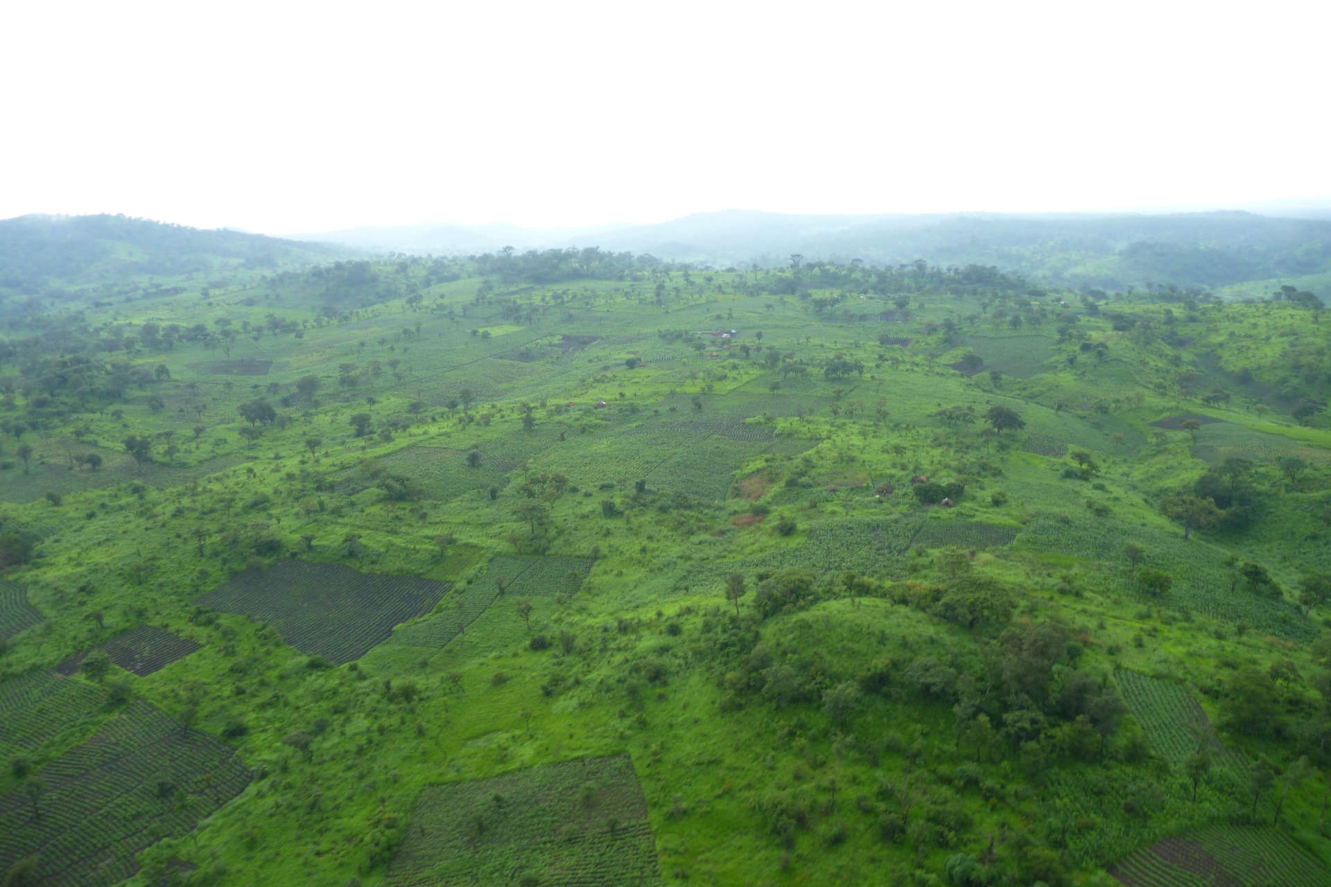
 Katanga hills
The province forms the Congolese border with Angola and Zambia. The province also borders Tanzania, although Katanga province and Tanzania do not share a land border but the border is within Lake Tanganyika.
Education
The University of Lubumbashi is the largest university in the province and one of the largest in the country. The university is located in the northern part of Lubumbashi city. The Faculté Méthodiste de Théologie (FMT) is a Methodist seminary which is accredited within the university system.
TESOL, the English Language School of Lubumbashi, is a secondary school that serves the expatriate community. It was founded in 1987 on the grounds of the now defunct French School.[6]
Transportation
Katanga Province has limited railway service centered around Lubumbashi. Reliability is limited. The area also has an airport called Luano Airport which is located northeast of Lubumbashi.
Media
Katanga province is served by television broadcasts. Radio-Télévision Nationale Congolaise (RTNC) has a transmitter in Lubumbashi that re-transmits the signal from Kinshasha. In 2005, new television broadcasts by Radio Mwangaza began in Lubumbashi.
Cities and towns
Notable Katangans
- Laurent-Désiré Kabila former President of the Democratic Republic of the Congo
- Moise Tshombe former President of the breakaway State of Katanga
- Barbara Kanam popular African music singer
See also
References
- ^ "The AMP conclave: Another step towards 2011 elections". Congo Siasa. http://congosiasa.blogspot.com/2010/10/amp-conclave-another-step-towards-2011.html.
- ^ Provinces of Congo (Kinshasa)
- ^ COPPER
- ^ THE STATE VS. THE PEOPLE GOVERNANCE, MINING AND THE TRANSITIONAL REGIME IN THE DEMOCRATIC REPUBLIC OF CONGO
- ^ Katanga, or Shaba (province, Democratic Republic of the Congo) - Britannica Online Encyclopedia
- ^ Home
- ^ a b "Katanga: largest cities and towns and statistics of their population". World Gazetteer. http://world-gazetteer.com/wg.php?x=1263071407&men=gcis&lng=en&des=gamelan&geo=-46&srt=npan&col=abcdefghinoq&msz=1500&pt=c&va=&geo=-856.
External links
- The United Nations and the Congo
- Meaning of flag
- WorldStatesmen- Congo (Kinshasa)
- The Bank Notes of Katanga
- Rush and Ruin: The Devastating Mineral Trade in Southern Katanga

Wikimedia Commons has media related to: Cities and communes Lubumbashi (capital) Communes: Annexe, Kamalondo, Kampemba, Katuba, Kenya, Lubumbashi, RuashiKolwezi Communes: Dilala, ManikaLikasi Communes: Panda, Kikula, Likasi, TshituruDistricts and territories Kolwezi District Territories: Lubudi, MutshatshaCity of Kolwezi (see above)Lualaba District Territories: Dilolo, Kapanga, SandoaHaut-Katanga District Haut-Lomami District Tanganyika District Provinces of the Democratic Republic of the Congo Current provinces Bandundu · Bas-Congo · Équateur · Kasai-Occidental · Kasai-Oriental · Katanga · Kinshasa · Maniema · Nord-Kivu · Orientale · Sud-Kivu · Ituri Interim Administration
1962-1966 Cuvette-Centrale · Ubangi Province · Moyen-Congo · Lomami · Luluabourg · Sankuru · Sud-Kasaï · Unité Kasaïenne · Lualaba · Katanga Oriental · Nord-Katanga · Congo Central · Kwango · Kwilu · Mai-Ndombe · Maniema · Kivu Central · Nord-Kivu · Kibali-Ituri · Uele · Haut-Congo
See also Proposed provinces of the Democratic Republic of the CongoCategories:- Former provinces of the Democratic Republic of the Congo
- Katanga (province)
Wikimedia Foundation. 2010.