- List of county routes in Niagara County, New York (26–50)
-
Niagara (NY) County Routes (26–50) CR 26 • CR 31 • CR 32 • CR 35 • CR 36 • CR 40 • CR 44 • CR 45 Route 26
County Route 26 Location: {{{location}}} Length: 2.09 mi[1] (3.36 km) County Route 26 is a north–south route in the eastern edge of Niagara County from the village of Middleport north into Hartland. Niagara CR 26, named Stone Road, is the continuation of CR 45 (North Main St.)from within the village. Route 26 runs from its south end at the village line where Niagara CR 45 (North Main St.) ends and travels north to 2.09 miles (3.36 km) to end at New York State Route 104 (Ridge Rd.) in Hartland. The entire length of County Route 26 overlaps New York State Route 271.
Location Mile[1] Destinations Notes Village of Middleport - Town of Hartland Line 0.0 CR 45 (North Main Street) Southern terminus of CR 26 Hartland 2.09  NY 104 (Ridge Road)
Northern terminus of CR 26/NY 271 1.000 mi = 1.609 km; 1.000 km = 0.621 mi Route 31
County Route 31 Location: {{{location}}} Length: 2.08 mi[1] (3.35 km) County Route 31 is an east–west route just north of the City of Lockport named Old Niagara Road. CR 31 begins its west end at the Lockport City Line with CR 19 (Stone Rd.) and CR 23 (Plank Rd.). From there CR 31 heads east along the northern edge of the city, intersecting New York State Route 78 (Lake Ave.) at 1.69 miles. Not long after, CR 31 reaches CR 77 (N. Canal Rd.) just short of the Erie Canal, where the designation has its east end.
The roadway that continues east over the Erie Canal is Cold Springs Road and travels 0.65 miles to end at New York State Route 31 (Chestnut Ridge Rd.).
Location Mile[1] Destinations Notes Lockport City Line 0.0 CR 19 (Stone Road) and CR 23 (Plank Road) Western terminus of CR 31 Town of Lockport 1.69  NY 78 (Lake Avenue)
2.08 CR 77 (North Canal Road) Eastern terminus of CR 31 1.000 mi = 1.609 km; 1.000 km = 0.621 mi Route 32
County Route 32 Location: {{{location}}} Length: 4.50 mi[1] (7.24 km) County Route 32 is a well-traveled east–west county route in the Towns of Wheatfield and Pendleton named Mapleton Road. County Route 32 begins its west end at CR 6 (Lockport Rd.) where CR 6 turns to run northeast, while CR 32 continues due east. CR 32 intersects NY 425 (Shawnee Rd.) at 0.74 miles and shortly after crosses into the Town of Pendelton. CR 32 passes by the Starpoint Central School District which lie on the north side of the road between Pendelton-Wheatfield Townline and Aiken Roads. At 4.0 miles, CR 32 intersects the northern end of Main Road, a heavily traveled cut through for people traveling south to New York State Route 270. Not long after Main, CR 32 reaches its east end at NY 270 (Campbell Blvd.).
Mapleton Road itself continues due east with no county route designation to CR 96 (Bear Ridge Rd.) on the bank of the Erie Canal where the road ends.
Location Mile[1] Destinations Notes Wheatfield 0.0 CR 6 (Lockport Road) Western terminus of CR 32 0.74  NY 425 (Shawnee Road)
Pendleton 4.00 Main Road South to NY 270 4.50  NY 270 (Campbell Boulevard)
Eastern terminus CR 32 1.000 mi = 1.609 km; 1.000 km = 0.621 mi Route 35
County Route 35 Location: {{{location}}} Length: 3.56 mi[1] (5.73 km) County Route 35 is a north–south county route in the Town of Royalton named Riddle Road. CR 35 runs along the western edge of the town and travels from CR 58 (Tonawanda Creek Rd. N.) in the south north to New York State Route 93/CR 133 (Dysinger Rd.) and intersects only local roadways for its length of 3.56 miles.
Location Mile[1] Destinations Notes Royalton 0.0 CR 58 (Tonawanda Creek Road North) Southern terminus of CR 35 3.56  NY 93 / CR 133 (Dysinger Road)
Northern terminus of CR 35 1.000 mi = 1.609 km; 1.000 km = 0.621 mi Route 36
County Route 36 Location: {{{location}}} Length: 9.71 mi[1] (15.63 km) County Route 35 is an east–west (southwest–northeast) county route in the Towns of Porter and Wilson named Youngstown or Youngstown-Wilson Road. CR 36 begins its west end at New York State Route 93 (Youngstown-Lockport Rd.) and heads north, curving east just south of the Niagara Frontier Country Club. The roadway heads due east until the road "Y's" at Bradley Road. From here CR 36 maintains a general east-northeast direction for the remainder of its routing. Well traveled Ransomville Road (CR 17) is intersected as well as many other local roadways. After CR 36 enters the Town of Wilson, and nears the Village of Wilson, CR 78 (W. Lake Rd.) is intersected which travels west a very short distance to NY 18. At 9.71 miles, CR 36 reaches the Wilson Village Line where the road changes names and designation, becoming Young Street and assuming the CR 126 designation.
Location Mile[1] Destinations Notes Porter 0.00 NY 93 (Youngstown-Lockport Road)Southern terminus of CR 35 5.51 CR 17 (Ransomville Road) Wilson 9.64 CR 78 (West Lake Road) West to NY 18 Wilson Village Line 9.71 CR 126 (Young Street) Eastern terminus of CR 35 1.000 mi = 1.609 km; 1.000 km = 0.621 mi Route 40
County Route 40 Location: {{{location}}} Length: 3.33 mi[1] (5.36 km) County Route 40 is an east–west route located in the Town of Pendleton and is named Beach Ridge Road. CR 40 begins its west end at CR 20 (Pendleton-Wheatfield Townline Rd.) and from there heads in a general northeast direction atop a local ridge. CR 40 intersects only two roads along its routing, Aiken and Meyer Roads respectively. Before reaching its end, Route 40 turns to head due east and ends at the intersection of New York State Route 270 (Campbell Blvd.), CR 121 (Feigle Rd.) and Main Road in the hamlet of Pendleton Center.
Location Mile[1] Destinations Notes Wheatfield-Pendleton Town Line 0.0 CR 20 (Penelton-Wheatfield Townline Road) Western terminus of CR 40 Pendleton 3.33 NY 270 (Campbell Bouleavrd) /
CR 121 (Feigle Road) / Main RoadEastern terminus of CR 40 1.000 mi = 1.609 km; 1.000 km = 0.621 mi Route 44
County Route 44 Location: {{{location}}} Length: 0.82 mi[1] (1.32 km) County Route 44 is a short north–south county route named Comstock Road and is located in the Town of Cambria. CR 44 begins its southern end at CR 6 (Lockport Rd.) and heads north only 0.82 miles, passing farms and houses until it reaches New York State Route 31 (Saunders Settlement Rd.) where the County Route designation ends.
Comstock Road itself continues north of NY 31 another 1.32 miles to CR 5 (Upper Mountain Rd.).
Location Mile[1] Destinations Notes Cambria 0.0 CR 6 (Lockport Road) Southern terminus of CR 44 0.82  NY 31 (Saunders Settlement Road)
Northern terminus of CR 44 1.000 mi = 1.609 km; 1.000 km = 0.621 mi Route 45
County Route 45 Location: {{{location}}} Length: 0.59 mi[1] (0.95 km) 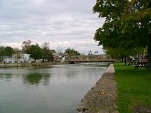
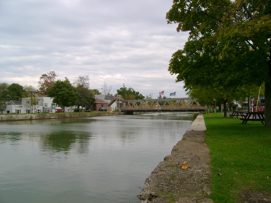
County Route 45 is a short north–south route in the Village of Middleport named North Main Street. CR 45 begins on the north side of the Erie Canal at the intersection of Main and Mill Streets. North Main heads north designated as CR 45 for just over a half a mile to the Village of Middleport - Town of Hartland Line where Route 45 ends as North Main Street and Route 26 begins as Stone Road. The entire length of County Route 45 overlaps New York State Route 271.
Location Mile[1] Destinations Notes Middleport 0.0 Mill Street Southern terminus of CR 45
(NY 271 continues south to end at NY 31)Village of Middleport - Town of Hartland Line 0.59 CR 26 (Stone Road) Northern terminus of CR 45 1.000 mi = 1.609 km; 1.000 km = 0.621 mi See also
References
External links
Niagara (NY) County Routes 1–25 • 26–50 • 51–75 • 76–100 • 101–125 • 126–141 • 271 • 902–907 Categories:- Infobox road small transclusions without location
- County routes in Niagara County, New York
Wikimedia Foundation. 2010.