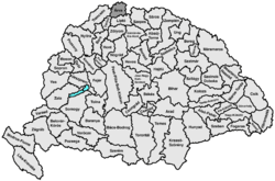
- Árva County
-
Árva County County of the Kingdom of Hungary 15th century–1920 
Coat of arms
Capital Alsókubin History - Established 15th century - Treaty of Trianon June 4 1920 Area - 1910 2,019 km2 (780 sq mi) Population - 1910 78,700 Density 39 /km2 (101 /sq mi) Today part of Slovakia, Poland Dolný Kubín is the current name of the capital. Árva (Slovak: Orava, Polish: Orawa, German: Arwa) is the Hungarian name of a historic administrative county (comitatus) of the Kingdom of Hungary. Its territory is presently in northern Slovakia and southern Poland. Today, the Slovak name is only used as an informal designation of the corresponding territory (see Orava (region)).
Contents
Geography
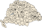
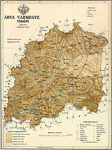 19th century map of Árva county
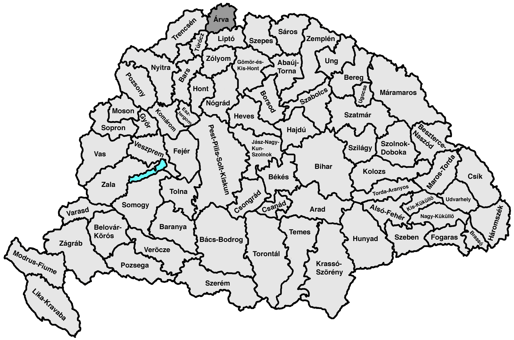
In the past Árva county shared borders with the Austrian land Galicia and the Hungarian counties Trencsén (Trenčín), Turóc (Turiec) and Liptó (Liptov). The county's territory was situated along the Orava River between Zázrivá and the Tatra mountains. Its area was 2,019 km² around 1910. Now its territory is divided by the Polish-Slovakian border. The main Polish town of Orava is Jabłonka.
Capitals
The capital of the county was the Orava Castle, then Veličná and since the late 17th century Dolný Kubín.
History
Árva county as a Hungarian comitatus arose before the 15th century. In the aftermath of World War I, the area became part of newly formed Czechoslovakia, as recognized by the concerned states in the 1920 Treaty of Trianon. After a border dispute (treated in detail under Polish–Czechoslovak border conflicts) several villages in the north-east of the now defunct Árva county's territory were exchanged between Poland and Czechoslovakia.
During World War II, when Czechoslovakia was split temporarily, Orava was part of independent Slovakia. After World War II Orava county was in Czechoslovakia again. In 1993, Czechoslovakia was split and Orava became part of Slovakia.
Demographics
Population by language (1910 census):
- Slovak = 59,096
- Polish = 16,131
- Hungarian = 2,000
- German = 1,518
Districts
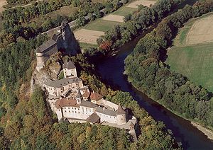 The original seat of the county was Orava Castle
In the early 20th century, the districts and their capitals were:
Districts (járás) District Capital Alsókubin Alsókubin, SK Dolný Kubín Námesztó Námesztó, SK Námestovo Trsztena Trsztena, SK Trstená Vár Turdossin, SK Tvrdošín External links
- (Slovak) http://www.orava.sk
- (Polish) http://skansen.nowotarski.pl Orawa Ethnographic Park
- http://www.oravafoto.com
- (Slovak) http://www.namestovo-orava.webnode.sk
Counties of the Kingdom of Hungary (1886) Abaúj-Torna · Alsó-Fehér · Arad · Árva · Bács-Bodrog · Baranya · Bars · Békés · Bereg · Beszterce-Naszód · Bihar · Borsod · Brassó · Csanád · Csík · Csongrád · Esztergom · Fejér · Fogaras · Gömör-Kishont · Győr · Hajdú · Háromszék · Heves · Hont · Hunyad · Jász-Nagykun-Szolnok · Kis-Küküllő · Kolozs · Komárom · Krassó-Szörény · Liptó · Máramaros · Maros-Torda · Moson · Nagy-Küküllő · Nógrád · Nyitra · Pest-Pilis-Solt-Kiskun · Pozsony · Sáros · Somogy · Sopron · Szabolcs · Szatmár · Szeben · Szepes · Szilágy · Szolnok-Doboka · Temes · Tolna · Torda-Aranyos · Torontál · Trencsén · Turóc · Udvarhely · Ugocsa · Ung · Vas · Veszprém · Zala · Zemplén · Zólyom
Corpus separatum: Fiume
Autonomous Kingdom of Croatia-Slavonia: Bjelovar-Križevci · Lika-Krbava · Modruš-Rijeka · Požega · Srijem · Varaždin · Virovitica · Zagreb
 Categories:
- 1920 disestablishments
- Counties in the Kingdom of Hungary
- States and territories established in the 15th century


Wikimedia Foundation. 2010.