- Námestovo
-
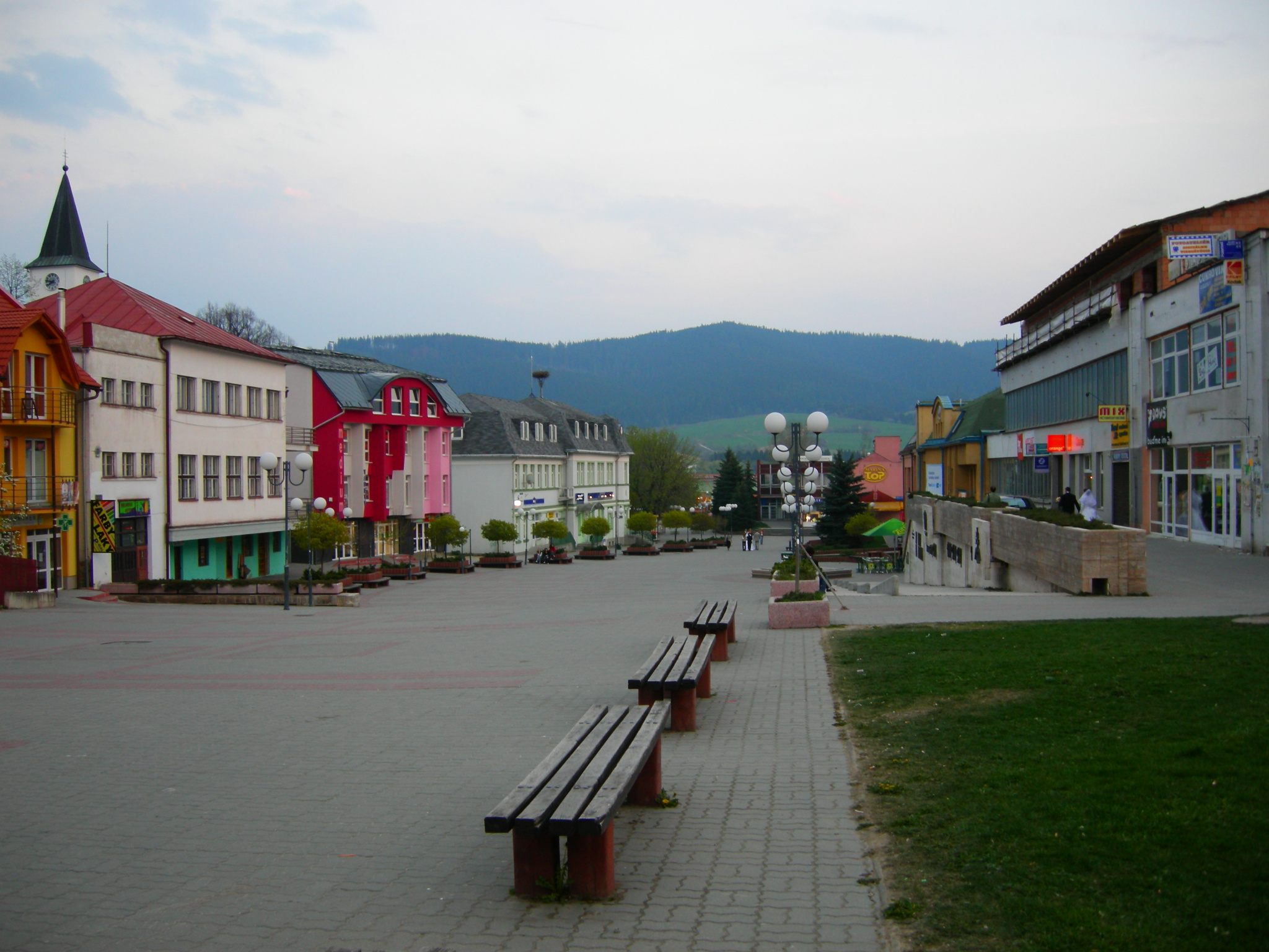
Námestovo Town 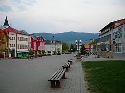 Hviezdoslav Square in Námestovo
Country Slovakia Region Žilina District Námestovo Tourism region Orava Elevation 614 m (2,014 ft) Coordinates 49°24′10″N 19°28′53″E / 49.40278°N 19.48139°E Area 44.474 km2 (17 sq mi) Population 8,094 (2005-12-31) Density 182 / km2 (471 / sq mi) First mentioned 1557 Mayor Ján Kadera Timezone CET (UTC+1) - summer (DST) CEST (UTC+2) Postal code 029 01 Phone prefix 421-43 Car plate NO 

 Location of Námestovo in Slovakia
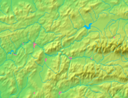
 Location of Námestovo in the Žilina Region
Wikimedia Commons: Námestovo Statistics: MOŠ/MIS Website: www.namestovo.sk Námestovo (Hungarian: Námesztó; Polish: Namiestowo) is a town in northern Slovakia. It is the capital and largest town of Námestovo District in the Žilina Region. As of 2005[update] its population was 8,094.
Contents
Geography
The town is located under the Orava Highlands at the shores of the Orava reservoir, not far from the Polish border, around 15 km (9.32 mi) from Tvrdošín and 30 km (18.64 mi) from Dolný Kubín.
History
The town was mentioned in the 16th century, when the massive colonisation of Orava took place. It was growing quickly, thanks to its favourable location on the trade route to Poland. The town was burned down at the end of the World War II. The construction of the Orava reservoir affected the way of life in the town, as two-thirds of the town were inundated, including the town centre. Boom of the industry and the following apartment construction in the 1970s contributed to the growth of the town.
Meteorite Magura Meteorite Magura
Demographics
According to the 2001 census, the town had 8,135 inhabitants. 98.65% of inhabitants were Slovaks and 0.65% Czechs.[1] The religious makeup was 92.12% Roman Catholics, 4.95% people with no religious affiliation and 0.84% Lutherans.[1]
Pictures
-

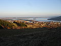
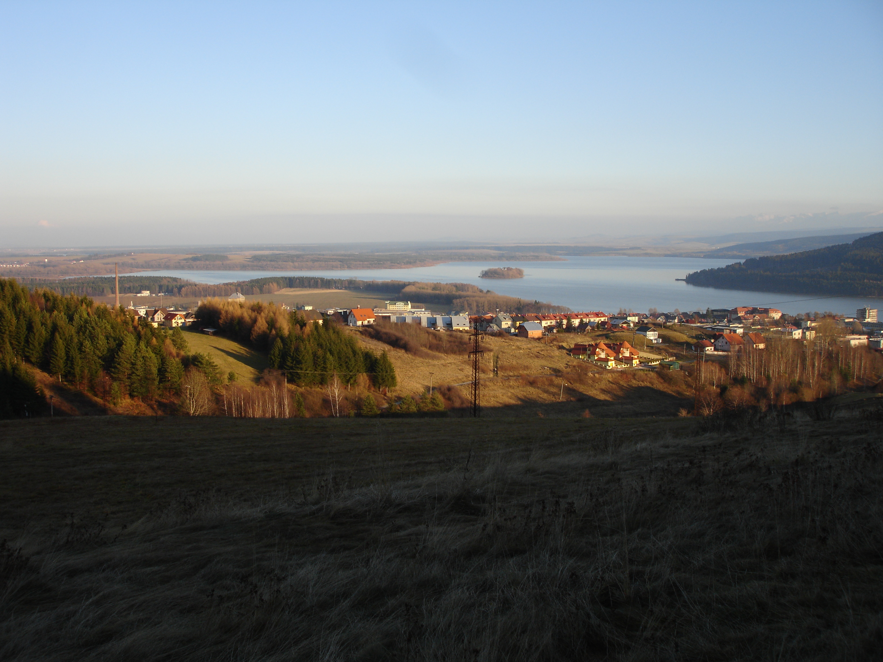
Sunset above Orava dam lake
-
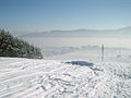
Námestovo in winter
-
Námestovo in autumn
People
References
- ^ a b "Municipal Statistics". Statistical Office of the Slovak republic. Archived from the original on 2008-01-11. http://web.archive.org/web/20080111223415/http://www.statistics.sk/mosmis/eng/run.html. Retrieved 2008-01-26.
External links
- The Town of Námestovo (Slovak)
Námestovo
Babín · Beňadovo · Bobrov · Breza · Hruštín · Klin · Krušetnica · Lokca · Lomná · Mútne · Novoť · Oravská Jasenica · Oravská Lesná · Oravská Polhora · Oravské Veselé · Rabča · Rabčice · Sihelné · Ťapešovo · Vasiľov · Vavrečka · Zákamenné · Zubrohlava Categories:
- Cities and towns in Slovakia
- Žilina Region geography stubs
-


Wikimedia Foundation. 2010.