- Damri
-
Damri
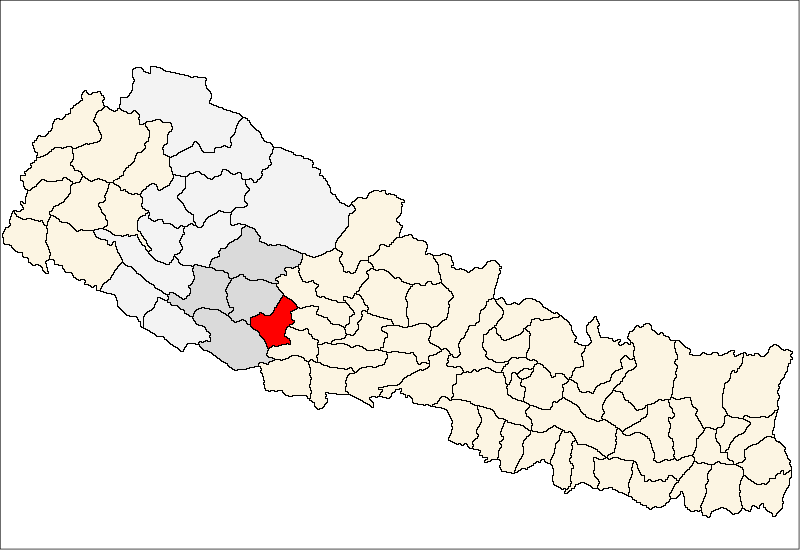
डाम्री— Village Development Committee — Location in Nepal
 Damri
DamriCoordinates: 28°14′N 82°52′E / 28.24°N 82.87°ECoordinates: 28°14′N 82°52′E / 28.24°N 82.87°E Country  Nepal
NepalRegion Mid-Western Zone Rapti Zone District Pyuthan District VDC Damri Wards Population (2001 Census[1]) – Total 3,629 681 households Time zone Nepal Time (UTC+5:45) Damri is a town and Village Development Committee in Pyuthan, a Middle Hills district of Rapti Zone, western Nepal.
Villages in VDC[2]
Ward Lat. Lon Barebang बरेबाङ 28°14'N 82°53'E 1,770m Basai बसै 28°15'N 82°52'E 1,910 Bhalang भलाङ 28°14'N 82°52'E 1,870 Damri डाम्री 28°15'N 82°53'E 1,810 Dangdul डाङडुल 28°15'N 82°53'E 1,770 Dihi डिही 28°14'N 82°53'E 1,498 Gaibang गाइबाङ 28°13'N 82°55'E 1,435 Galdung गल्डुङ 28°14'N 82°52'E 1,650 Gawai गावै 8 28°13'N 82°54'E 1,492 Jhulechaur झूलेचौर 28°16'N 82°53'E 2,160 Kadhe काढे 28°14'N 82°51'E 2,090 Kante काँटे 28°15'N 82°53'E 1,805 Kantegaun काँटेगाउँ 28°15'N 82°53'E 2,010 Latighot लाटिघोट 28°14'N 82°53'E 1,410 Musigade मुसीगाडे 28°14'N 82°54'E 1,450 Narsinge नारसिङ्गे 28°13'N 82°53'E 1,830 Patal पातल 28°13'N 82°52'E 1,890 Pokhara पोखरा 4 28°14'N 82°52'E 1,670 Sano Damri सानो डाम्री 28°15'N 82°52'E 1,638 Thulo Damri ठूलो डाम्री 3 28°15'N 82°52'E 1,750 References
- ^ "Nepal Census 2001". Nepal's Village Development Committees. Digital Himalaya. http://www.digitalhimalaya.com/collections/nepalcensus/form.php?selection=1. Retrieved 21 September 2008.
- ^ "Index of Geographical Names of Nepal, Volume IV: Mid Western Development Region, List of Settlements, Pyuthan". Government of Nepal, National Geographic Information Infrastructure Program. http://www.ngiip.gov.np/pdf/vol4pyuthan.pdf. Retrieved 2011-03-12.
External links
Arkha, Badikot, Bangesal, Baraula, Barjiwang, Belwaspur, Bhingri, Bijaya Nagar, Bijubar, Bijuli, Chuja, Dakhakuwadi Salghari, Damri, Dangwang, Dharamawati, Dharampani, Dhobaghat, Dhuwang, Dungegadi, Gothiwang, Hansapur, Jumrikanda, Khaira, Khawang, Khung, Kochiwang, Ligha, Liwang, Lung, Majhakot, Maranthana, Markawang, Narikot, Naya Gaun, Okharkot, Pakala,
Phopli, Puja, Rajbara, Ramdi, Ruspur Kot, Sari, Swargadwarikhal, Syauliwang, Tarwang, Tiram, Tusara, Wangemarkot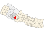 Categories:
- Populated places in Pyuthan District
- Rapti Zone geography stubs

Wikimedia Foundation. 2010.